-
University of Washington
It is finals week for spring quarter at the University of Washington (UW), and graduation celebrations are just beginning. The weather is good, and with the UW campus full of open spaces and interesting buildings, it is the right time for panoramas and for capturing every pixel from zenit to nadir.
Overview
Campus Landmarks
Academic Buildings
- Suzzallo Library
- School of Art and School of Music
- School of Art
- Denny Hall
- Smith Hall and Miller Hall
- Communications Building
Bridges & Pathways
Panoramas
All panoramas photographed that day were taken without a tripod using a Nikon Z30 with a 7.5mm Fisheye Lens. In the library, this was necessary anyway, since photography is allowed but tripods are not permitted in the UW Libraries.
Red Square
This panorama captures Red Square, a central open space on the University of Washington campus known for its iconic views and architectural surroundings.
Interactive Panorama Red Square
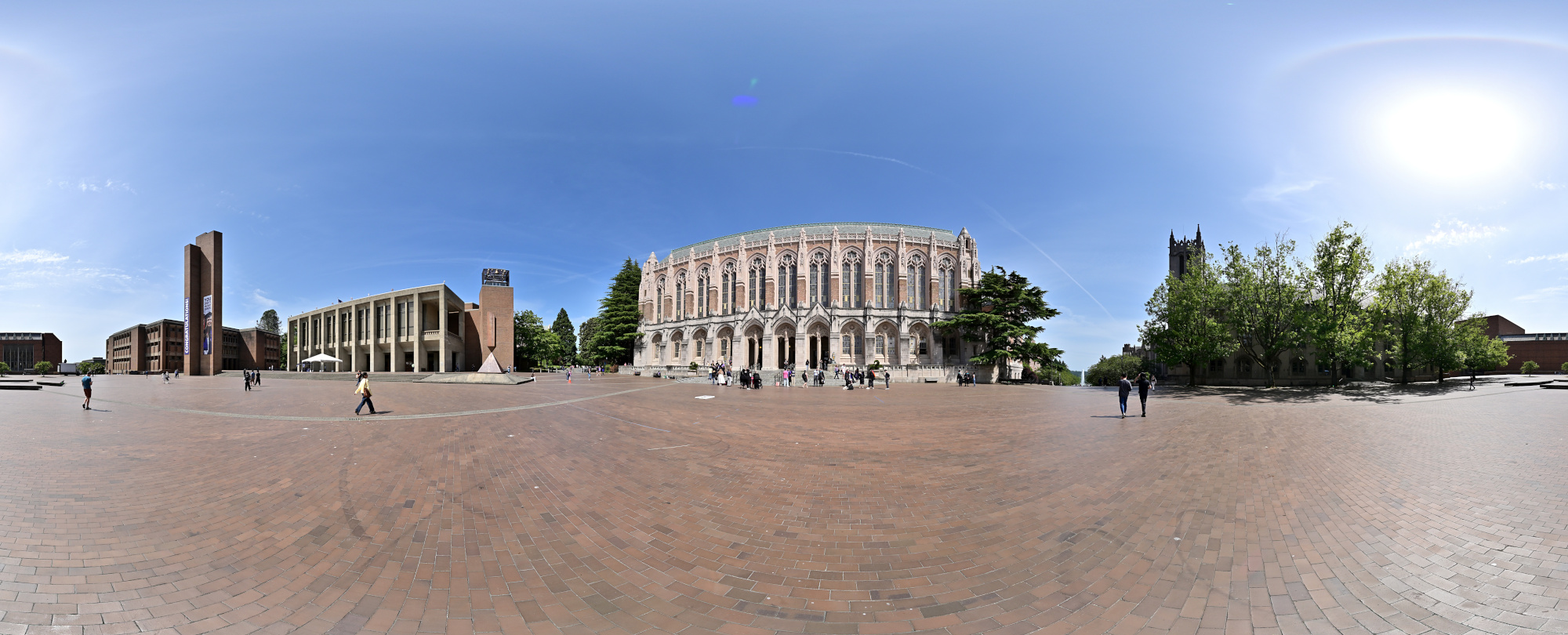
1/1000s f/5,6 ISO 100/21° f=7,5mm
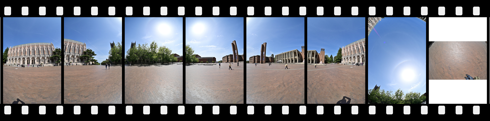
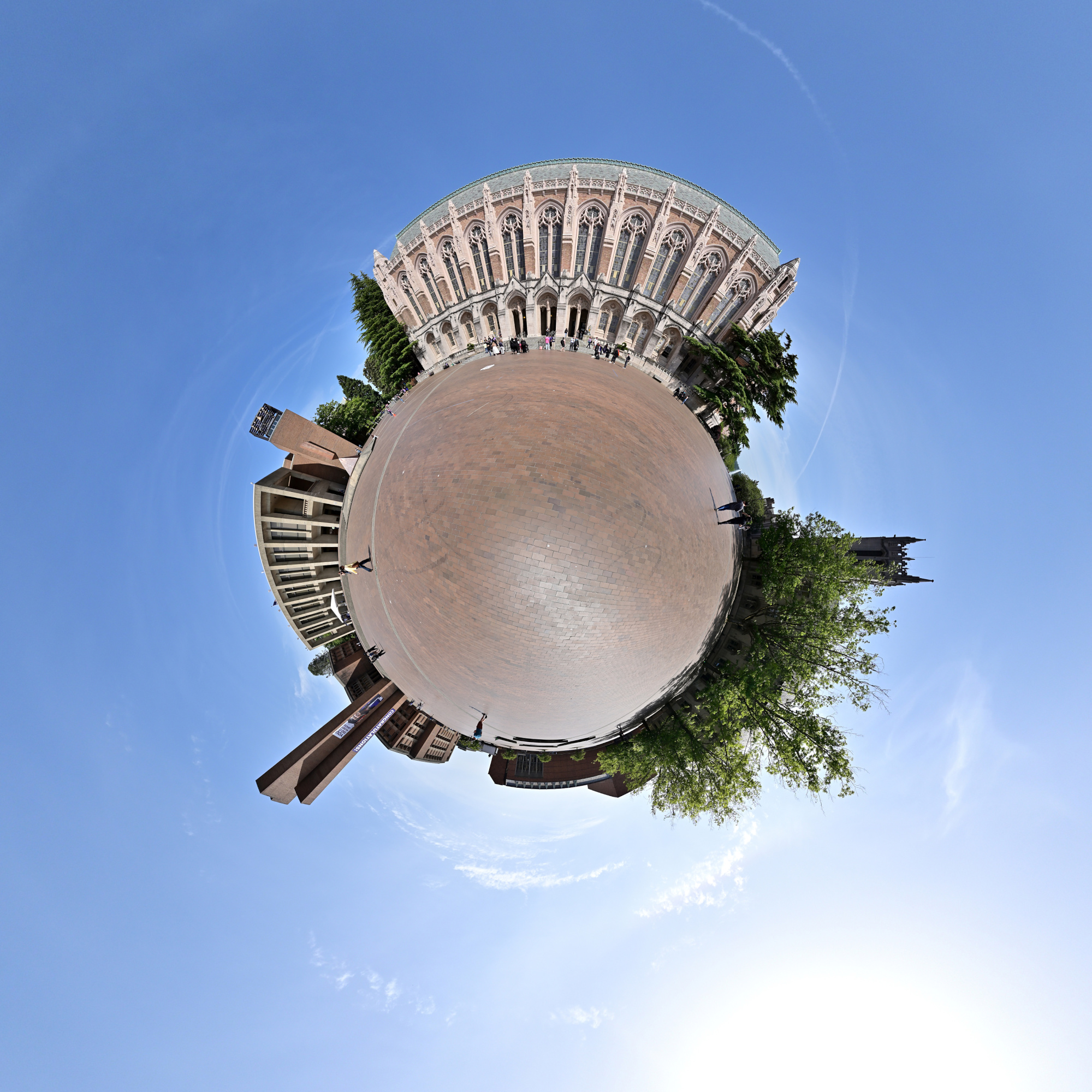
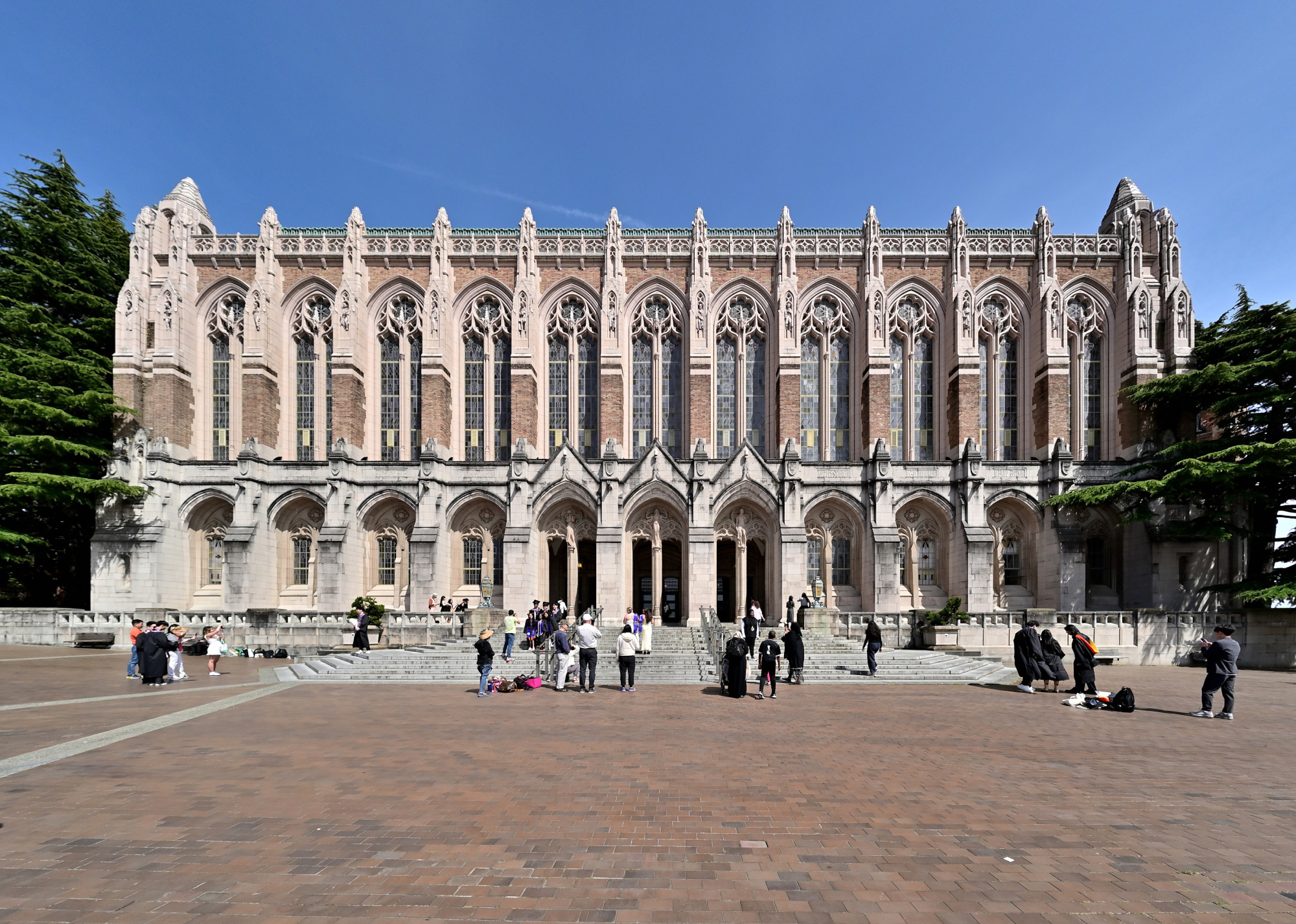
Suzzallo Library
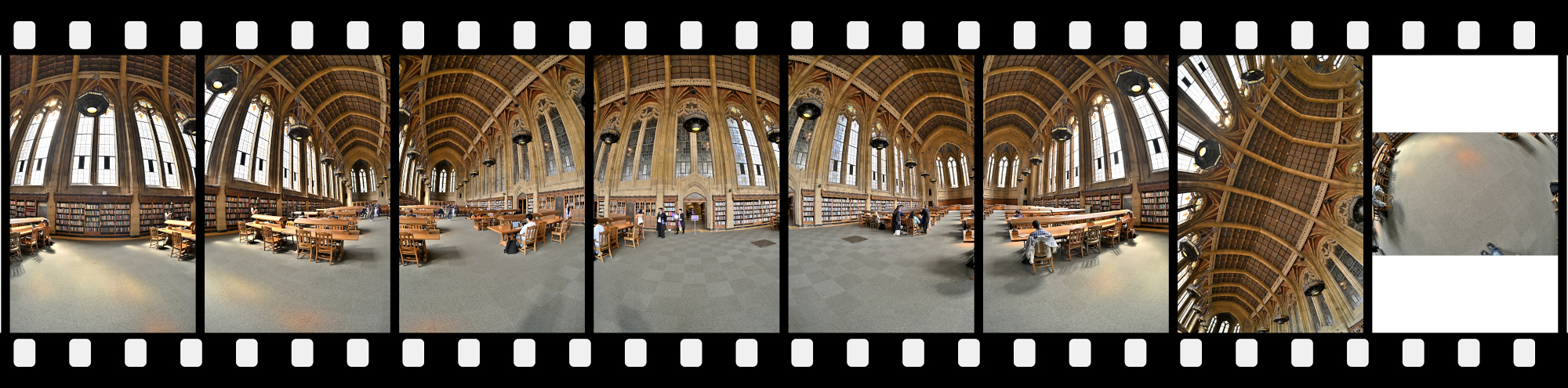
Suzzallo Library stands as one of the University of Washington's most iconic buildings, with its grand Gothic architecture lending a timeless presence to the campus landscape.
Suzzallo Library Reading Room
Interactive Panorama Suzzallo Library 1
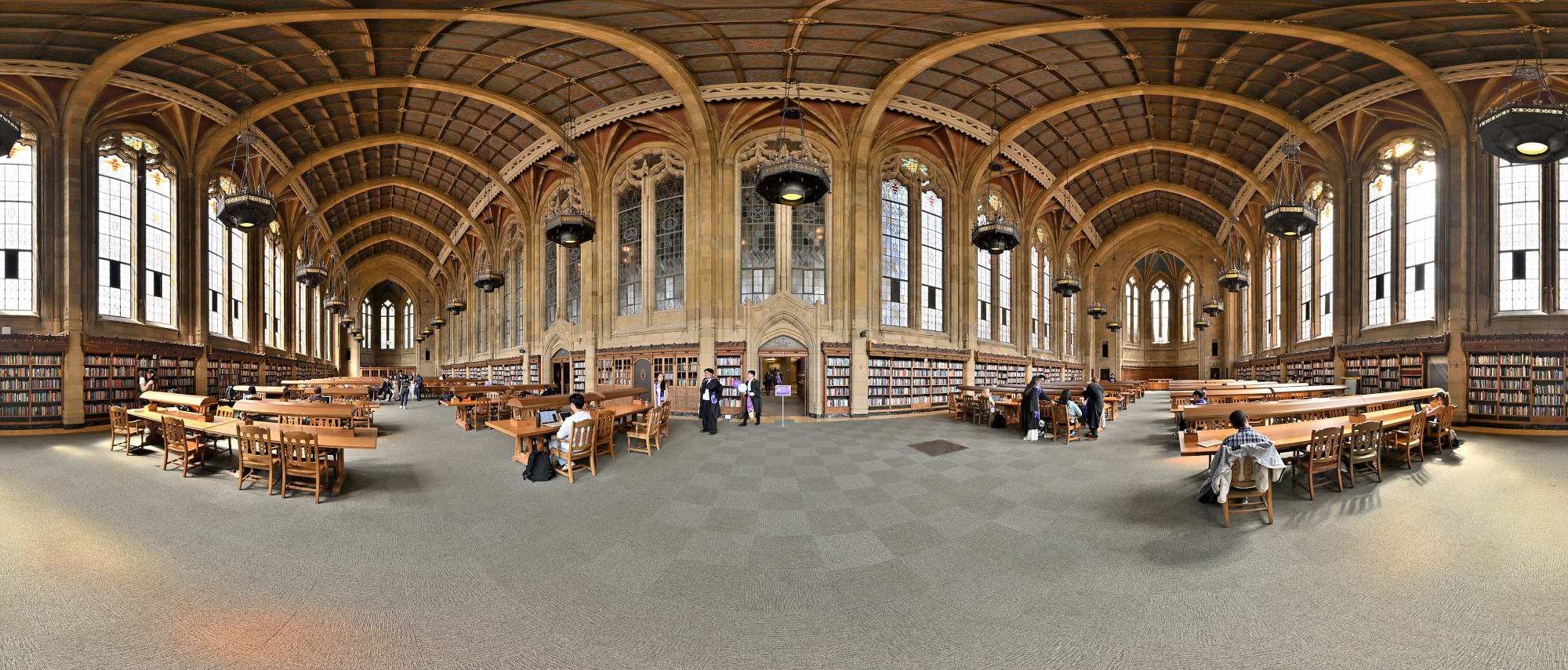
1/125 f/5,6 ISO 320/26° f=7,5mm
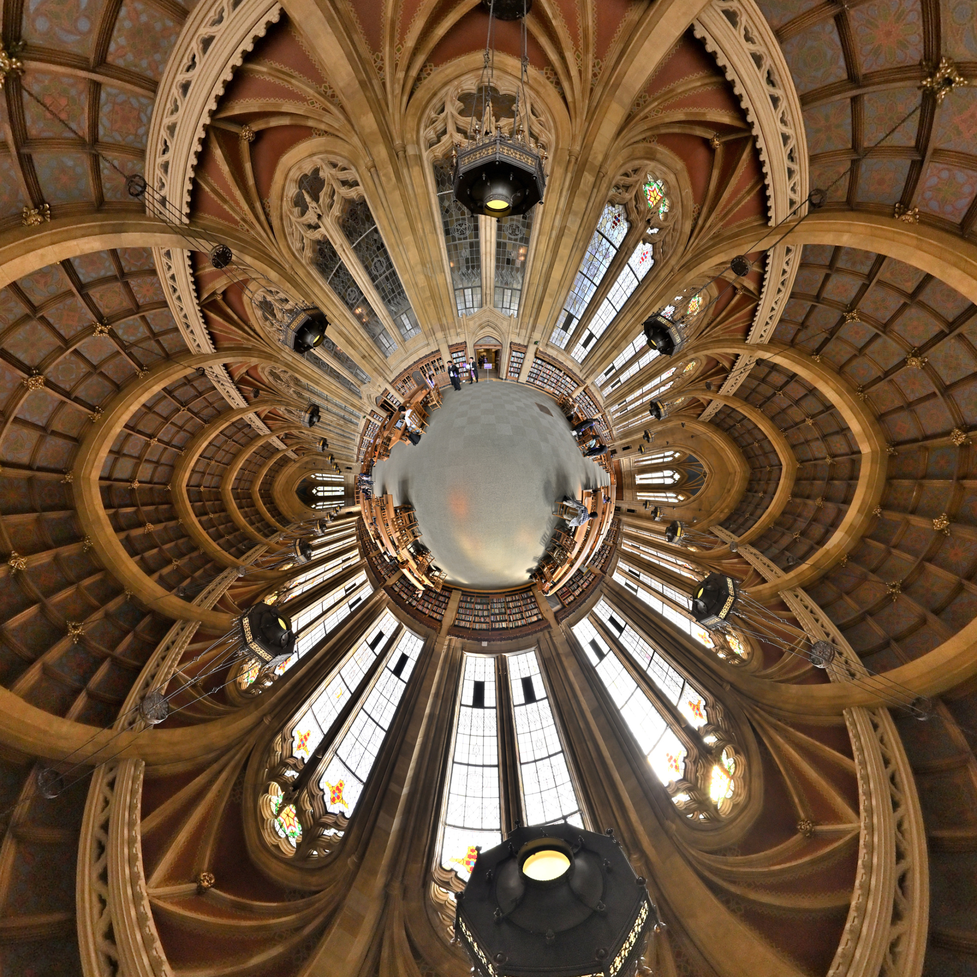
Interactive Panorama Suzzallo Library 2
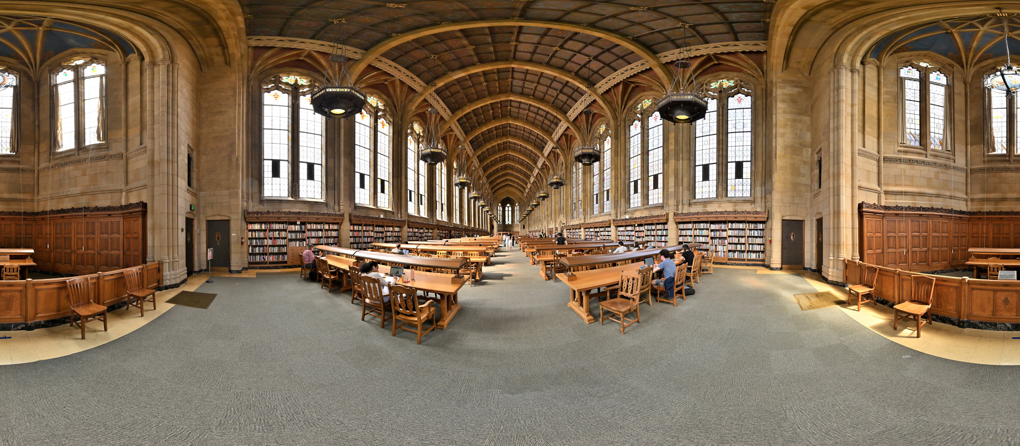
1/125 f/5,6 ISO 320/26° f=7,5mm
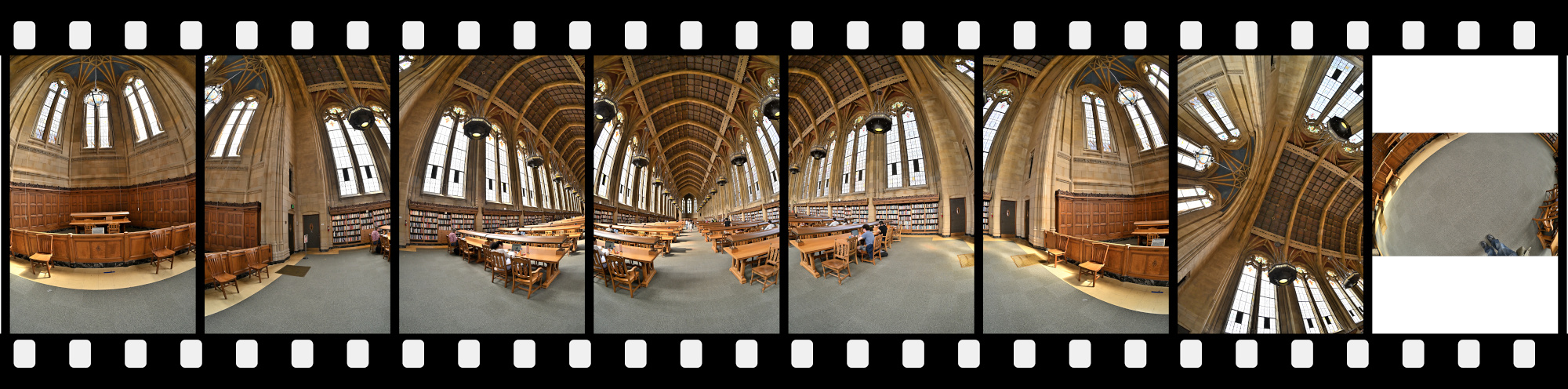
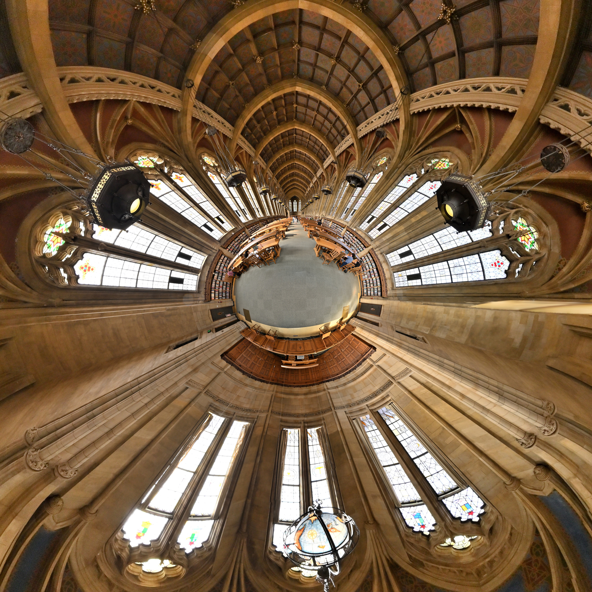
Interactive Panorama Suzzallo Library 3
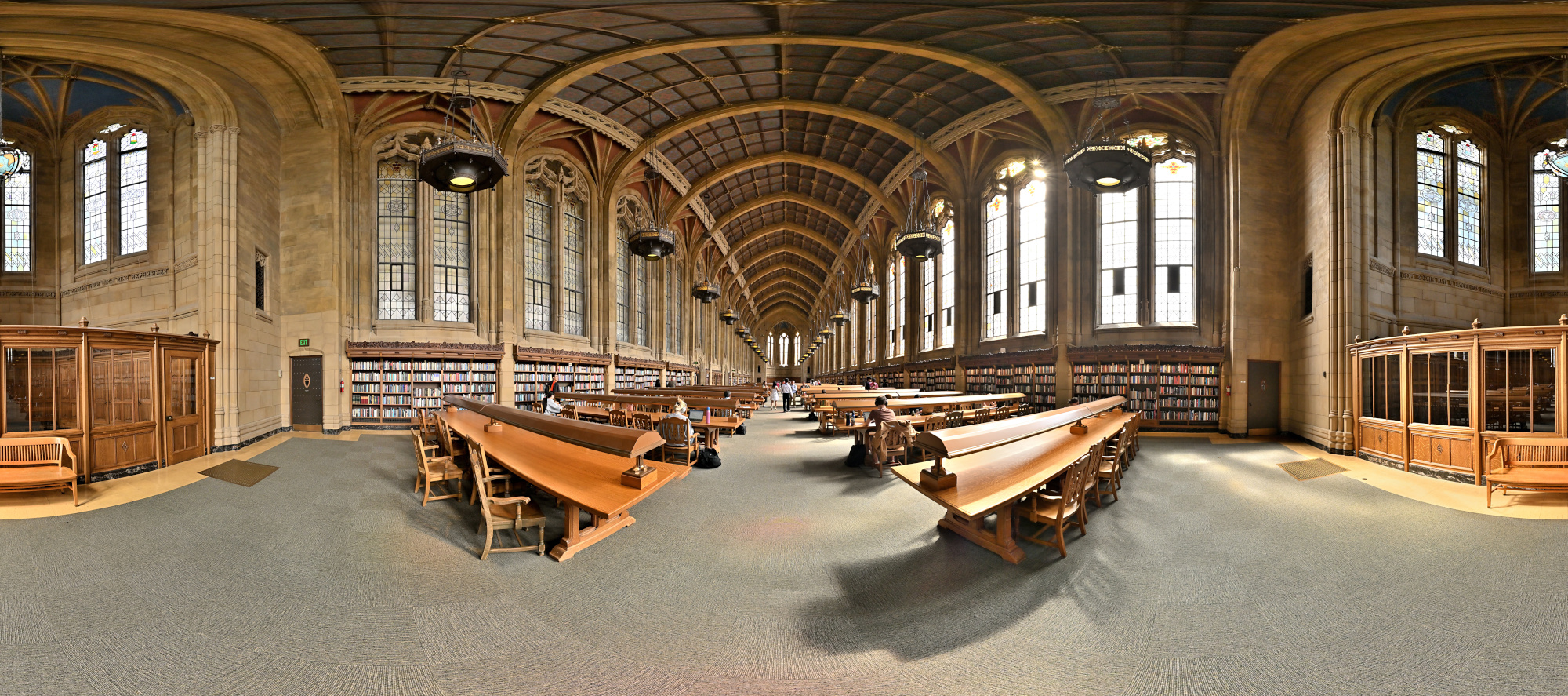
1/125 f/5,6 ISO 320/26° f=7,5mm
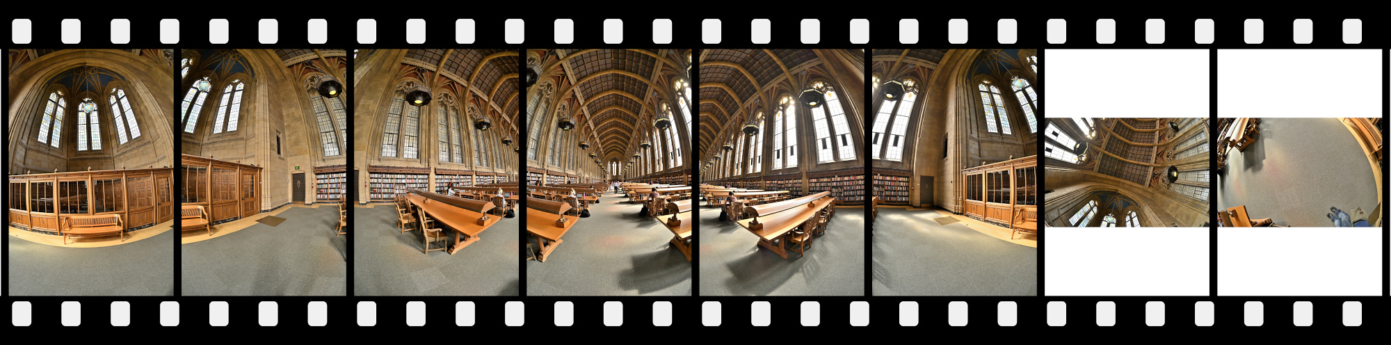
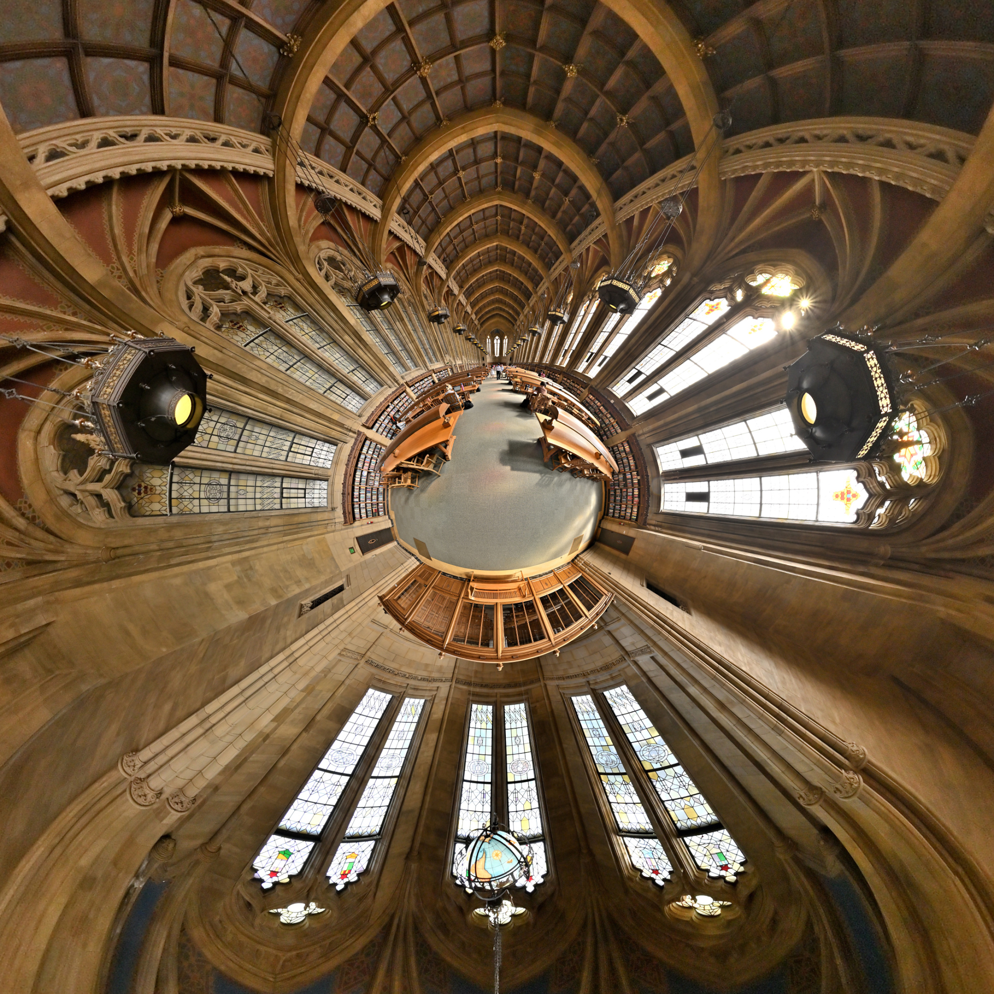
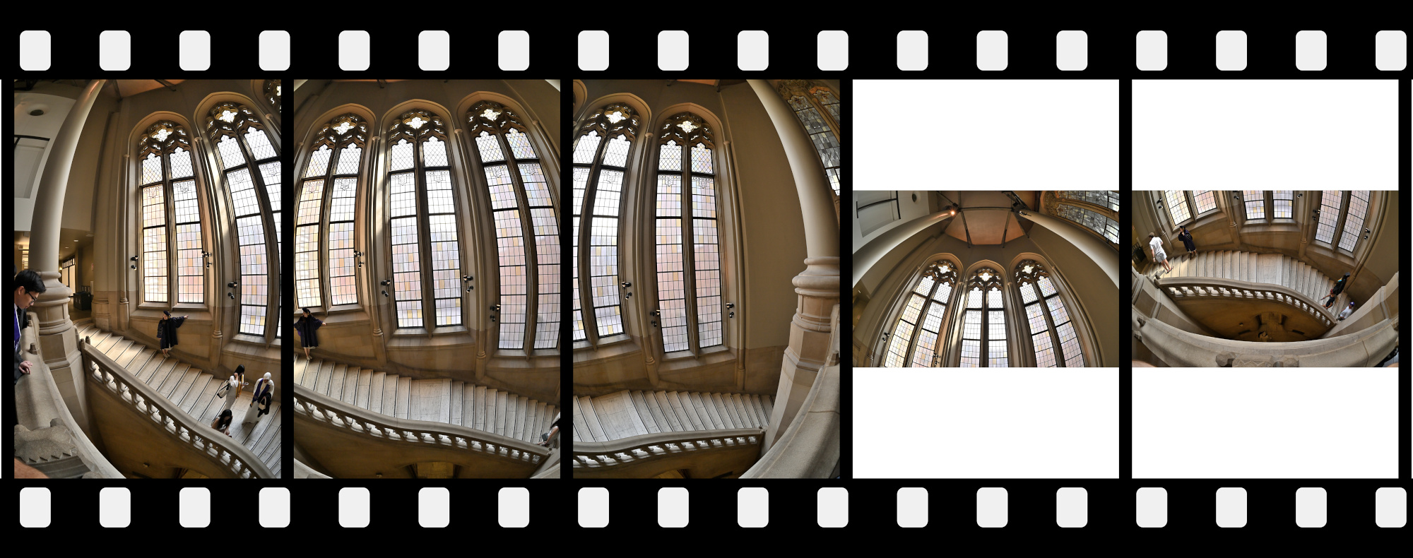
Suzzallo Library Treppenaufgang 1x3
1/125s f/5,6 ISO 1320/26° f=7,5mm
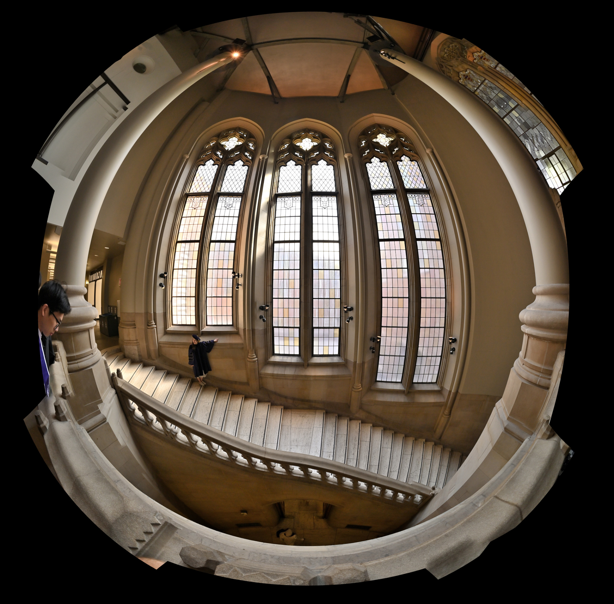
Circular Fisheye projection
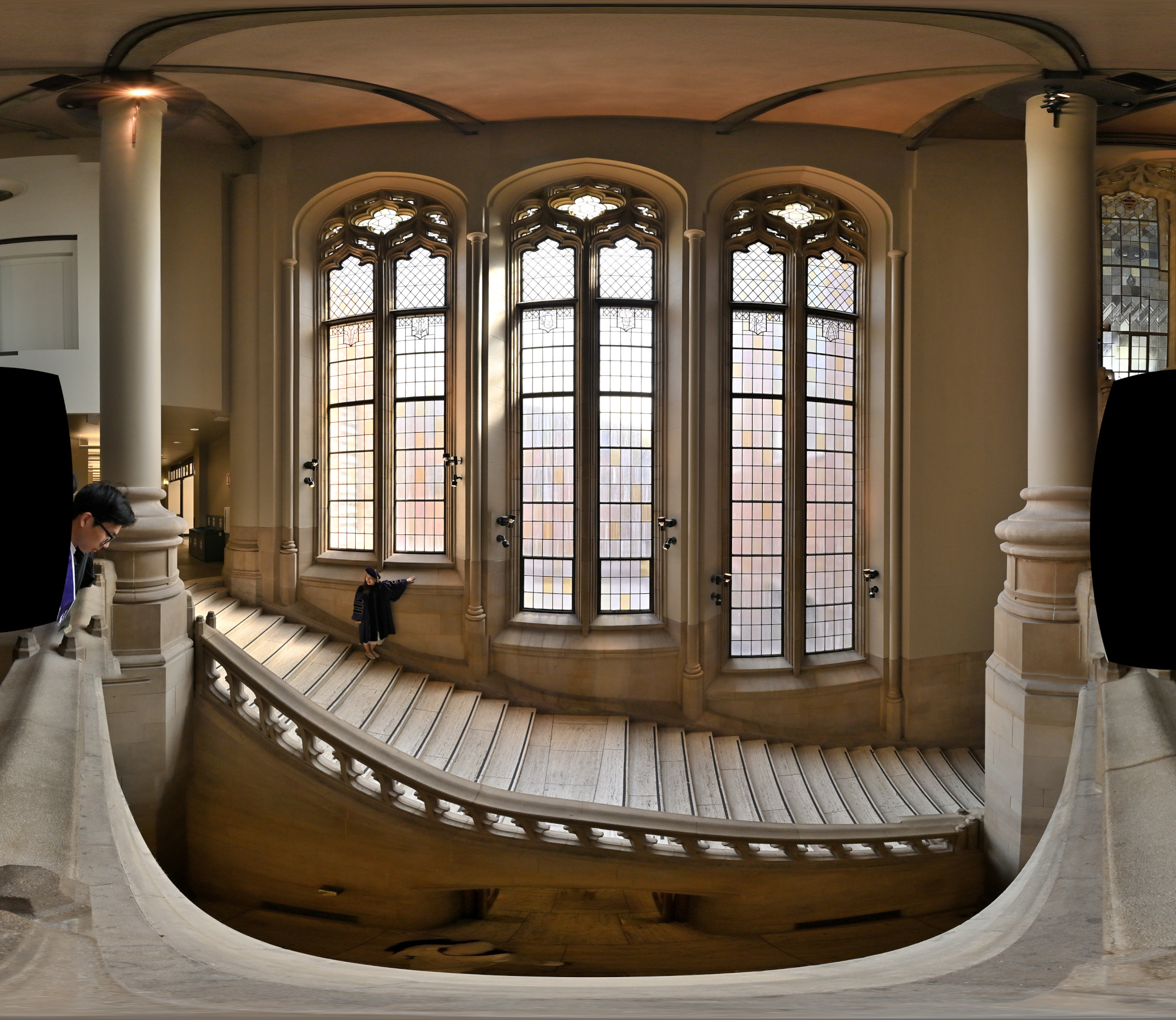
Equirectangular projection
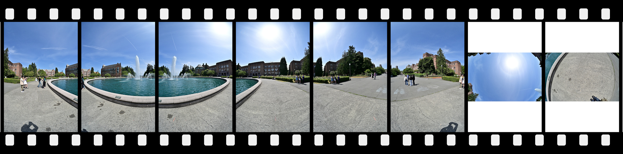
3 + up + down
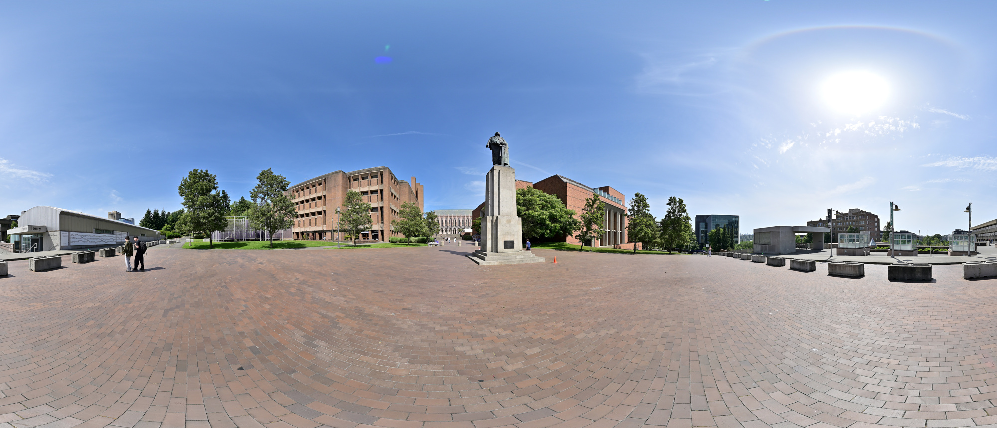
View from Red Square
1/1000s f/5,6 ISO 100/21° f=7,5mm
Equirectangular projection
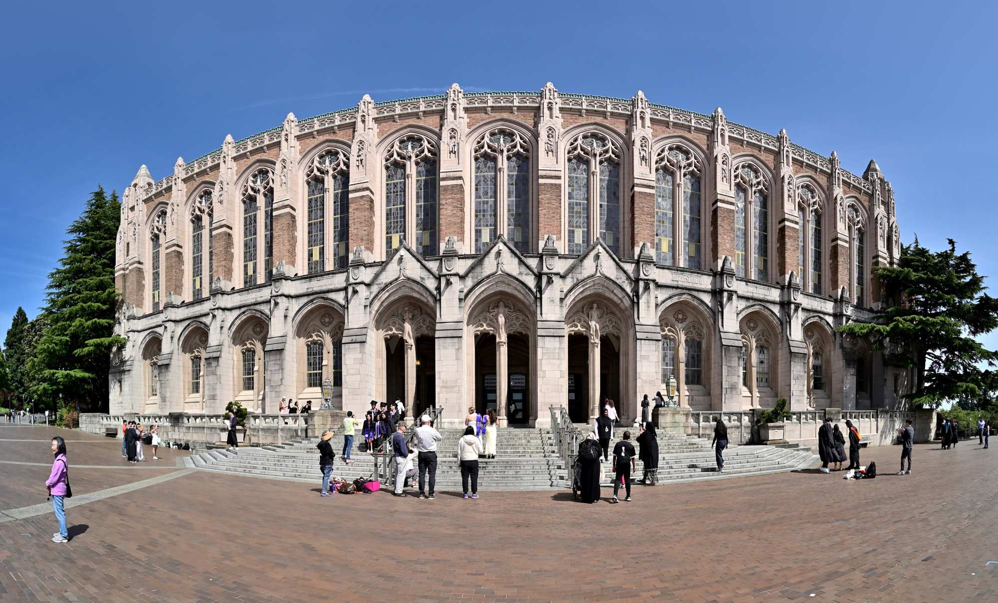
Rectilinear projection
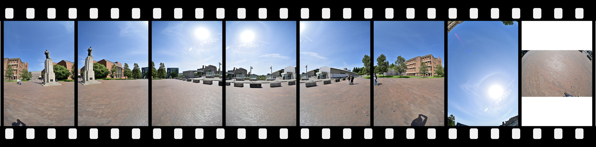
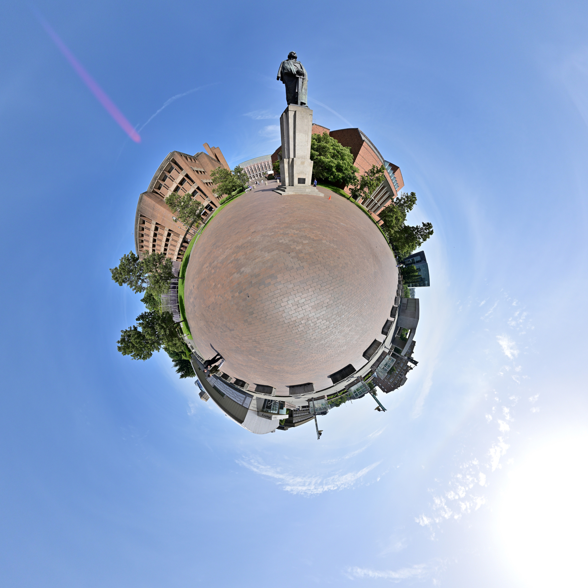
Statue of George Washington
The Statue of George Washington stands at the west end of Red Square, a longstanding symbol of the university's heritage and a familiar landmark for students and visitors alike.
Interactive Panorama Statue of George Washington
1/1000s f/5,6 ISO 100/21° f=7,5mm
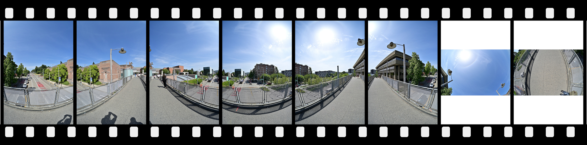
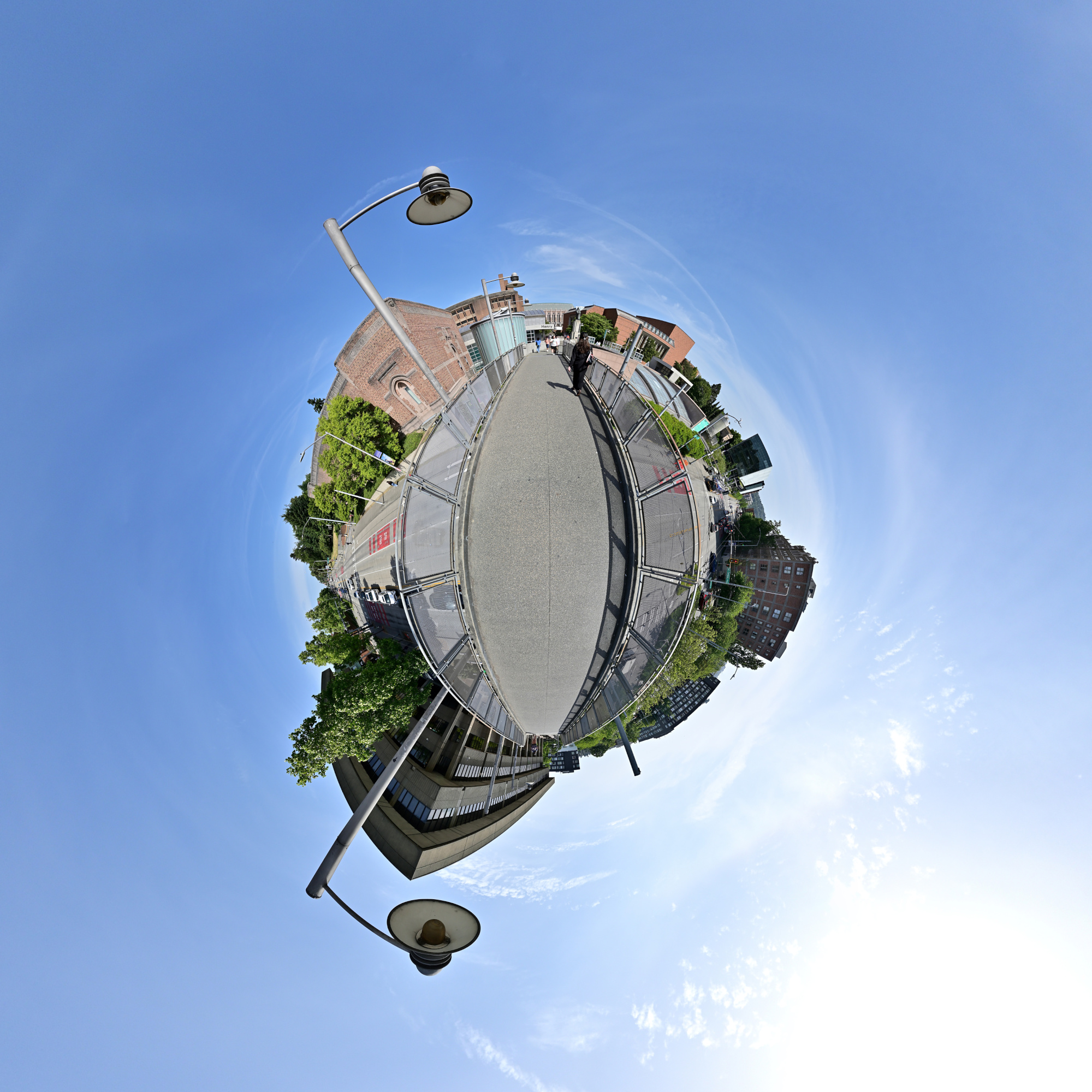
Bridge to Henry Art Gallery
The Suzzallo Library and the Statue of George Washington are partially visible in the background, adding a subtle sense of place and history to the scene.
Interactive Panorama Bridge to Henry Art Gallery
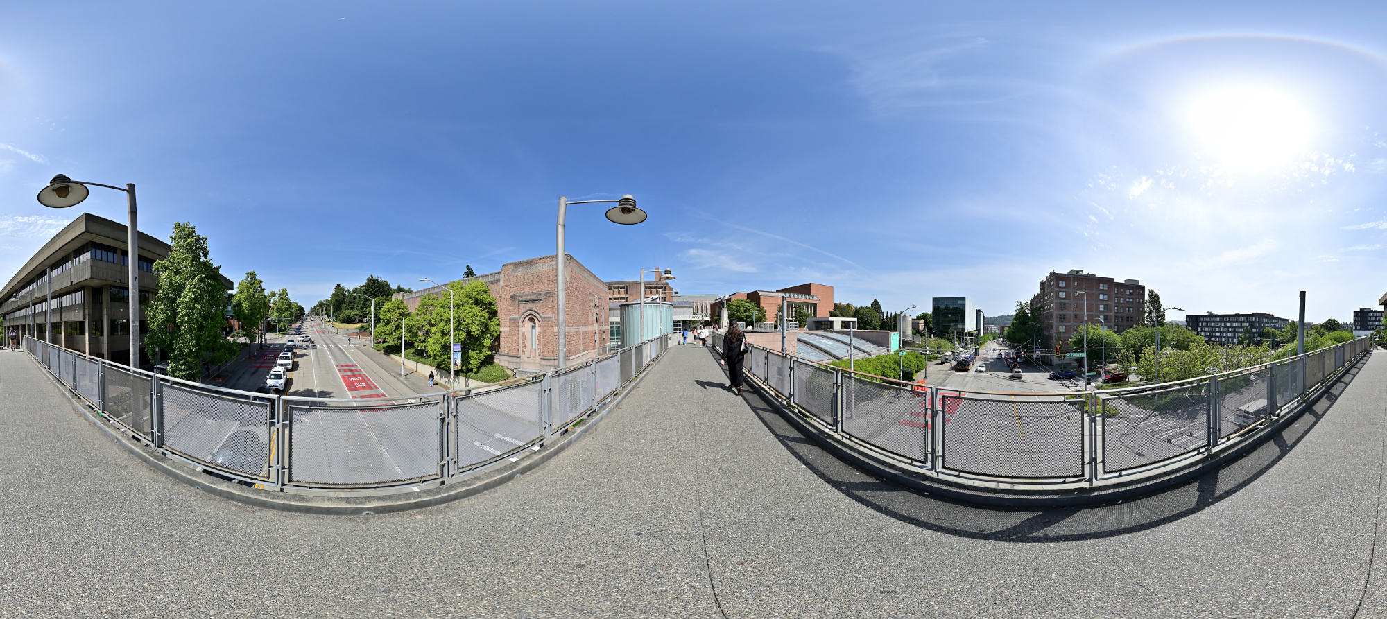
1/1000s f/5,6 ISO 100/21° f=7,5mm
The Quad
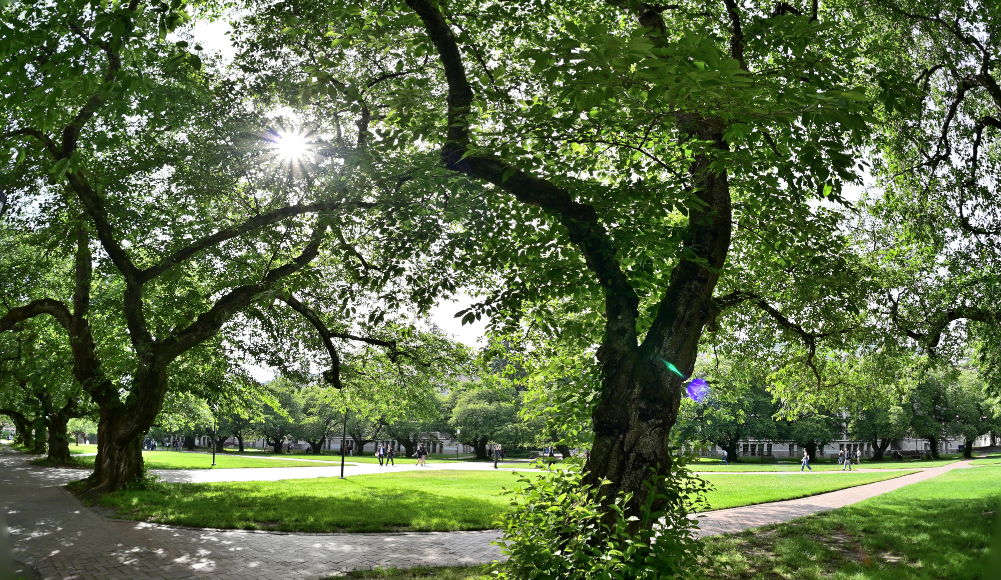
The Quad is a beloved green space on campus, especially known for its breathtaking cherry blossoms each spring and its peaceful, tree-lined walkways year-round.
Interactive Panorama The Quad 1
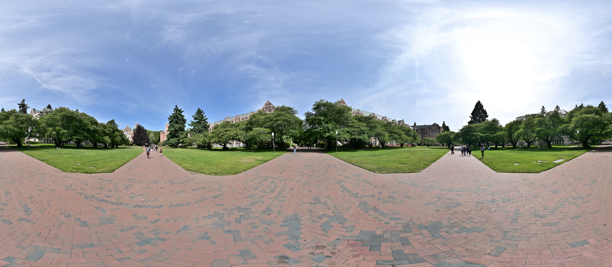
1/1000s f/5,6 ISO 100/21° f=7,5mm
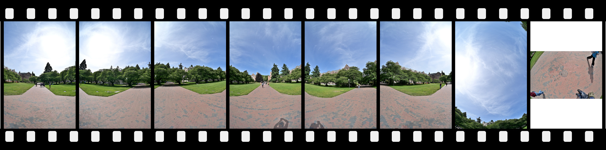
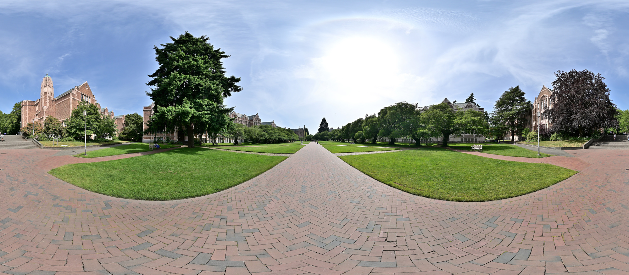
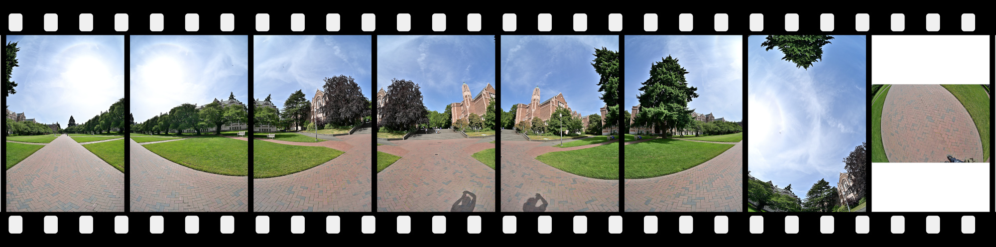
It is probably called The Quad because it was easier than explaining That Big Square Where Everyone Takes Cherry Blossom Pics. Besides, calling it The Quadrangle sounds like a spell Hermione would cast right before finals.
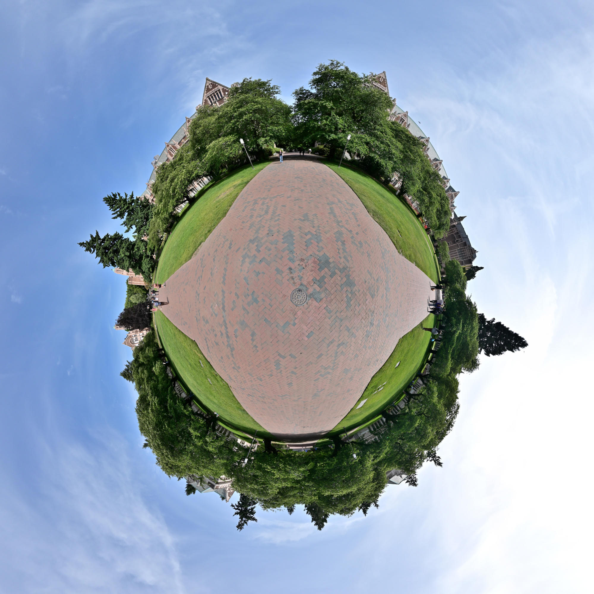
Interactive Panorama The Quad 2
1/1000s f/5,6 ISO 100/21° f=7,5mm
Airplane spotted cruising at tree level. Must be a scenic route.
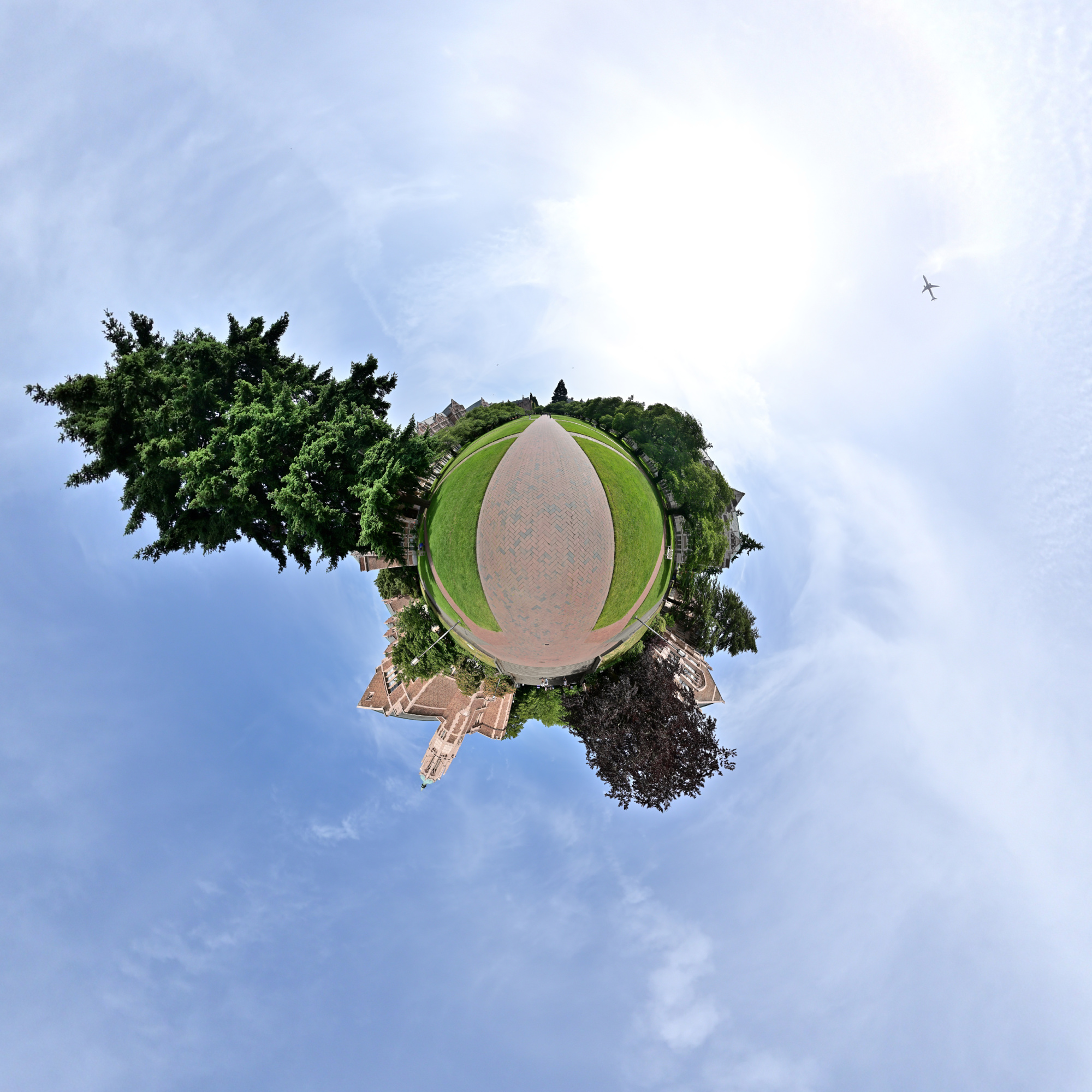
Smith Hall and Miller Hall
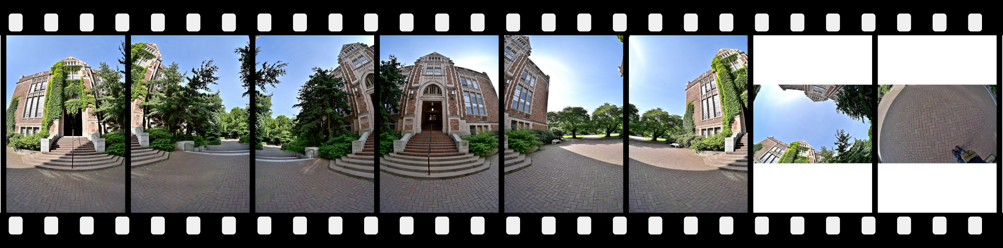
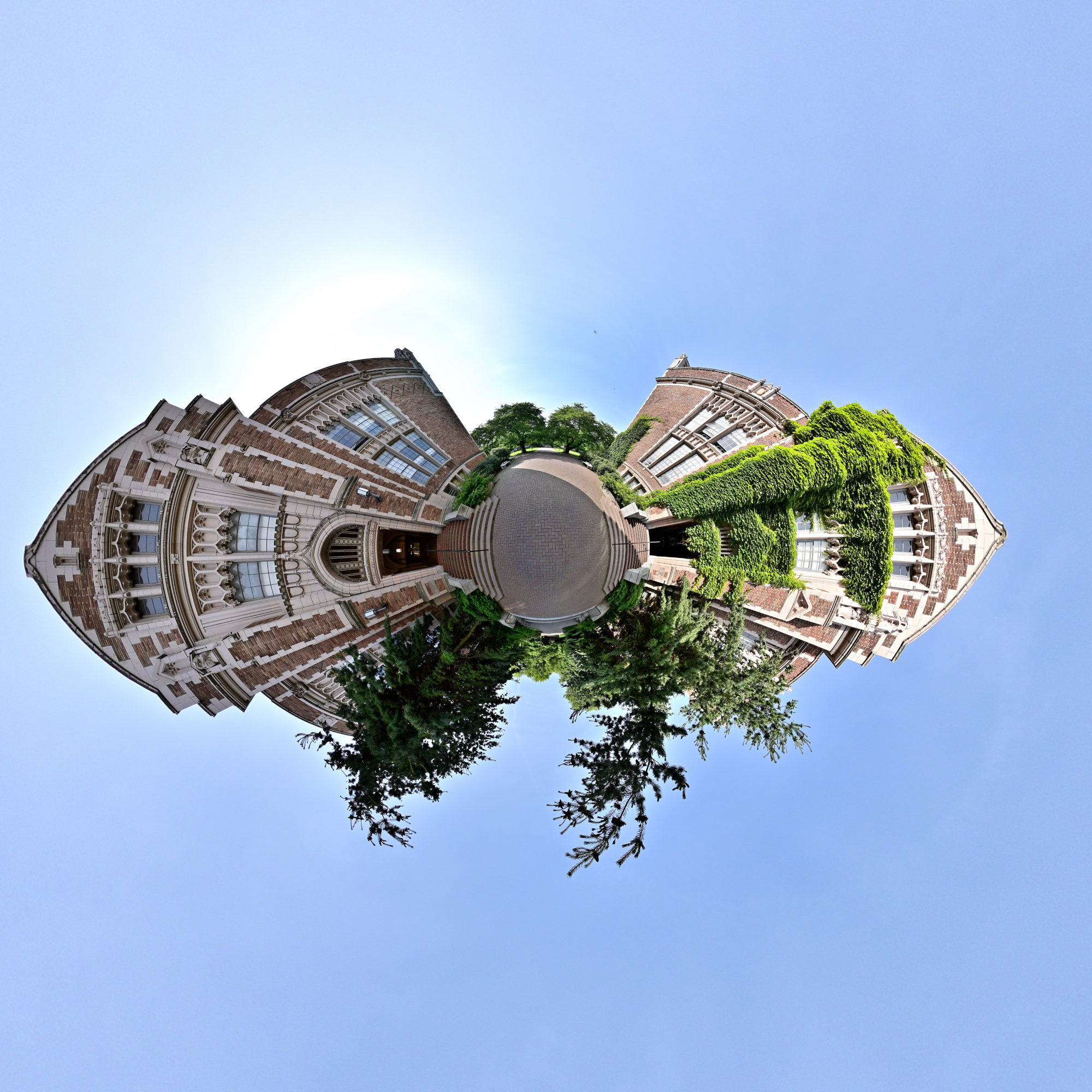
Smith Hall and Miller Hall stand side by side along the edge of the Quad, their classic collegiate architecture framing the space with a sense of tradition and academic purpose.
Interactive Panorama Smith Hall and Miller Hall
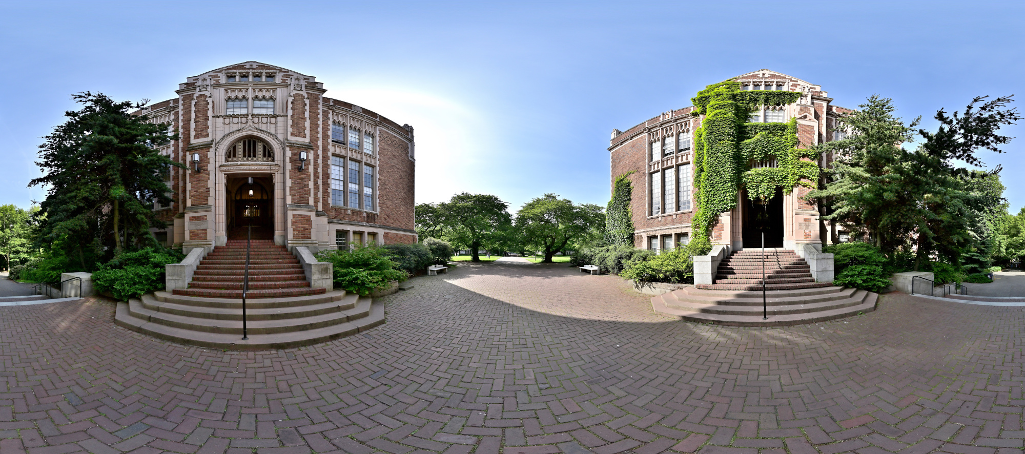
1/1000s f/5,6 ISO 100/21° f=7,5mm
Denny Hall
Denny Hall, the oldest building on campus, stands with timeless elegance, its Romanesque architecture marking the historic beginnings of the University of Washington.
Interactive Panorama Denny Hall
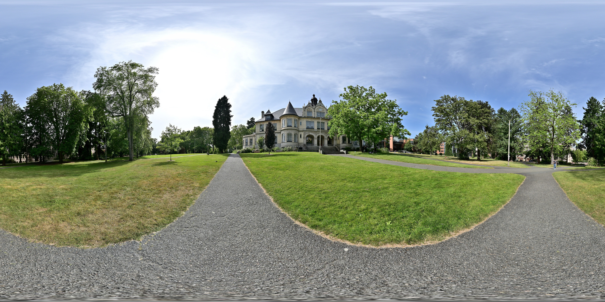
1/1000s f/5,6 ISO 100/21° f=7,5mm
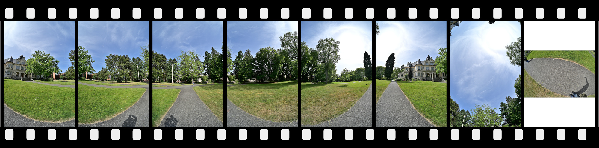
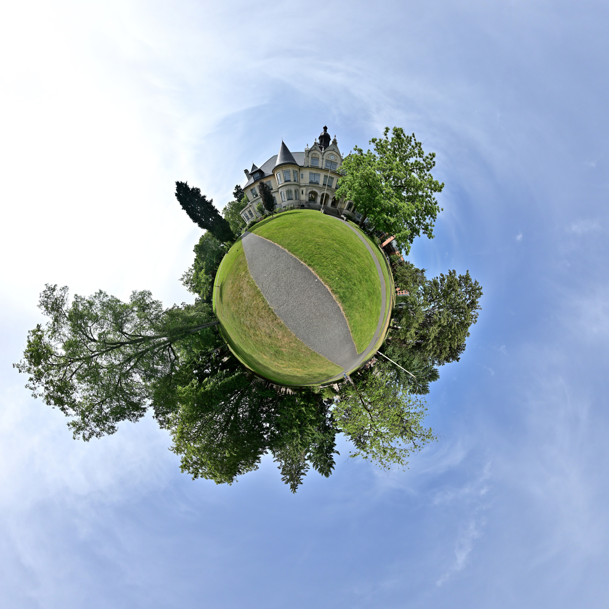
Rectilinear projection from the panorama
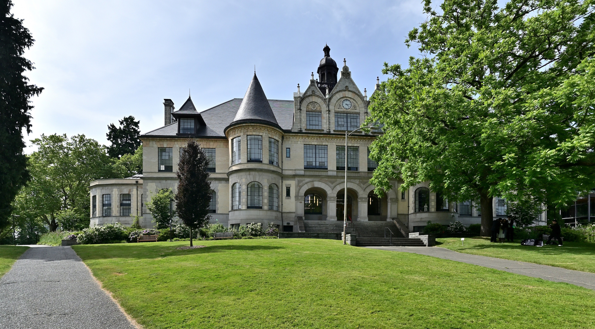
School of Art and School of Music
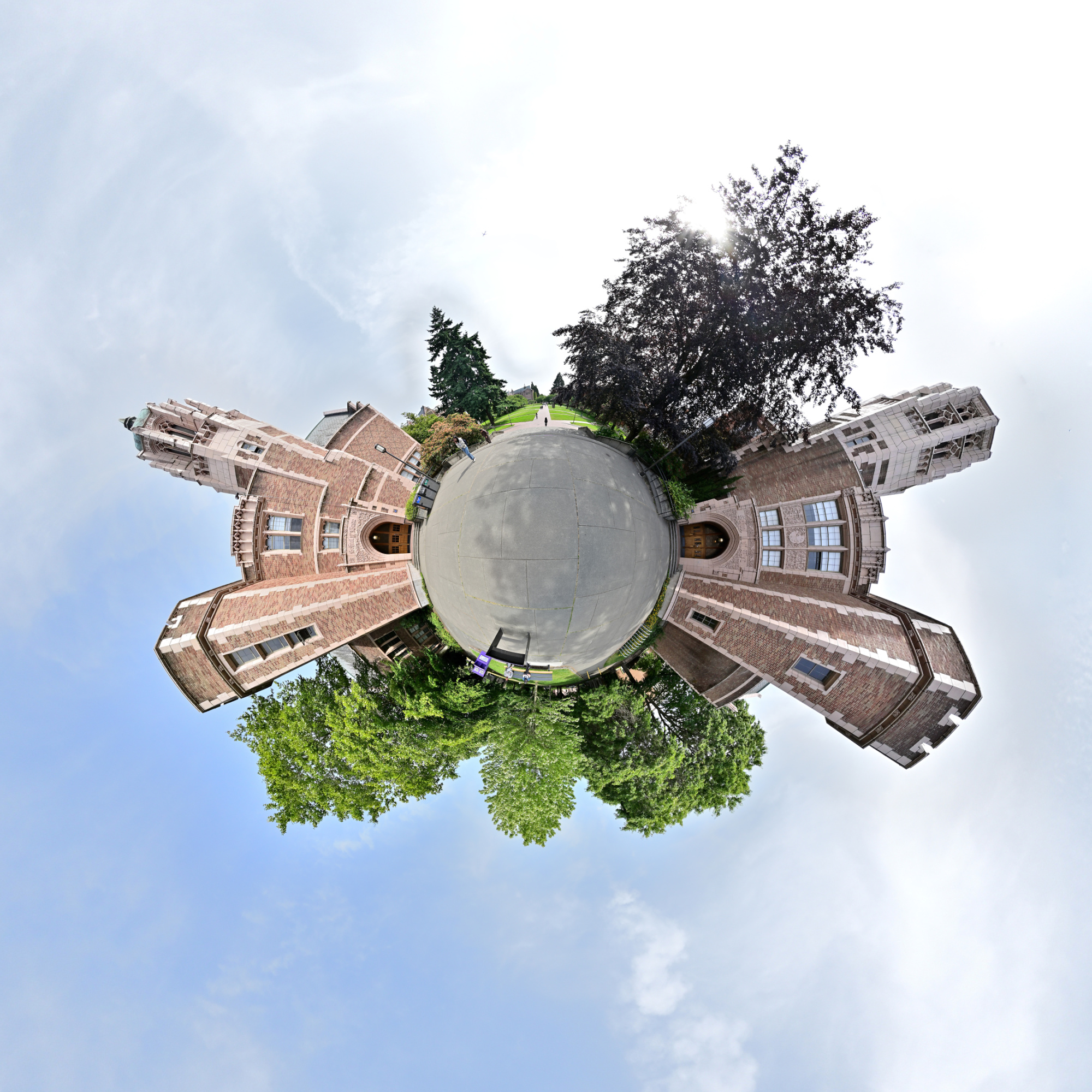
The School of Art and the School of Music sit near the edge of campus, where creativity and performance shape a vibrant cultural presence within the university's academic landscape.
Interactive Panorama School of Art and School of Music
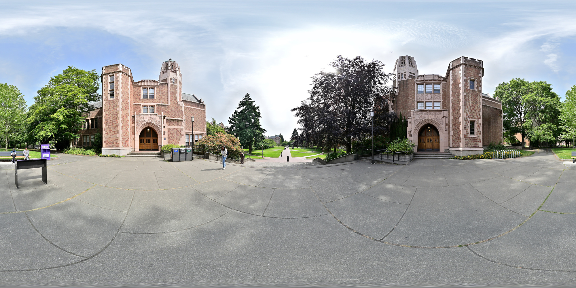
1/800s f/5,6 ISO 100/21° f=7,5mm
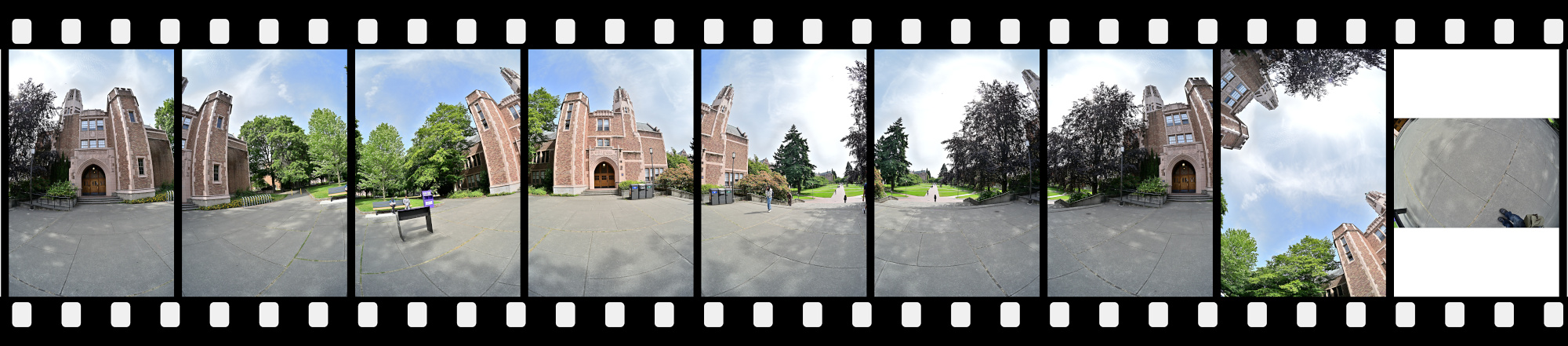
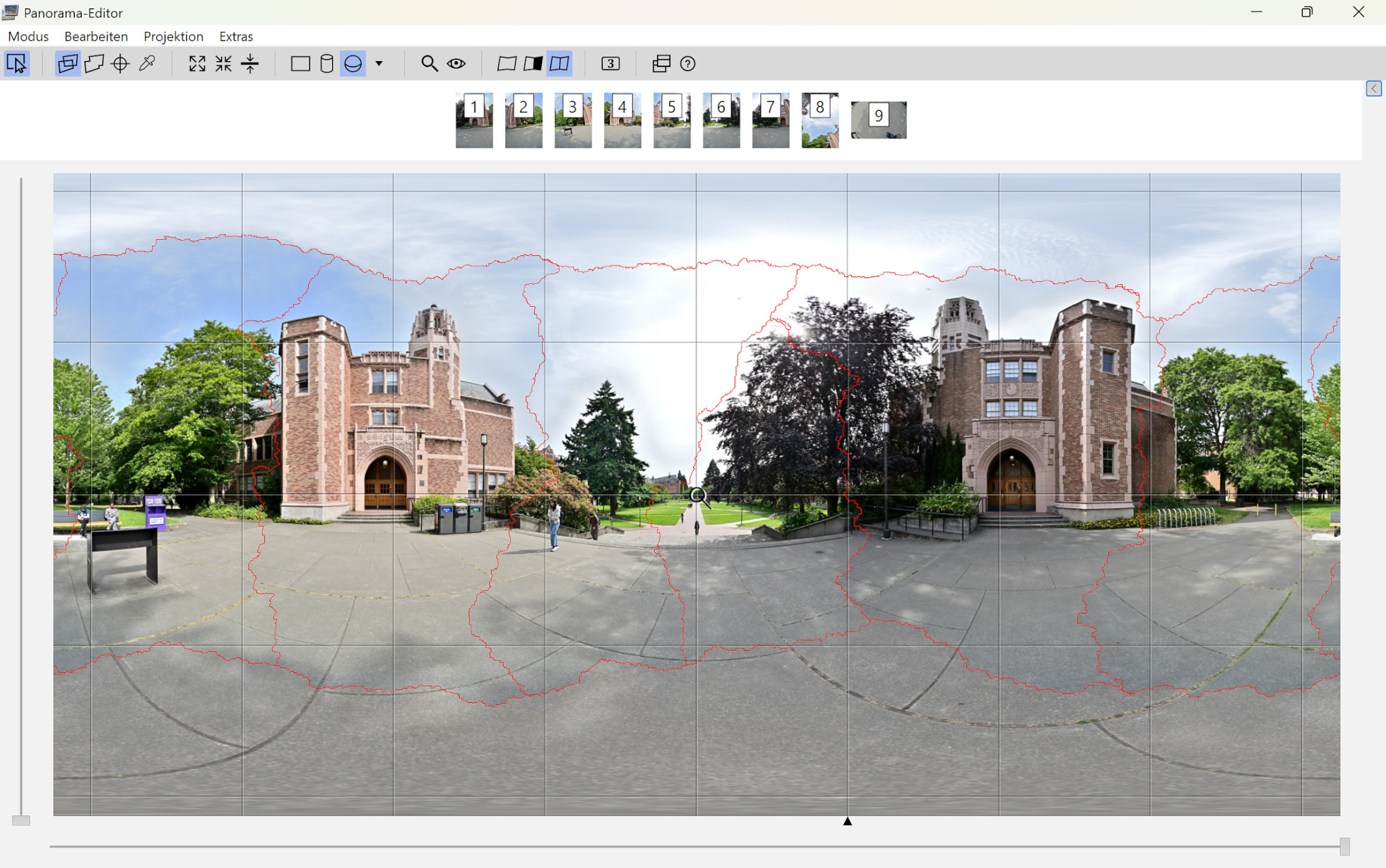
Avoiding Stitching Artifacts with Masking
In panoramic imaging, particularly in architectural or urban settings, a common source of stitching artifacts occurs when prominent structures such as building façades are captured in separate frames rather than as a whole within a single exposure. This segmented capture approach increases the risk of misalignment during the stitching process, often resulting in visible seam lines that disrupt the continuity and geometry of key architectural features.
In this panorama, the two building façades are each captured in separate frames but have been (green) masked to ensure that no seam line intersects the primary architectural elements, preserving structural integrity in the final composite.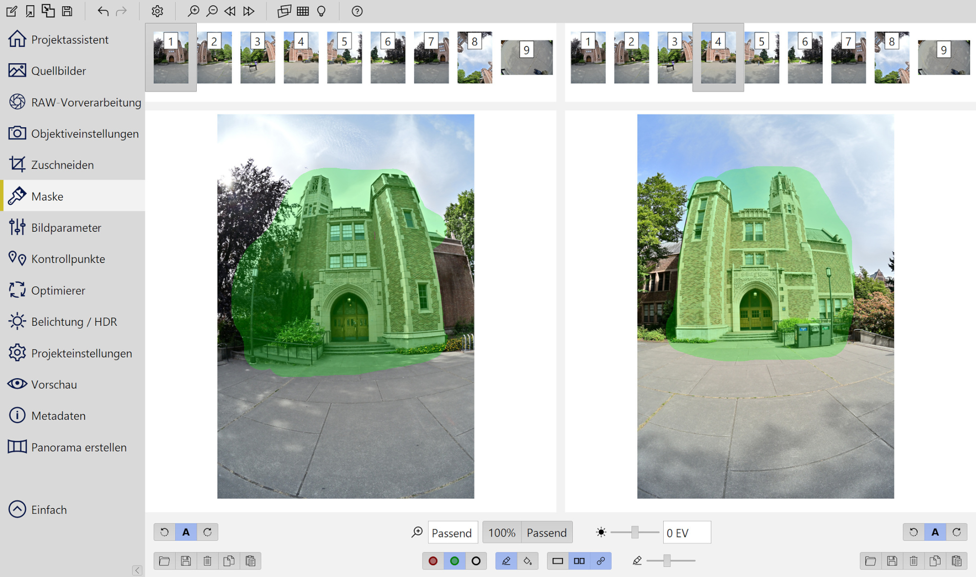
School of Art
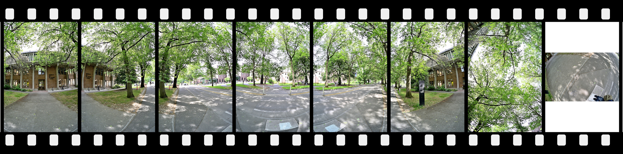
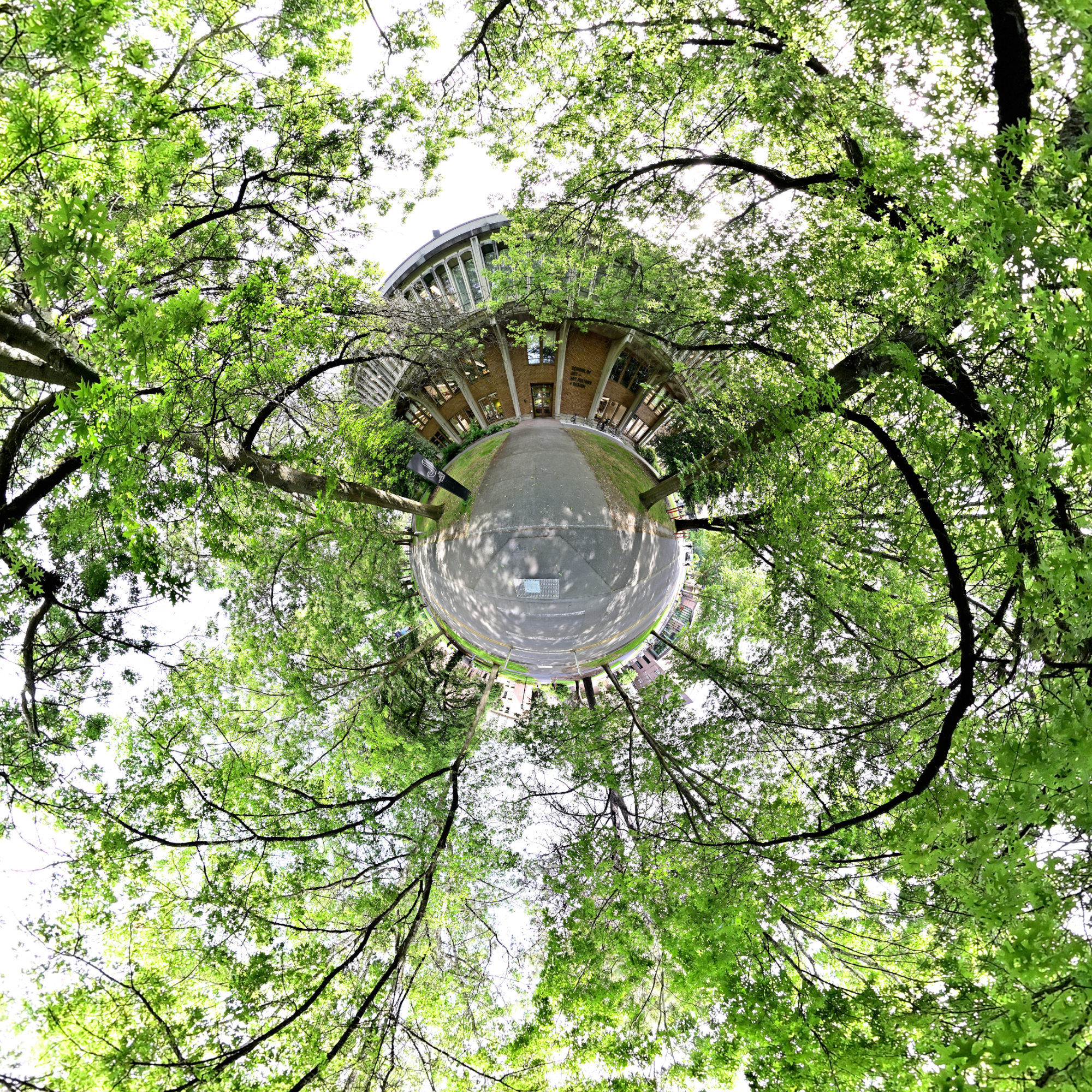
The School of Art combines creativity and academic depth, giving students a place to study classic forms like drawing, painting, and sculpture.
Interactive Panorama School of Art
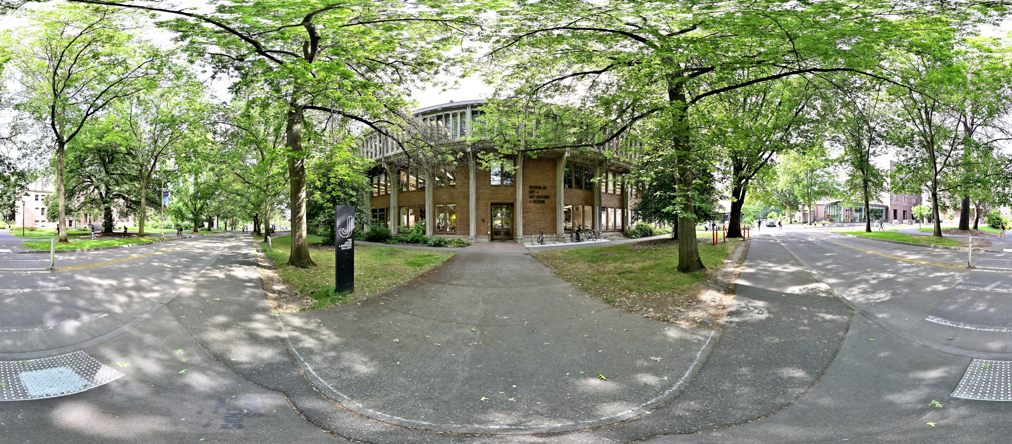
1/200s f/5,6 ISO 250/25° f=7,5mm
Communications Building
The Communications Building houses the university's journalism and communication programs, offering students a dynamic space to explore media, storytelling, and public discourse.
Interactive Panorama Communications Building
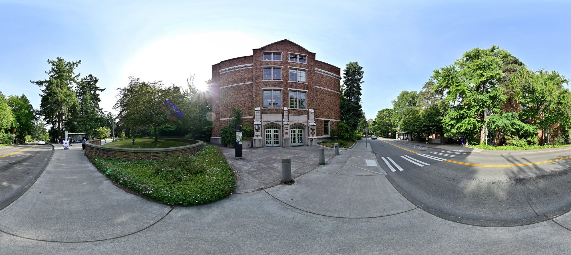
1/160s f/5,6 ISO 100/21° f=7,5mm
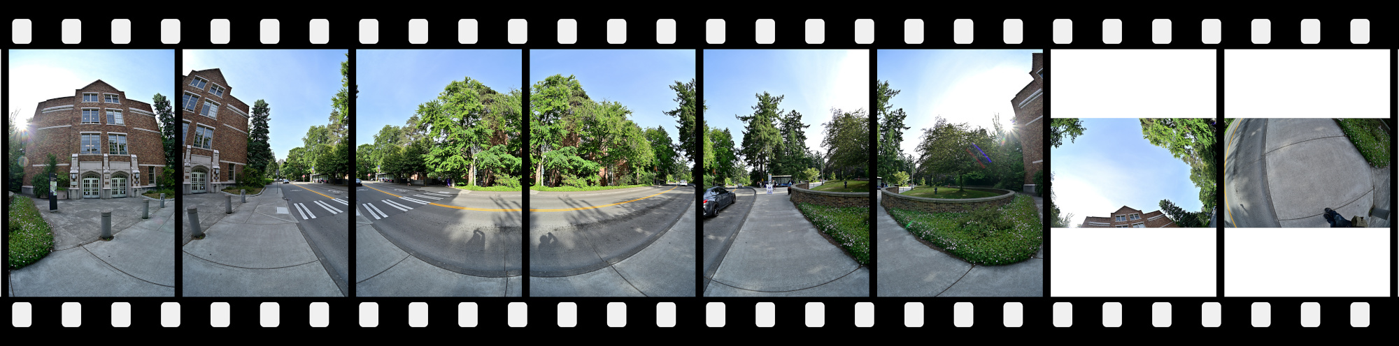
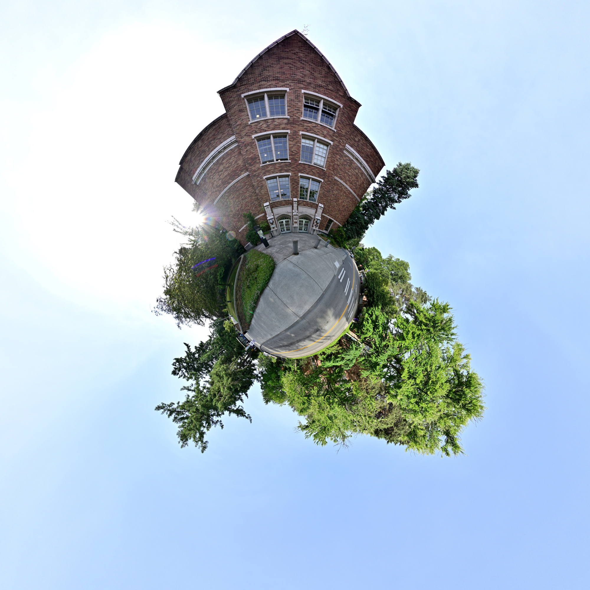
Drumheller Fountain
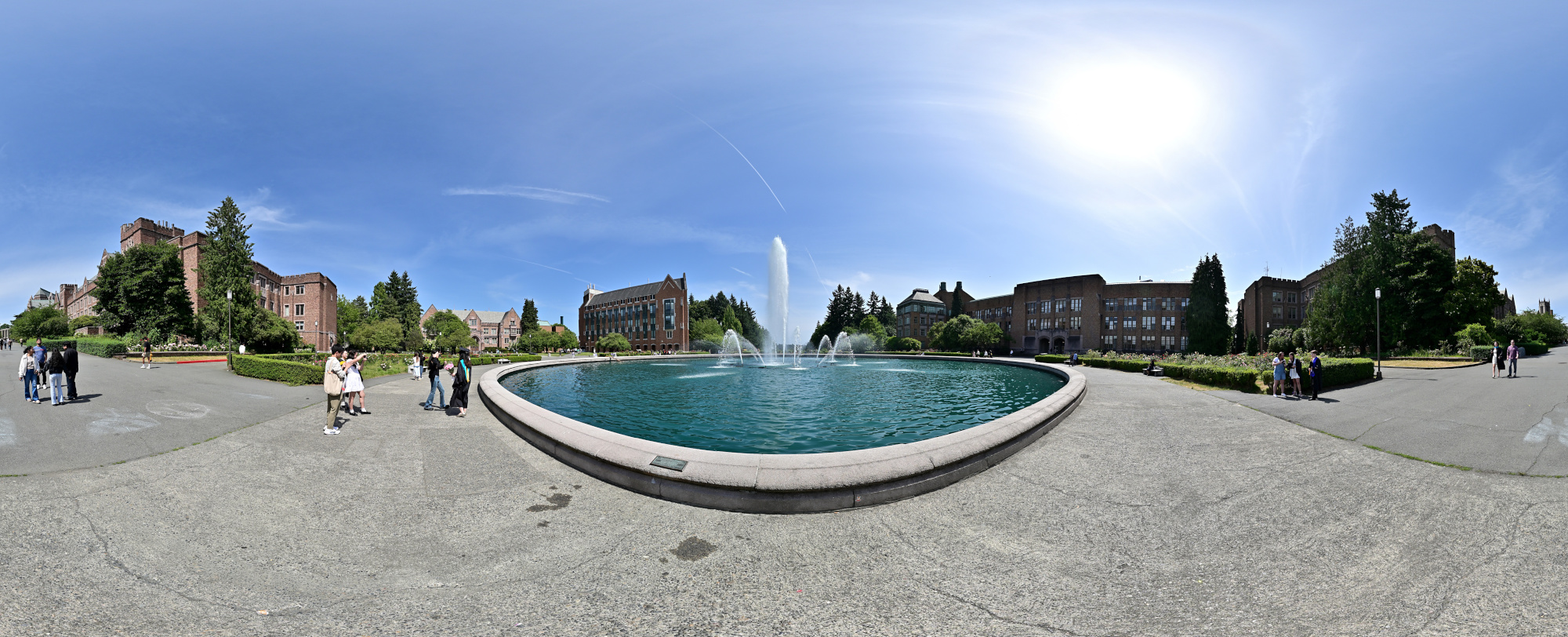
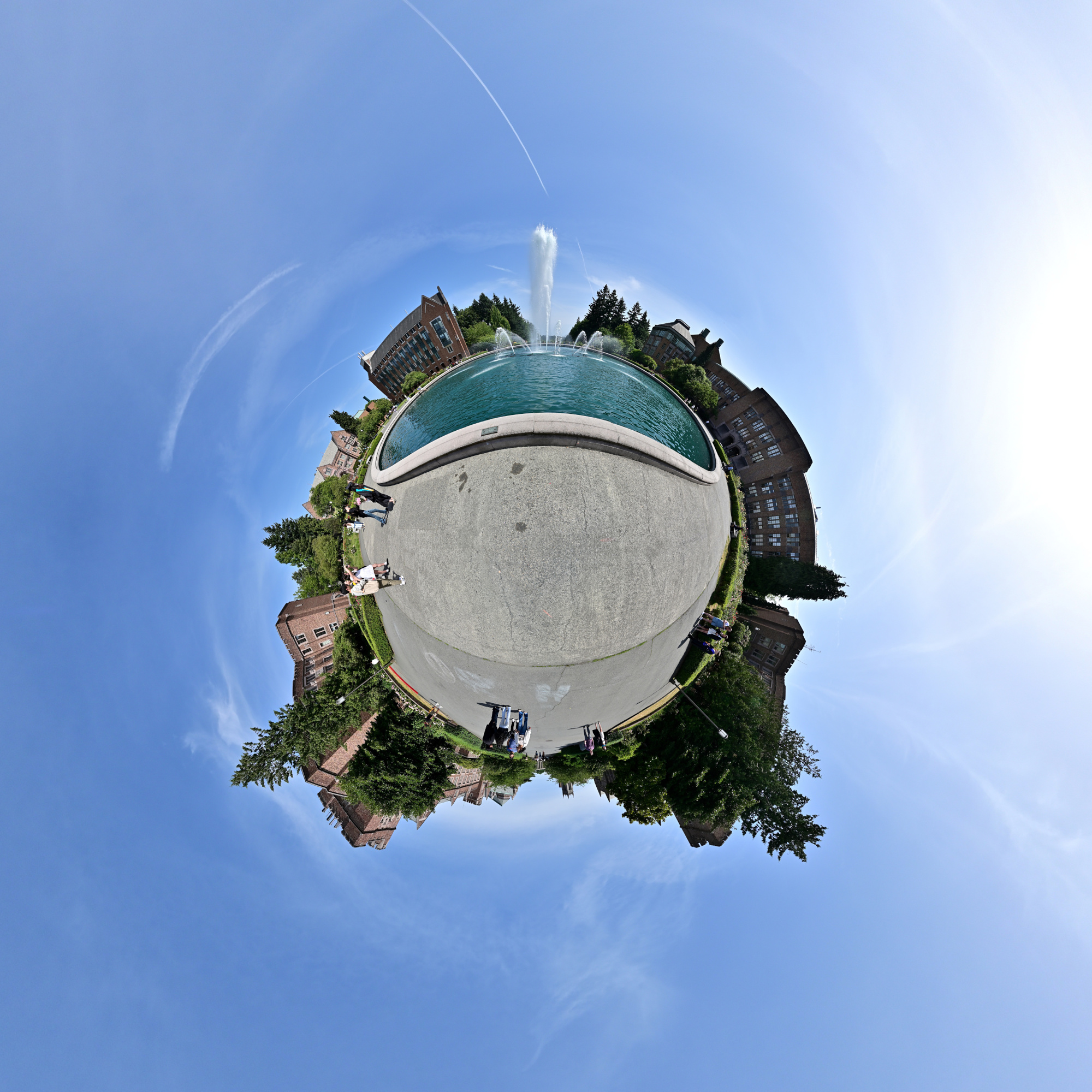
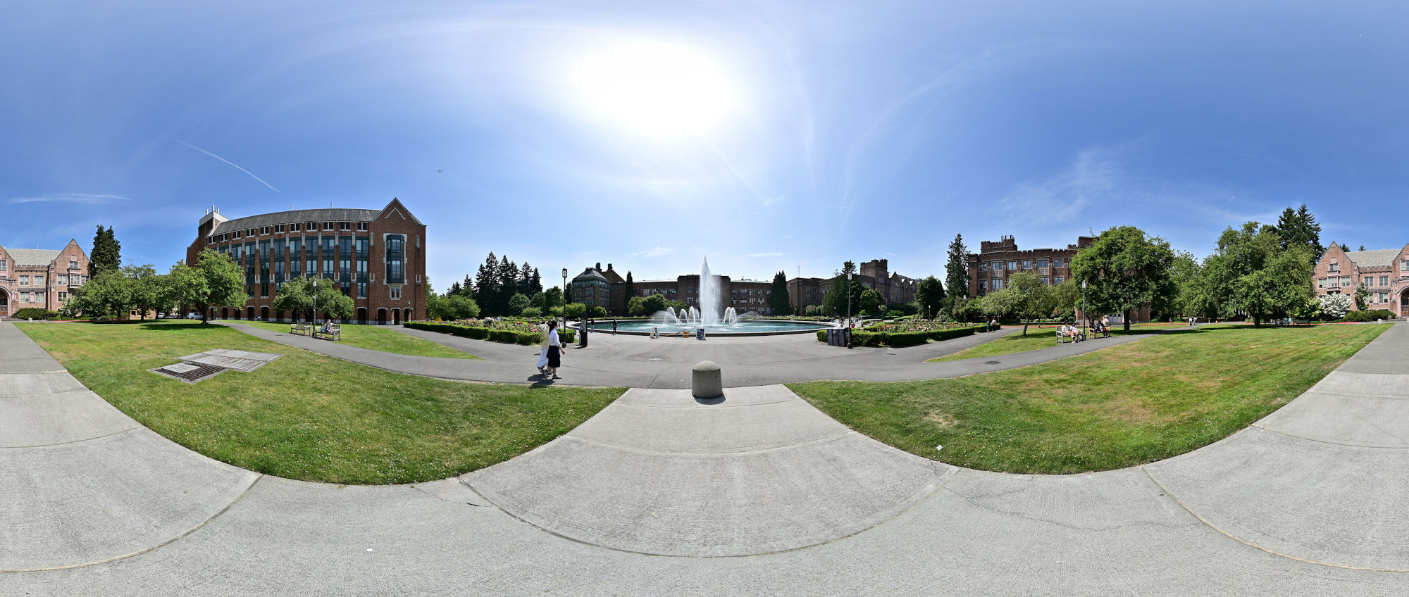
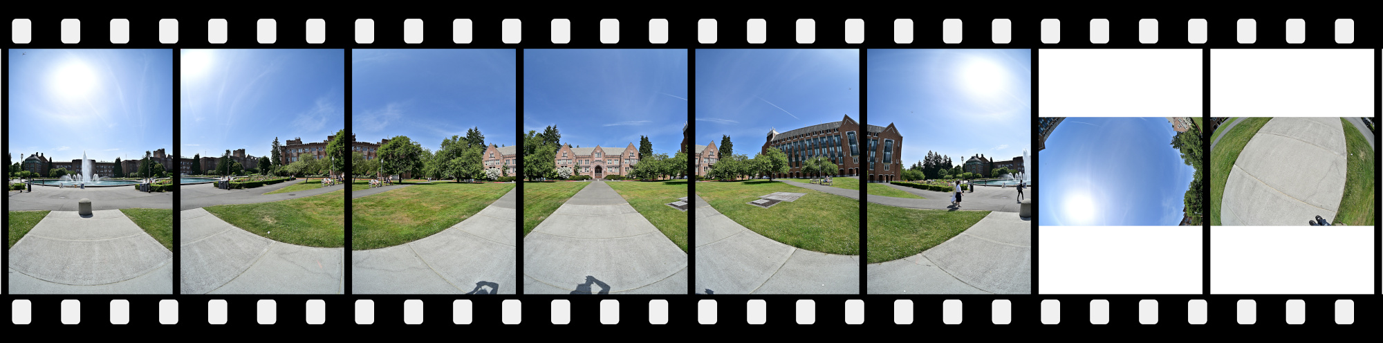
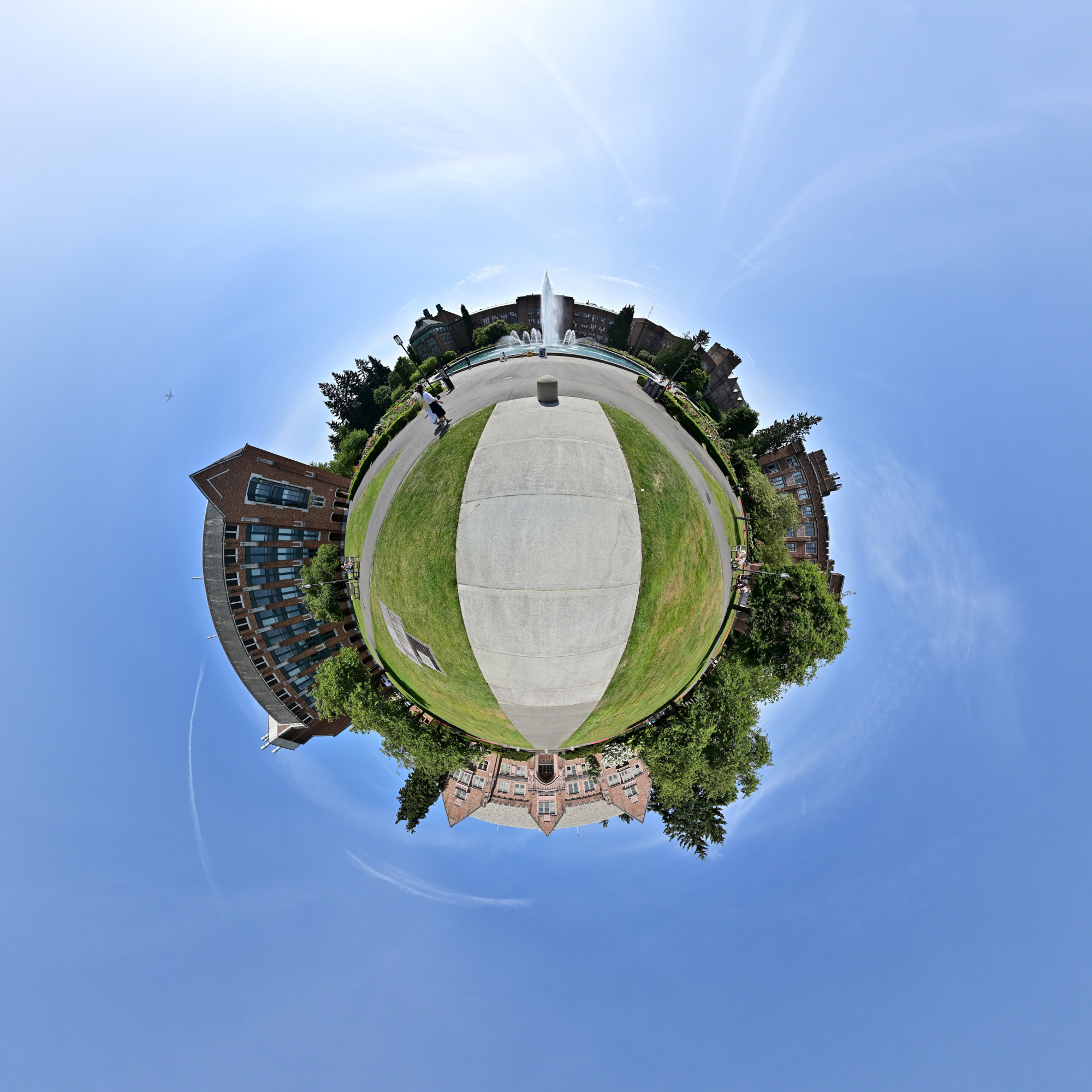
Drumheller Fountain sits at the center of Rainier Vista, offering a stunning reflection of Mount Rainier on clear days and serving as a scenic focal point surrounded by some of the campus's most iconic buildings.
1/1000s f/5,6 ISO 100/21° f=7,5mm
Equirectangular projection
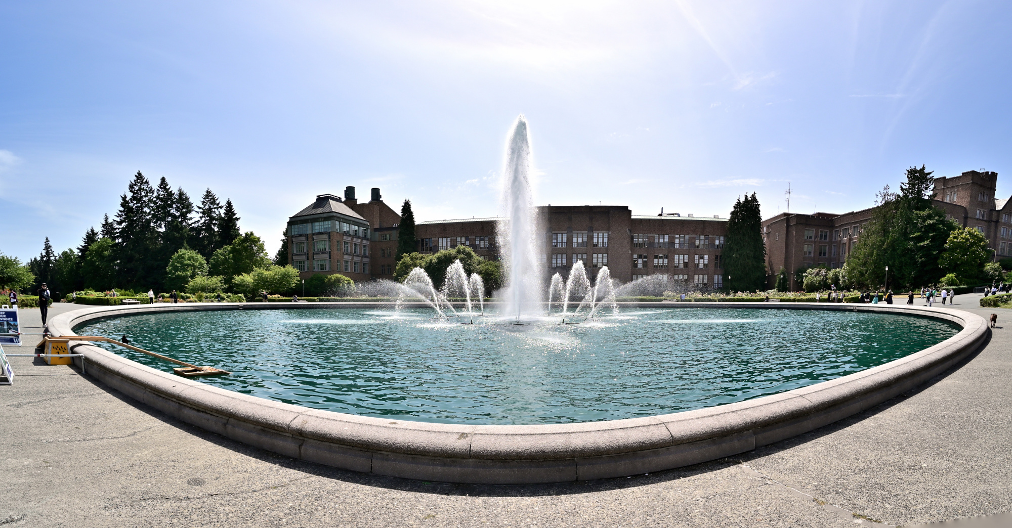
Stereographic projection
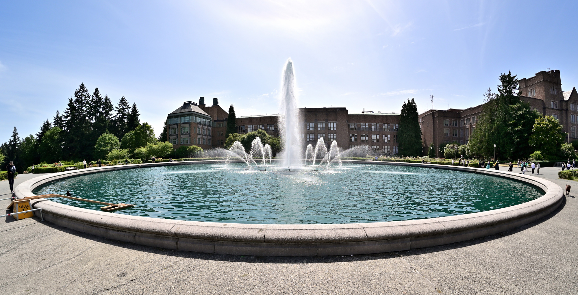
Interactive Panorama Drumheller Fountain 1
1/1000s f/5,6 ISO 100/21° f=7,5mm
Interactive Panorama Drumheller Fountain 2
1/1000s f/5,6 ISO 100/21° f=7,5mm
Rainier Vista
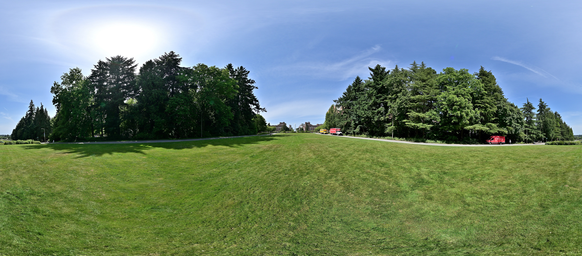
Rainier Vista is a grand, tree-lined axis that stretches from Red Square to Drumheller Fountain, offering a sightline to Mount Rainier on clear days and serving as one of the campus's most iconic visual corridors.
Interactive Panorama Rainier Vista
1/1000s f/5,6 ISO 100/21° f=7,5mm
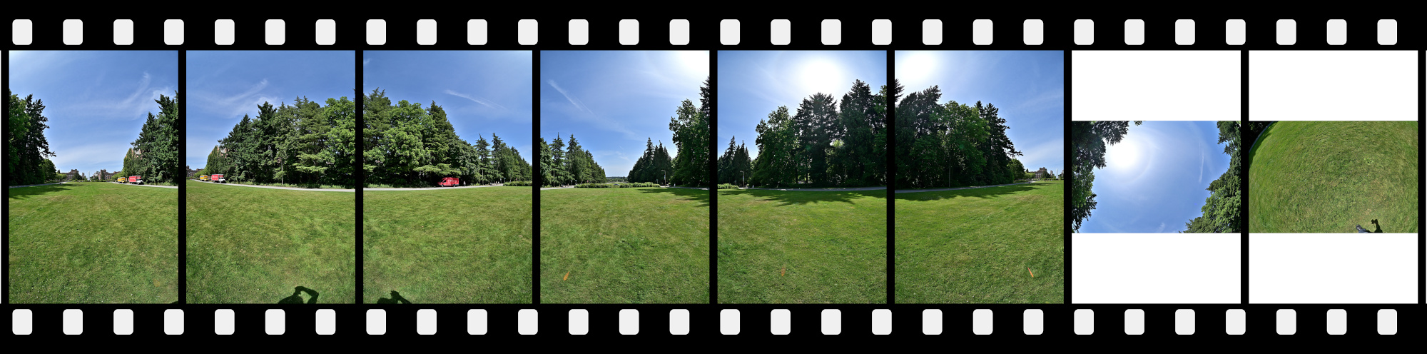
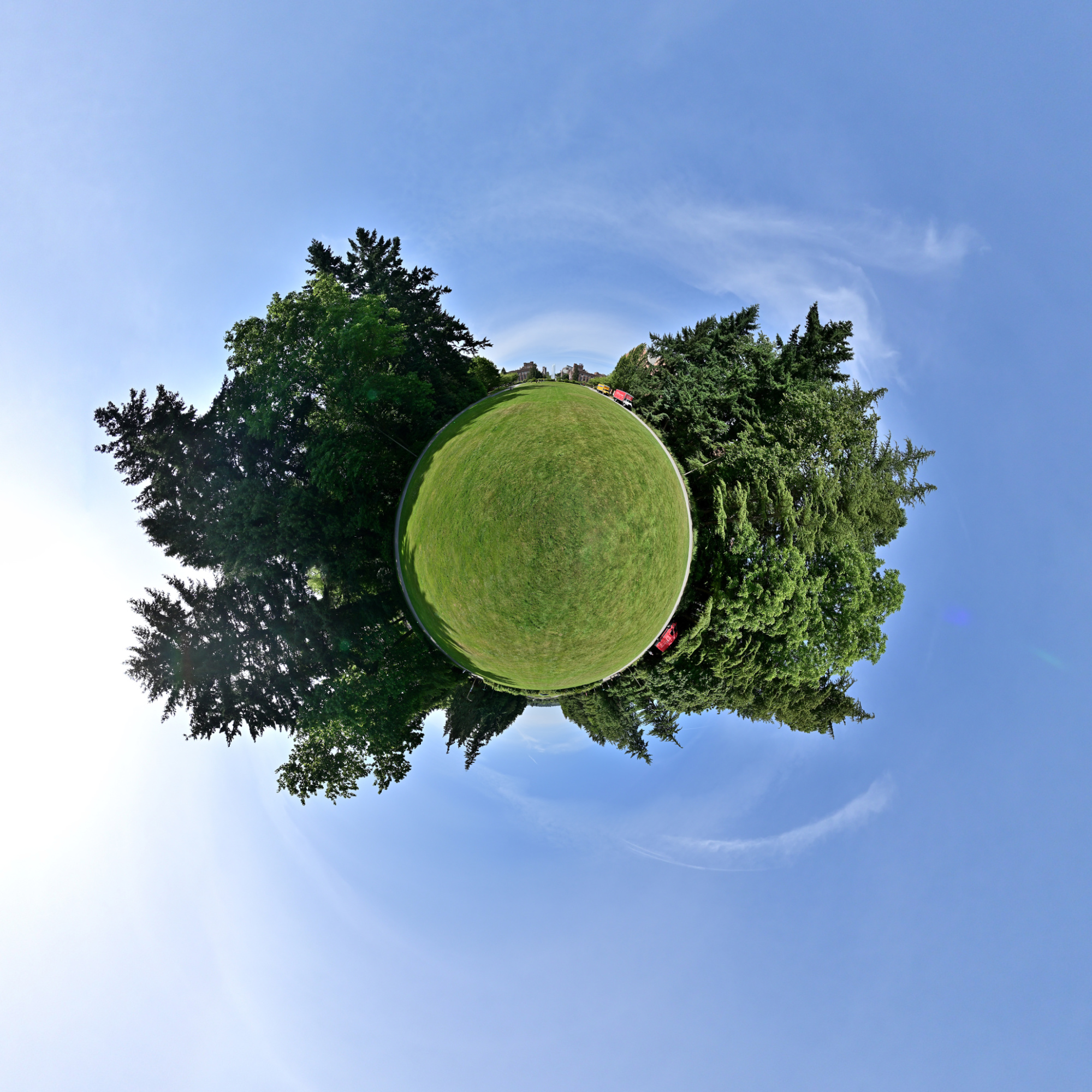
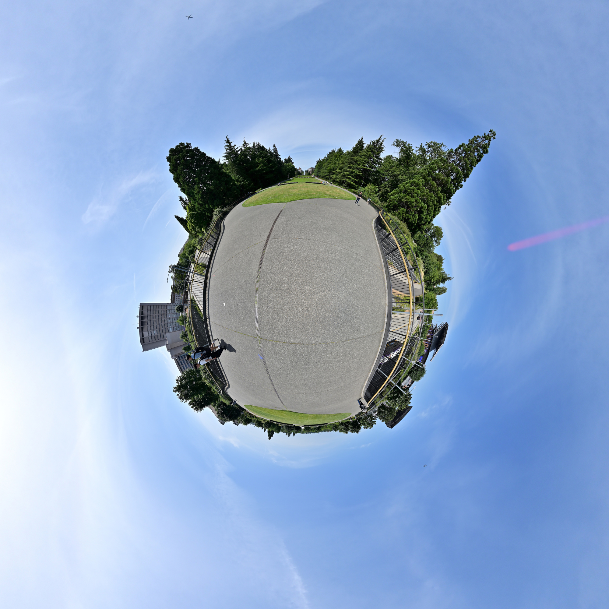
Rainier Vista Northeast Bridge
The Rainier Vista Northeast Bridge spans a key pedestrian route near the end of the vista, offering elevated views of Drumheller Fountain and the surrounding landscape while connecting key parts of the campus with ease and elegance.
Interactive Panorama Rainier Vista Northeast Bridge
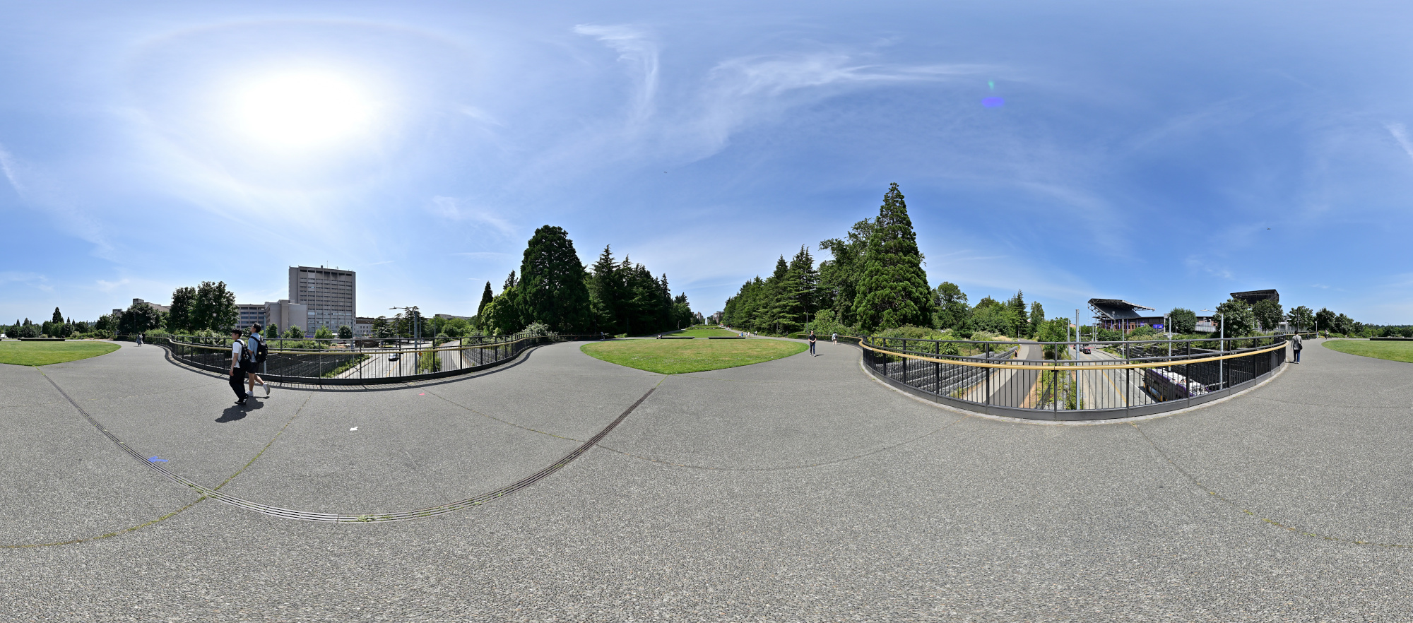
1/1000s f/5,6 ISO 100/21° f=7,5mm
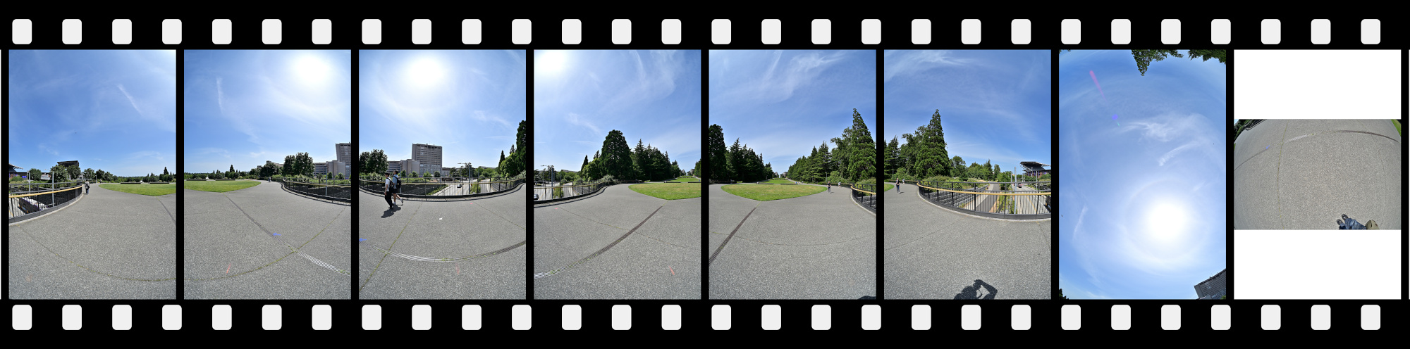
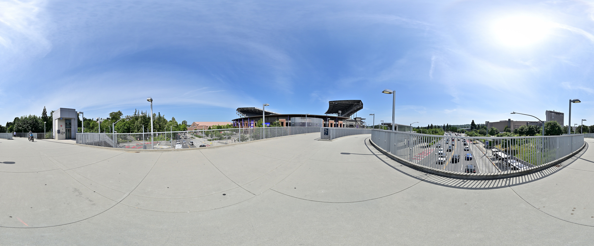
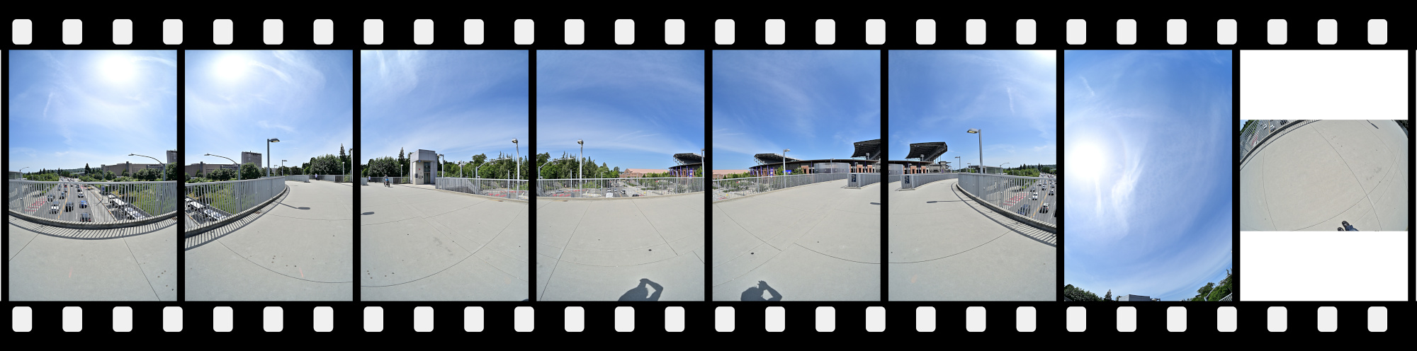
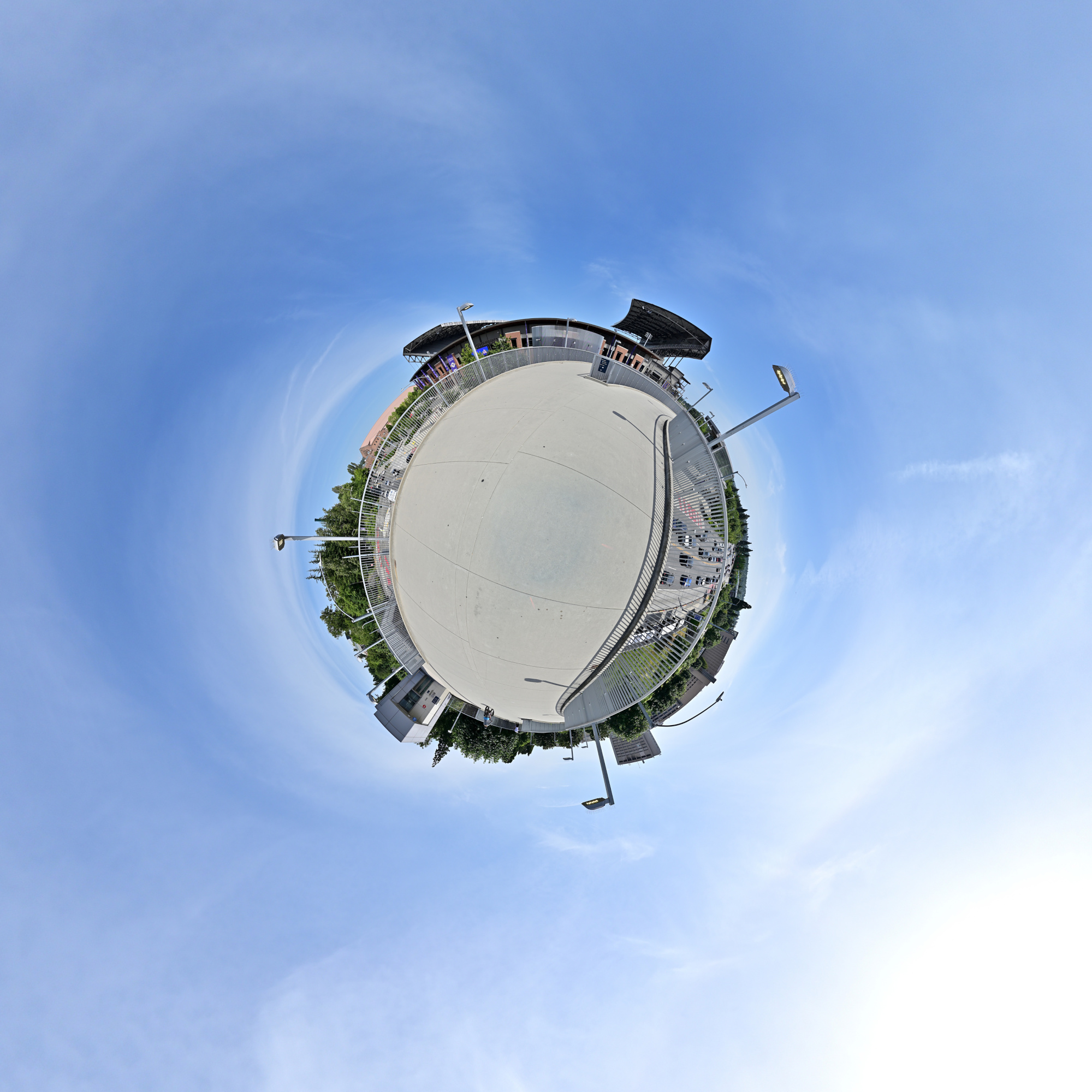
Bridge to Husky Stadium
The bridge to Husky Stadium provides a vital pedestrian link between the main campus and the athletic complex, guiding fans and students alike across Montlake Boulevard with sweeping views of Union Bay and the stadium's iconic silhouette.
Interactive Panorama Bridge to Husky Stadium
1/1000s f/5,6 ISO 100/21° f=7,5mm
UW Panorama Map1
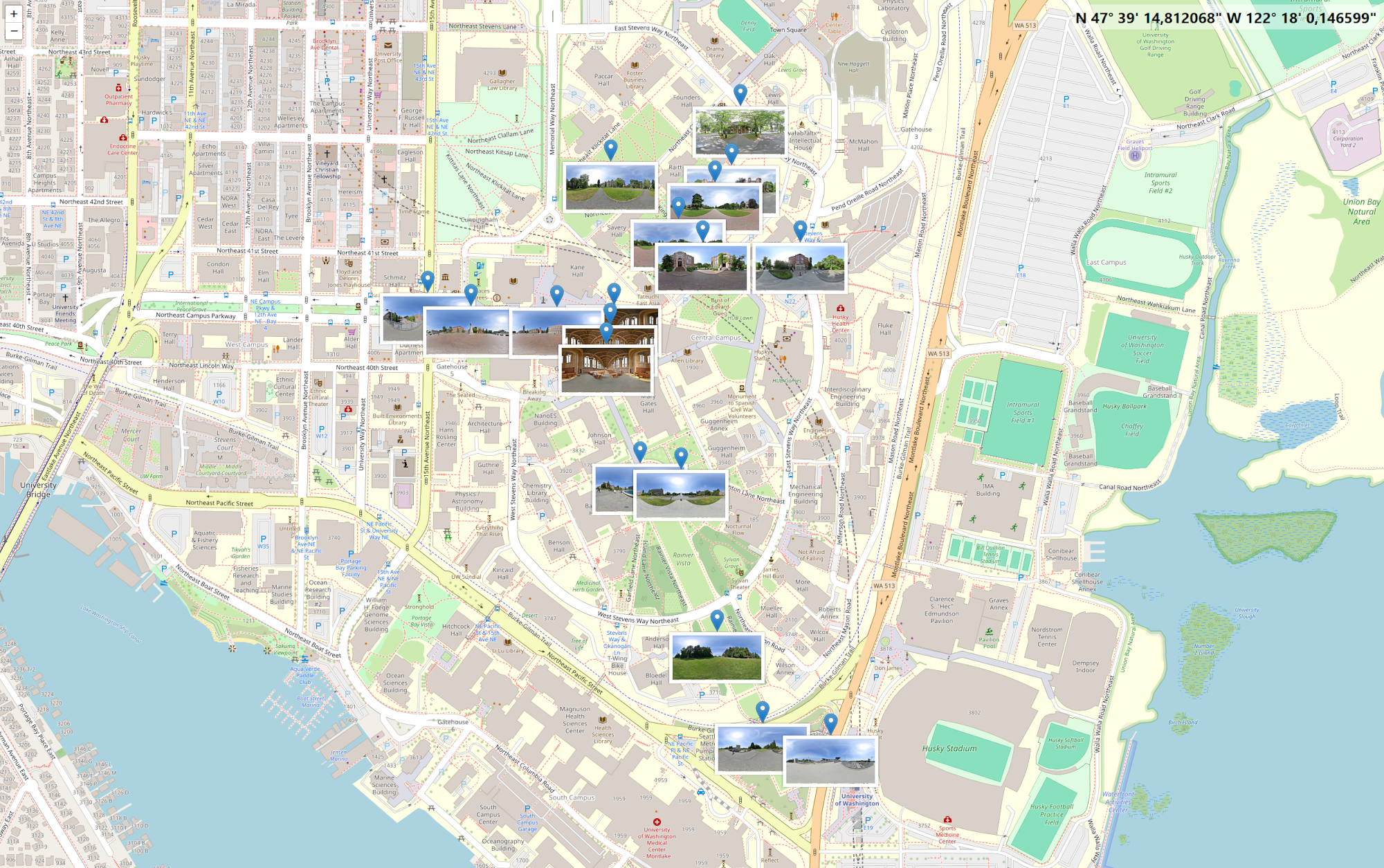
And here, the panoramic journey ends for today
1/200s f/5,6 ISO 100/21° f=7,5mm
-
Lake Washington Bridges
At the Evergreen Point Floating Bridge
1/500s f/8 ISO 100/21° 16-50mm f/2,8 VR f=50mm/75mm
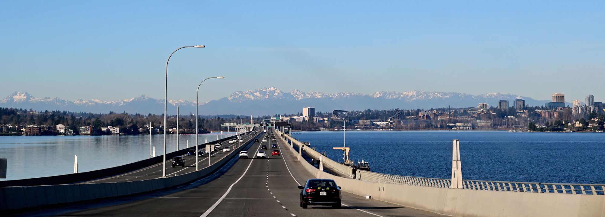
Viewpoint 1
Interactive Panorama 520 Bridge 1

1/1000s f/5,6 ISO 100/21° f=7,5mm


Equirectangular projection of the information sign.
1/1000s f/5,6 ISO 100/21° f=7,5mm

Rectilinear projection of the information sign.

Viewpoint 2
Within a minute, the weather shifted from sunny with clouds to overcast and windy.
Panorama Timestamps:Time Weather Action 09:45:18 ⛅ 09:45:21 ⛅ 09:45:24 ⛅ 09:45:27 ⛅ move the bicycle 09:45:45 ☁️ again move the bicycle 09:46:10 ☁️ 09:46:12 ☁️ 09:46:15 ☁️ remove the camera from the nodal adapter2 and prepare for the nadir3 09:46:27 ☁️ The forecast was ⛅ until noon. This is what the actual weather turned out to be:


The panorama vividly captures the swift weather change, with the shadow gradually fading in the final pictures, creating an eerie emptiness.
And the Cybertruck nearly obscured Mount Rainier.Interactive Panorama 520 Bridge 2

1/1000s f/5,6 ISO 100/21° f=7,5mm


1/1000s f/5,6 ISO 100/21° f=7,5mm

Viewpoint 3
One week later, and the sun finally showed up 🌞
After last week's abrupt stop due to clouds and wind, I finally got the chance to pick up where I left off. Today could not have been more different: clear skies, warm light, and perfect conditions for capturing the panoramas I had planned.
Interactive Panorama 520 Bridge 3

1/1000s f/5,6 ISO 100/21° f=7,5mm


1/1000s f/5,6 ISO 100/21° f=7,5mm

Viewpoint 4
Interactive Panorama 520 Bridge 4

1/1000s f/5,6 ISO 100/21° f=7,5mm


1/1000s f/5,6 ISO 100/21° f=7,5mm
The elders say the sky speaks to those who listen. I stood on sacred ground, raised my hand to the wind, and the eagle came. Gliding from the sunlit heights, answering the silent call of the tribe. In that moment, the spirit of the sky revealed itself, and I captured its flight in a single frame.

Viewpoint 5
Interactive Panorama 520 Bridge 5

1/1000s f/5,6 ISO 100/21° f=7,5mm


Viewpoint 6
Interactive Panorama 520 Bridge 6

1/1000s f/5,6 ISO 100/21° f=7,5mm

If not for the field of view limitation, this bridge sign would be poking out of your screen right now.
Viewpoint Foster Island
At the Washington Park Arboretum

1/1000s f/5,6 ISO 100/21° f=7,5mm

Viewpoint Marsh Island

1/1000s f/5,6 ISO 100/21° f=7,5mm


1/1000s f/5,6 ISO 100/21° f=7,5mm
Viewpoint Bike and Pedestrian Bridge
Interactive Panorama Bike and Pedestrian Bridge

1/1000s f/5,6 ISO 100/21° f=7,5mm


At the Montlake Bridge: A Century of Connection
The Montlake Bridge, a historic drawbridge opened in June 1925, connects the University District with the Montlake neighborhood across the Montlake Cut.
Interactive Panorama Montlake Bridge

1/1000s f/5,6 ISO 100/21° f=7,5mm


In moving traffic, it is always possible that vehicles are only partially captured. To prevent this, multiple shots were taken, which were also used to reduce the number of vehicles on the road. In this case, not all images are fully connected to each other via control points. Only the original images are.
The duplicate images are then linked only via control points. This makes everything much simpler.
View from the other side of the canal.

1/1000s f/5,6 ISO 100/21° f=7,5mm

GPS map
To create the GPS map in cPicture, select the pictures with GPS data and click the map icon in the toolbar.
To get all panoramic images with GPS, enter the following in the search box at the upper right:360x180.jpg %gps=1This search performs two functions:
360x180.jpgmatches all panorama images with filenames ending in this pattern. Adjust this part if a different naming convention is used%gps=1filters for images that contain GPS metadata
After the search completes, select all images from the search result to display on the map.

-
For landscape-style panoramas, a nodal adapter on a tripod is not necessary. However, with close objects like the guard rail, a nodal adapter is recommended. ↩
-
In panorama photography, the nadir is the point directly below the camera. PTGui's viewpoint correction makes handheld nadir pictures easy to stitch. ↩
-
Meydenbauer Bay Park
Sunny Sunday afternoon at the Meydenbauer Bay Park.
Interactive Panorama Meydenbauer Bay Park 1

1/1000s f/5,6 ISO 100/21° f=7,5mm


Interactive Panorama Meydenbauer Bay Park 2

1/1000s f/5,6 ISO 100/21° f=7,5mm


cPicture map


1/1000s f/5,6 ISO 100/21° f=7,5mm


This panorama was captured from 7 vantage points on the observation platform.
Almost like The Tower Panorama.
A total of eight images were used to create the panorama. One additional shot (#4) was taken moments later to capture a boat that had just entered the scene. Since this image was slightly out of alignment, it was registered to the first frame using control points and selectively masked to seamlessly integrate the boat into the final composition.

1/1000s f/5,6 ISO 100/21° f=7,5mm


-
Bellevue Downtown Park
Sunny Sunday afternoon at the Bellevue Downtown Park.
Interactive Panorama Bellevue Downtown Park 1

1/800s f/5,6 ISO 100/21° f=7,5mm


Interactive Panorama Bellevue Downtown Park 2

1/800s f/5,6 ISO 100/21° f=7,5mm


Lake 1
1/400s f/7,1 ISO 100/21° 16-50mm f/3,5-6,3 VR f=16mm/24mm


Lake 2
1/1000s f/5,6 ISO 100/21° f=7,5mm


Lake 3
1/400s f/7,1 ISO 100/21° 16-50mm f/3,5-6,3 VR f=16mm/24mm


Downtown View
1/400s f/7,1 ISO 100/21° 16-50mm f/3,5-6,3 VR f=24mm/36mm


Duck's corner
Fisheye lens captures the corner of the waterfall, a favorite haunt for 🦆
1/800s f/5,6 ISO 100/21° f=7,5mm

Different projections:
[Cylindric] [Equirectangular] [Mercator] [Rectangular] [Vedutsimo]
-
Seattle Overlook Walk
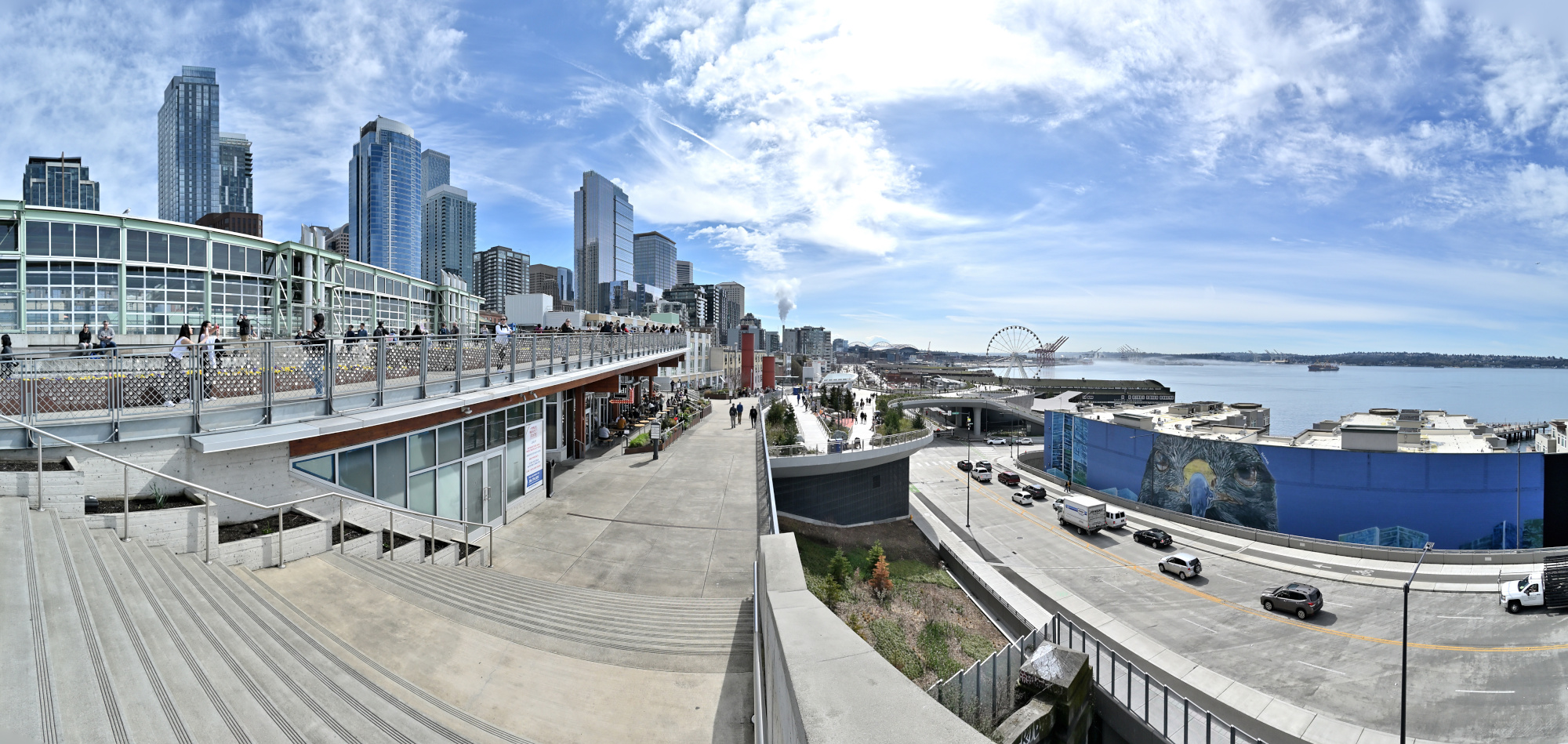
Last year, the waterfront project was still under construction (see Seattle Waterfront Park Project).
Now, it has been completed and is open to the public as the Seattle Overlook Walk, connecting the iconic Public Market with the Aquarium.View from the Pike Place Market:
1/1250s f/5,6 ISO 100/21° f=7,5mm
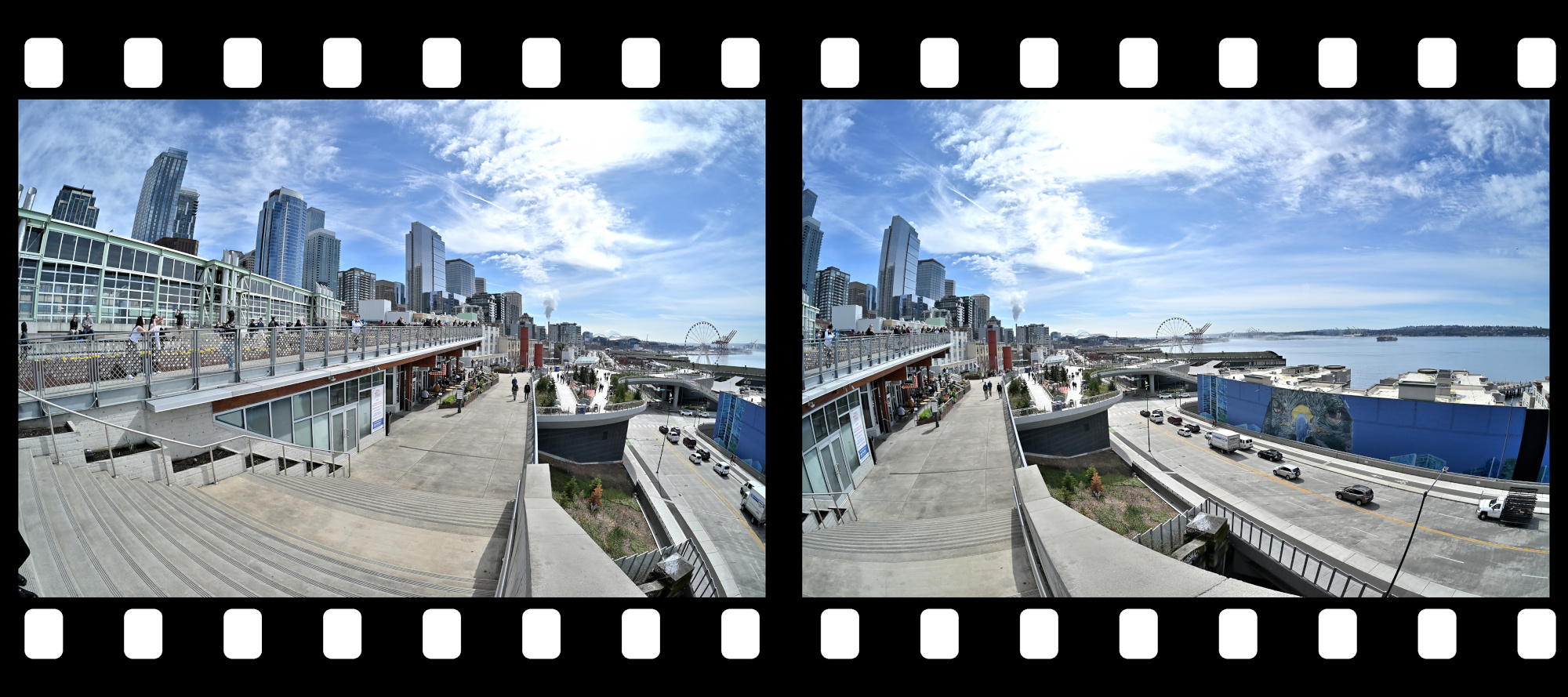
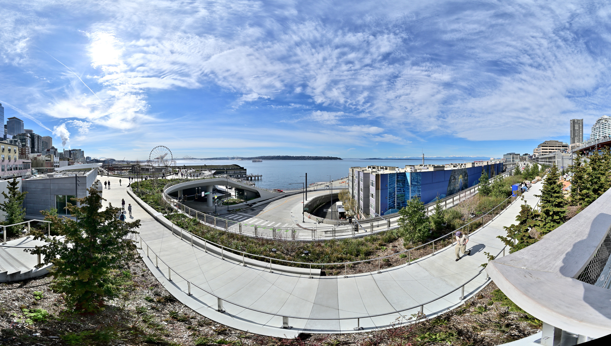
1/1250s f/5,6 ISO 100/21° f=7,5mm
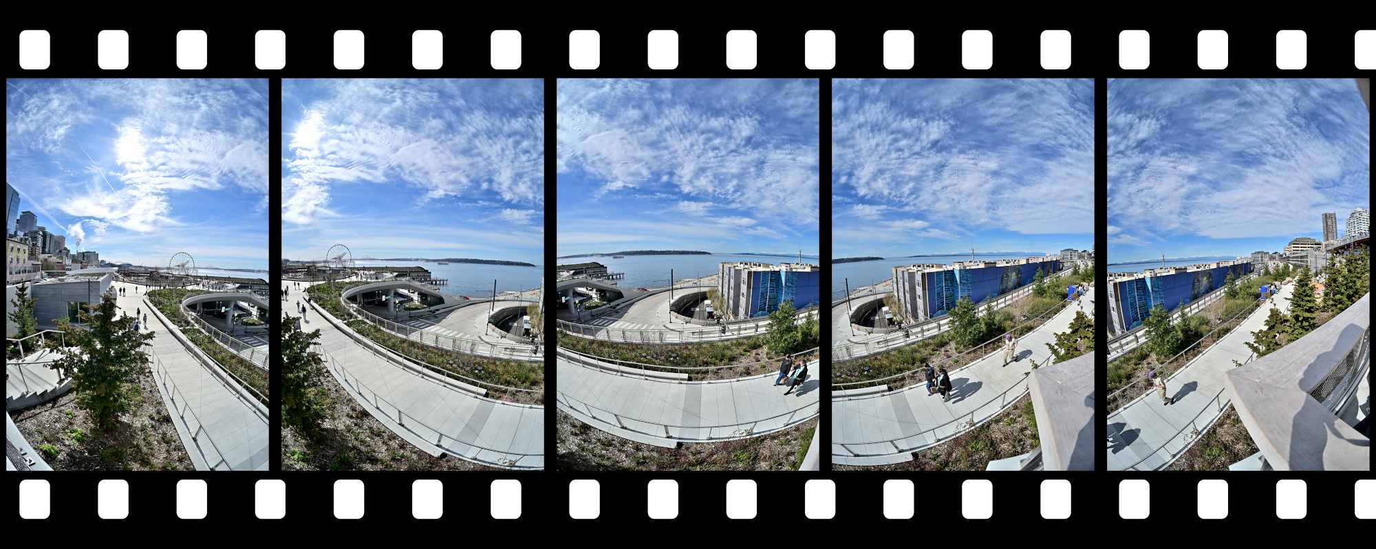
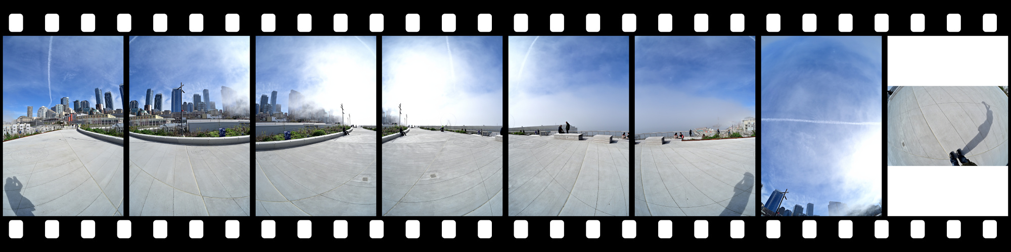
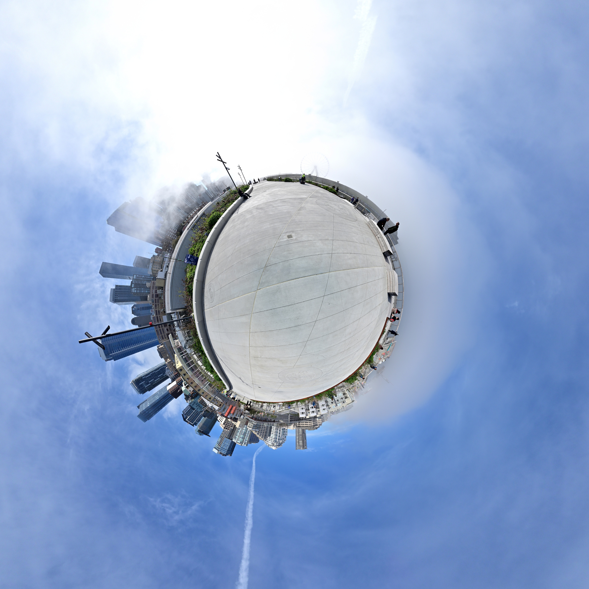
Seattle Overlook Walk 1
In the early morning, the fog drifts over the Puget Sound, creating a serene and mystical atmosphere.
Interactive Panorama Seattle Overlook Walk 1
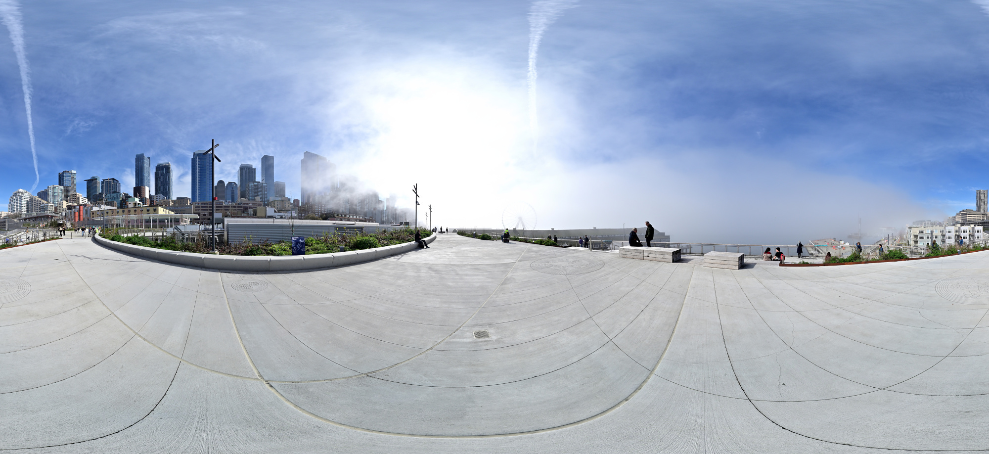
1/1000s f/5,6 ISO 100/21° f=7,5mm
Seattle Overlook Walk 2
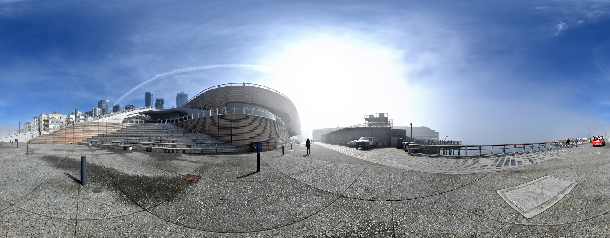
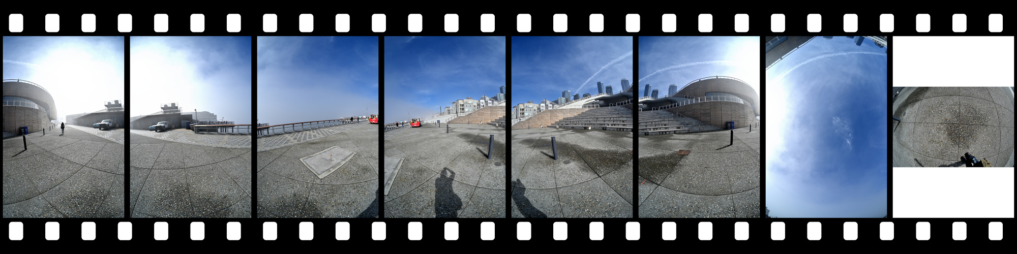
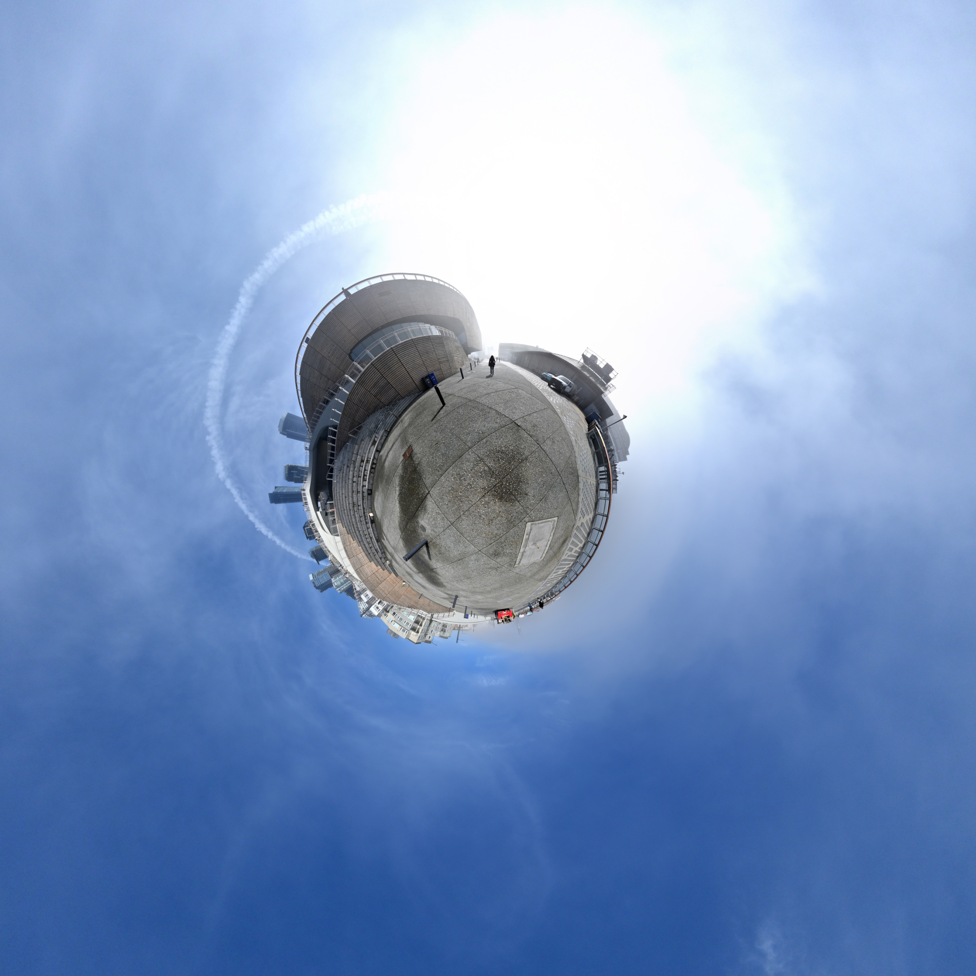
Early mist at the backside of the Ocean Pavilion.
It looks stunning at night with the illuminated steps (check out the gallery at waterfrontseattle.org). In this panorama, however, it feels more like a foggy London crime scene from an Edgar Wallace movie.Interactive Panorama Seattle Overlook Walk 2
1/1250s f/5,6 ISO 100/21° f=7,5mm
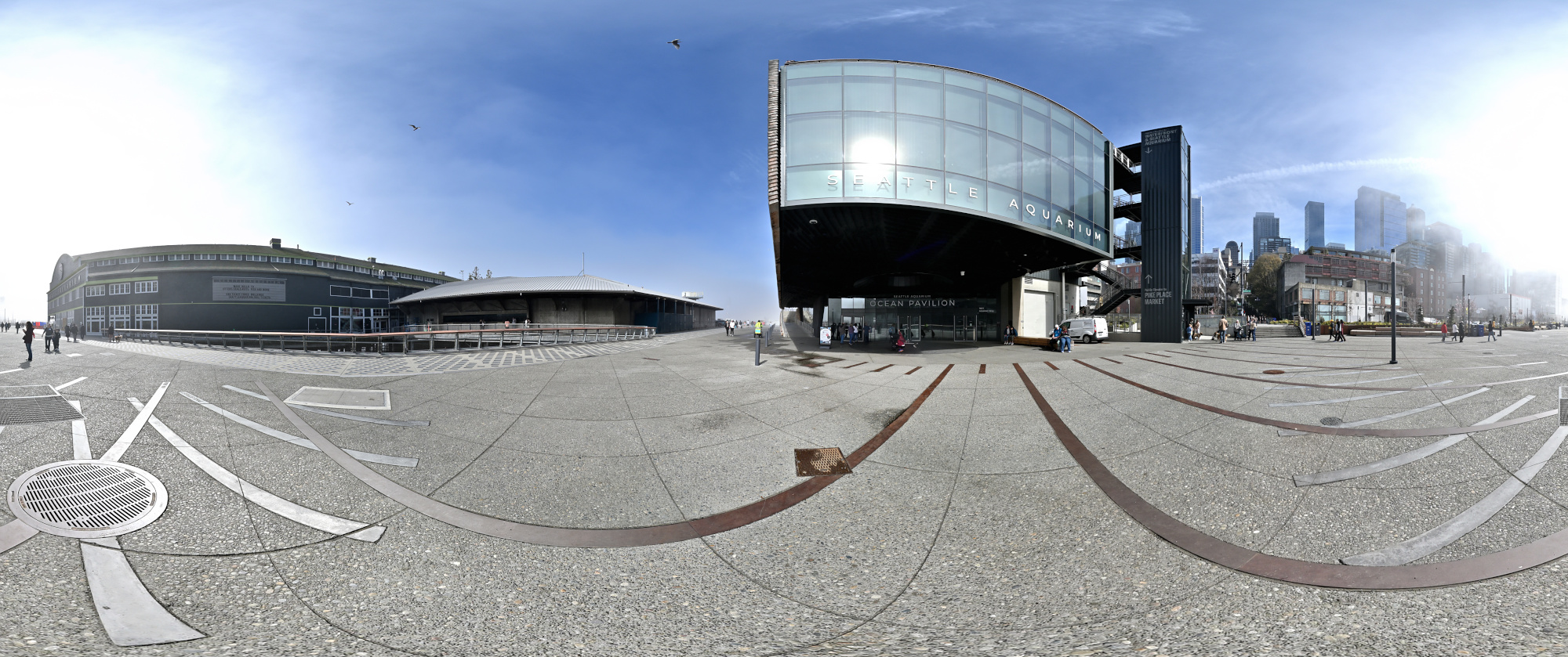
Seattle Overlook Walk 3
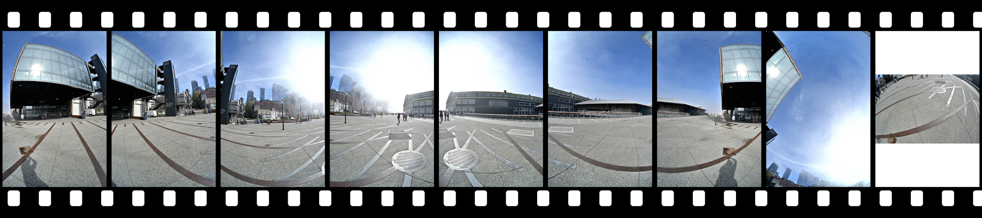
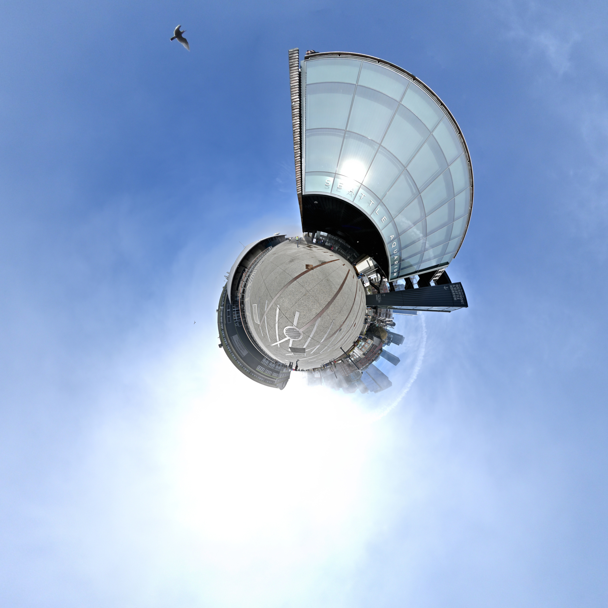
The sun reflects in the Ocean Pavilion.
Interactive Panorama Seattle Overlook Walk 3
1/1000s f/5,6 ISO 100/21° f=7,5mm
Seattle Overlook Walk 4
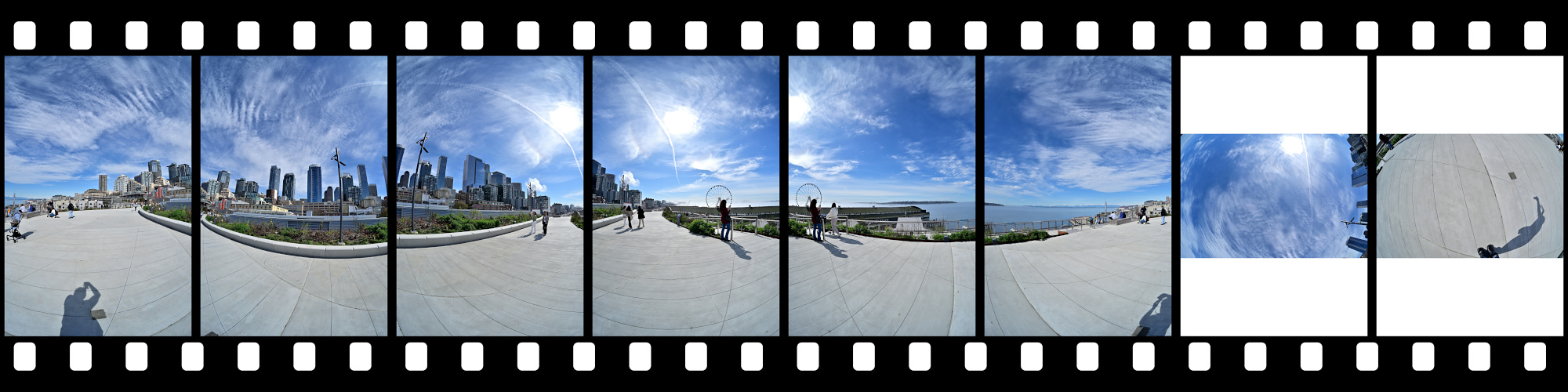
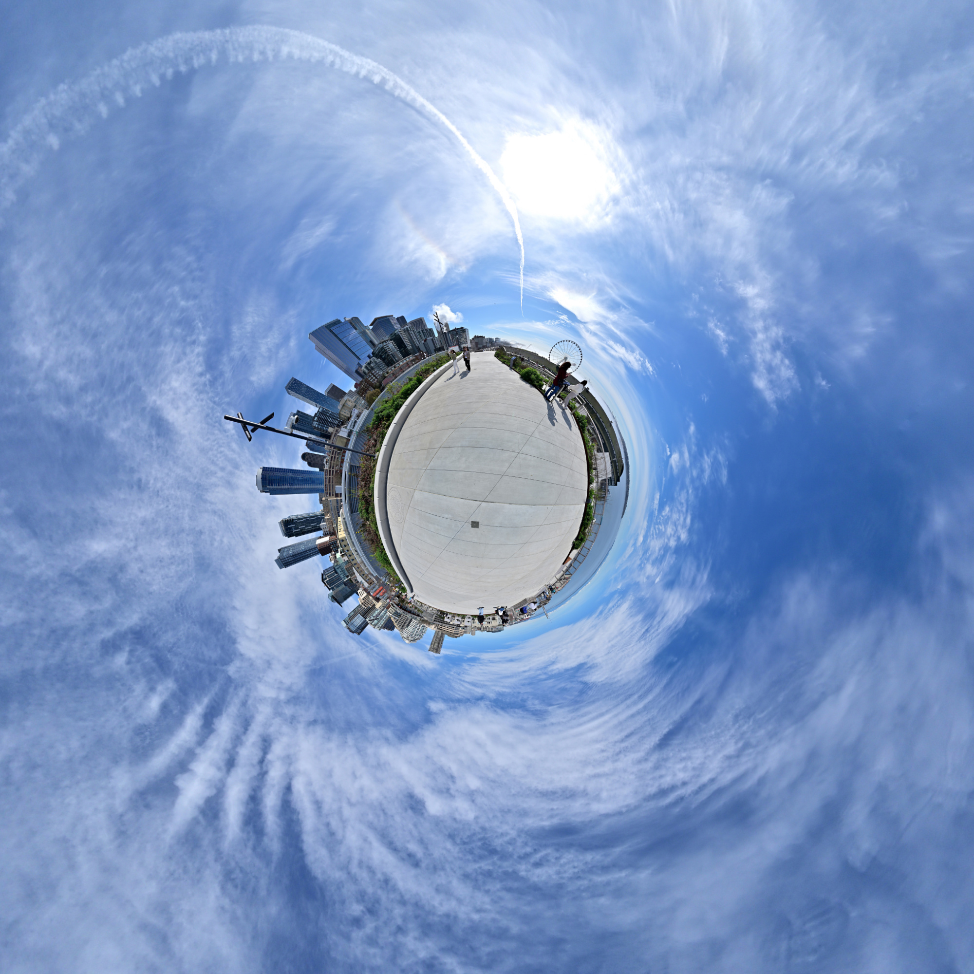
As the morning progresses, the fog lifts, revealing the Puget Sound in warm sunlight.
Interactive Panorama Seattle Overlook Walk 4
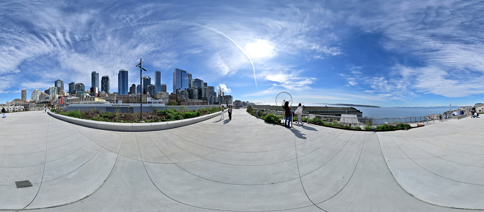
1/1250s f/5,6 ISO 100/21° f=7,5mm
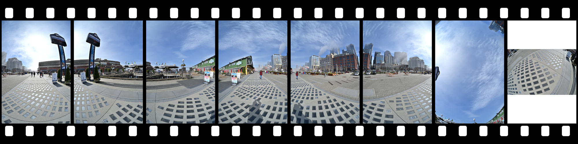
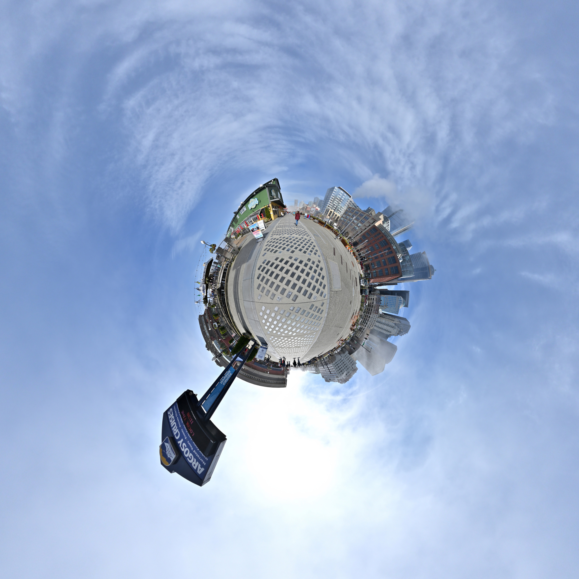
Seattle Pier 1
The Argosy Cruises at Pier 55.
Interactive Panorama Seattle Pier 1
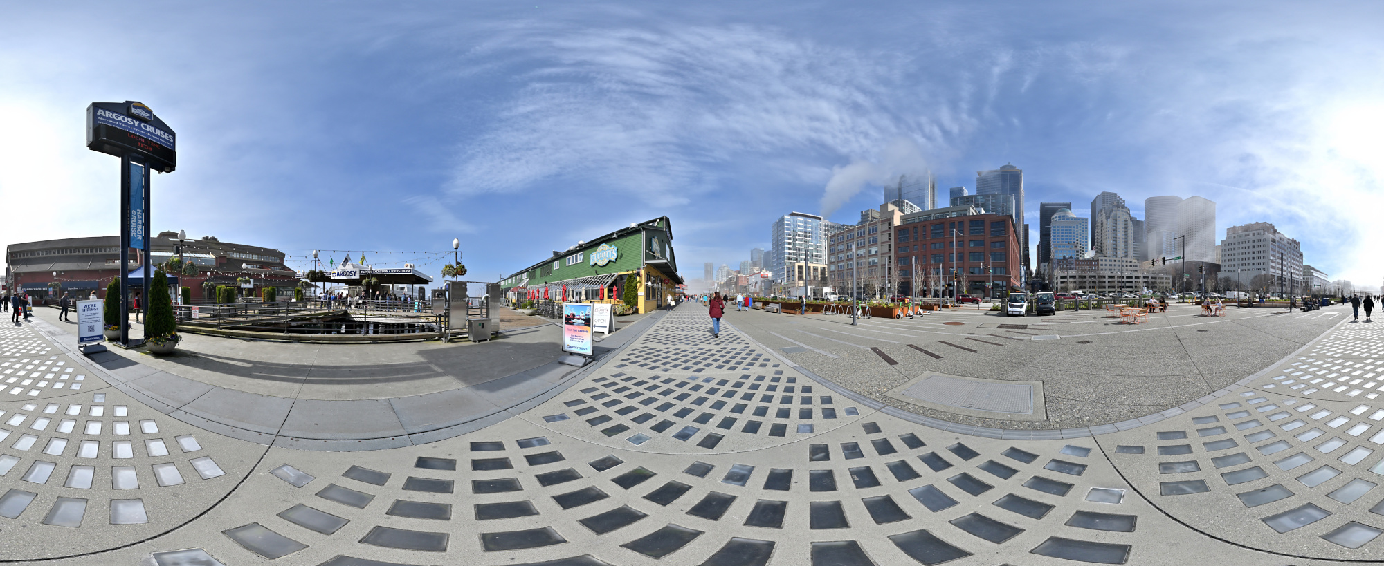
1/1250s f/5,6 ISO 100/21° f=7,5mm
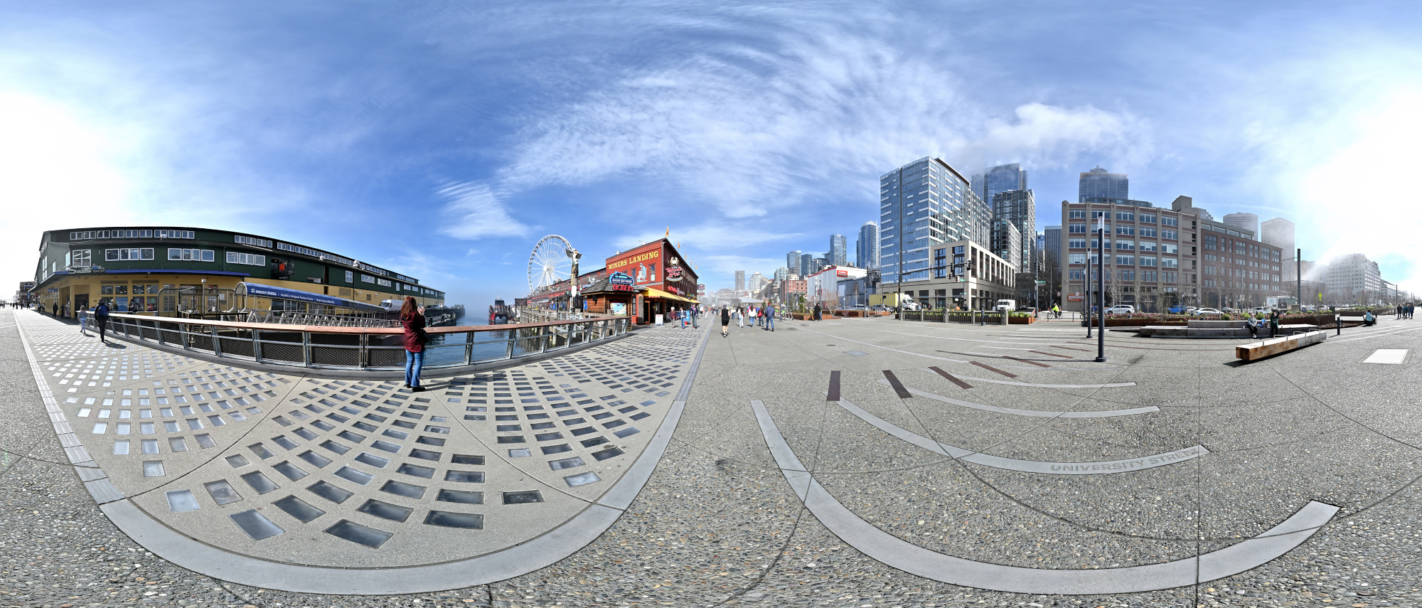
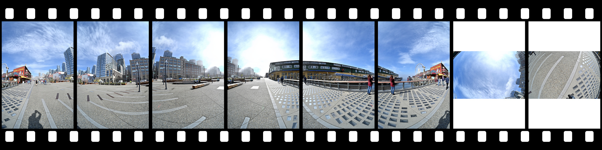
Seattle Pier 2
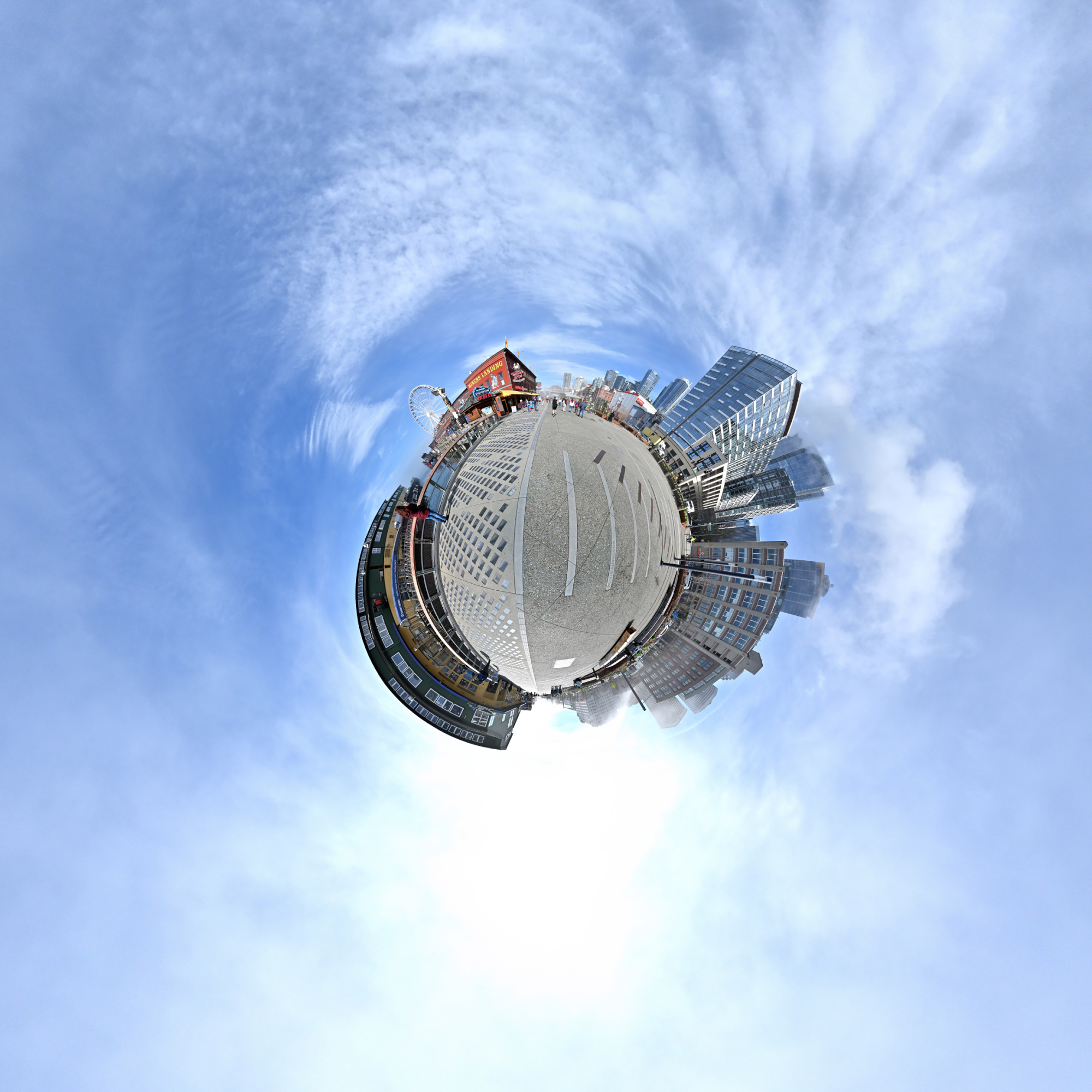
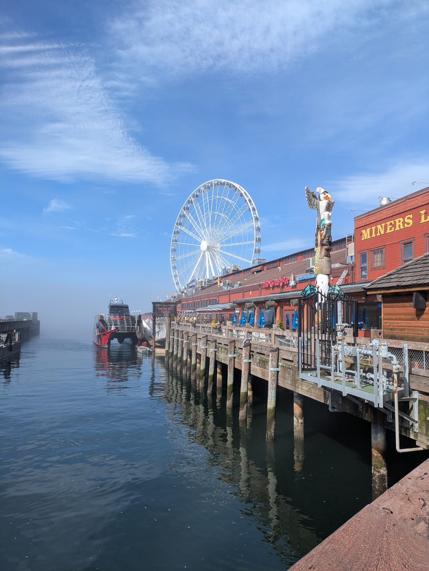
Miner's Landing at Pier 57 with 'The Seattle Great Wheel' in the back.
Interactive Panorama Seattle Pier 2
1/1250s f/5,6 ISO 100/21° f=7,5mm
1/2092s f/1,9 ISO 47 f=5mm/25mm 📱
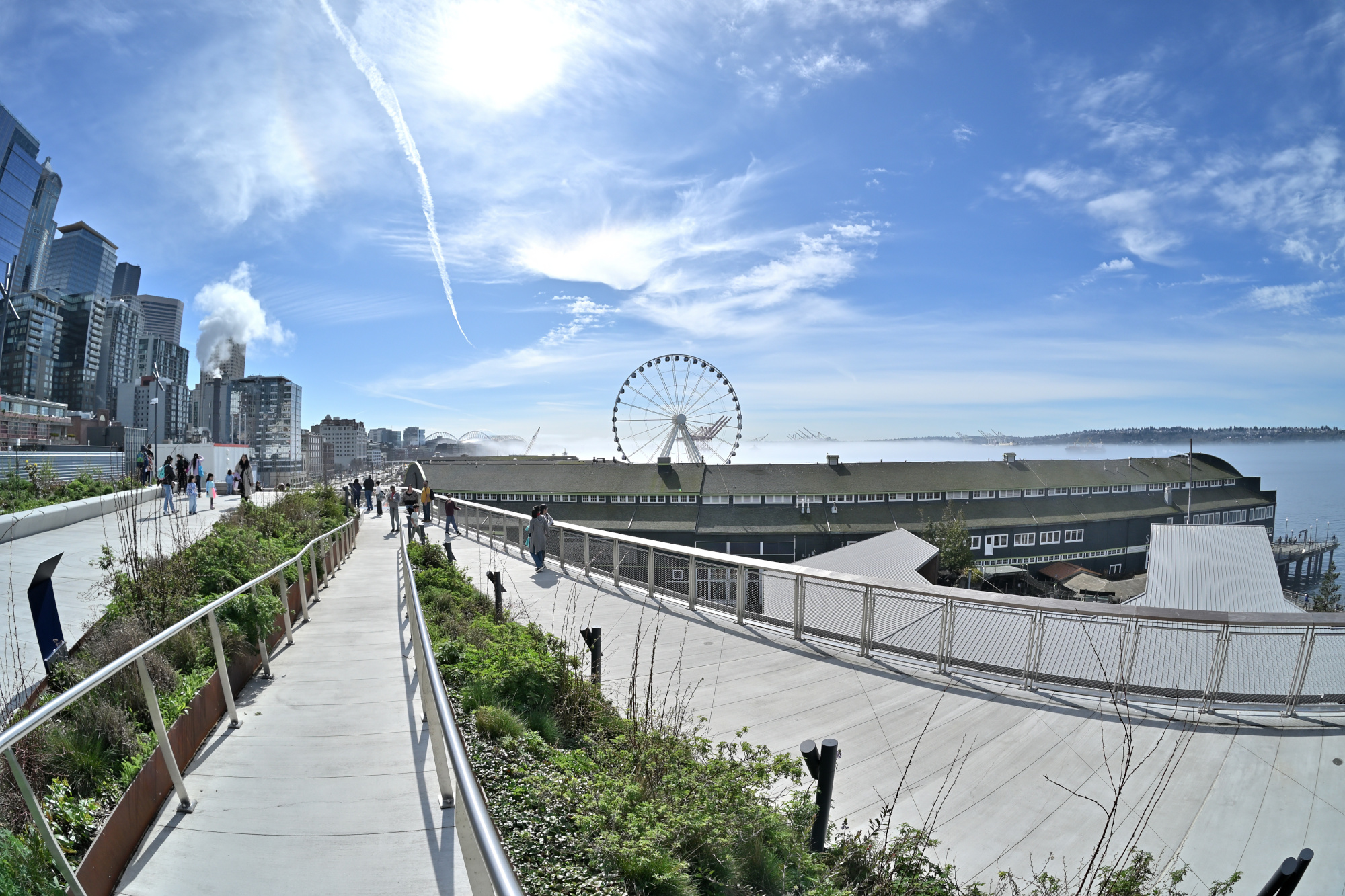
Taken a few minutes later from main Overlook Walk, with the fog still lingering.
1/1250s f/5,6 ISO 100/21° f=7,5mm
Seattle Public Market
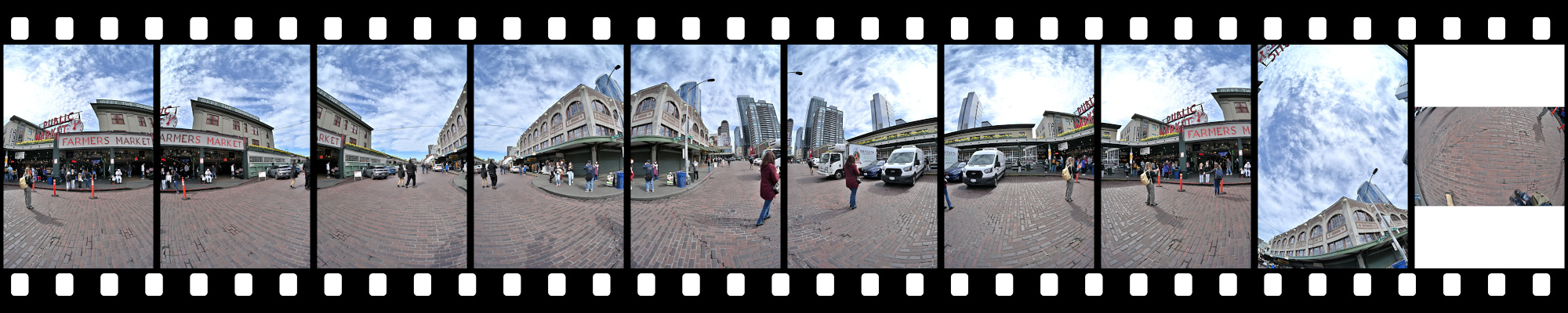
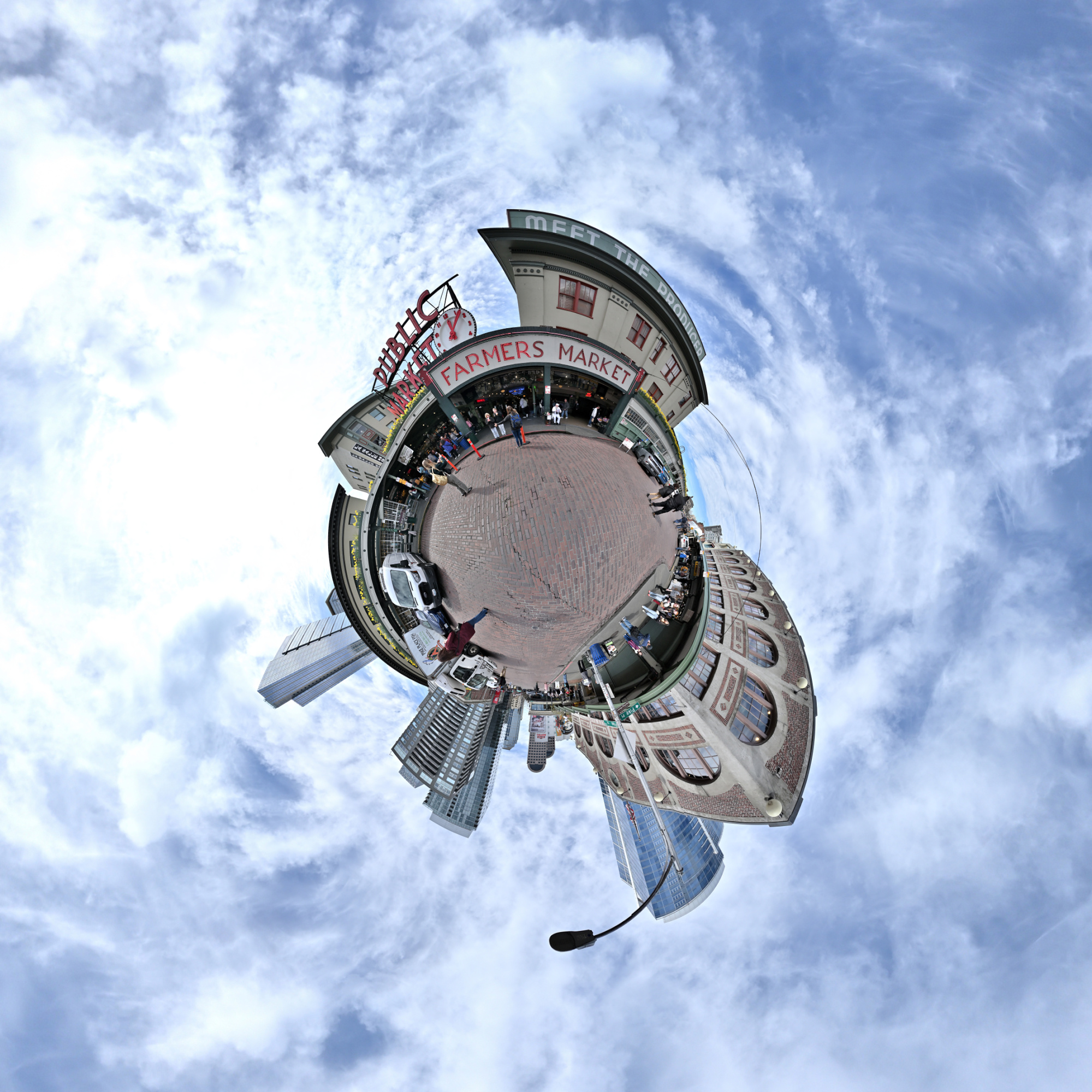
The Pike Place Market has been alive for over a century (since 1907) and has remained unchanged. Its resilience is evident in its ability to withstand the test of time, adapting to various economic and social changes while preserving its unique character and charm. Despite challenges such as modernization, economic fluctuations, and urban development, the market has continued to thrive, serving as a vibrant hub for local vendors and visitors alike.
Interactive Panorama Seattle Public Market
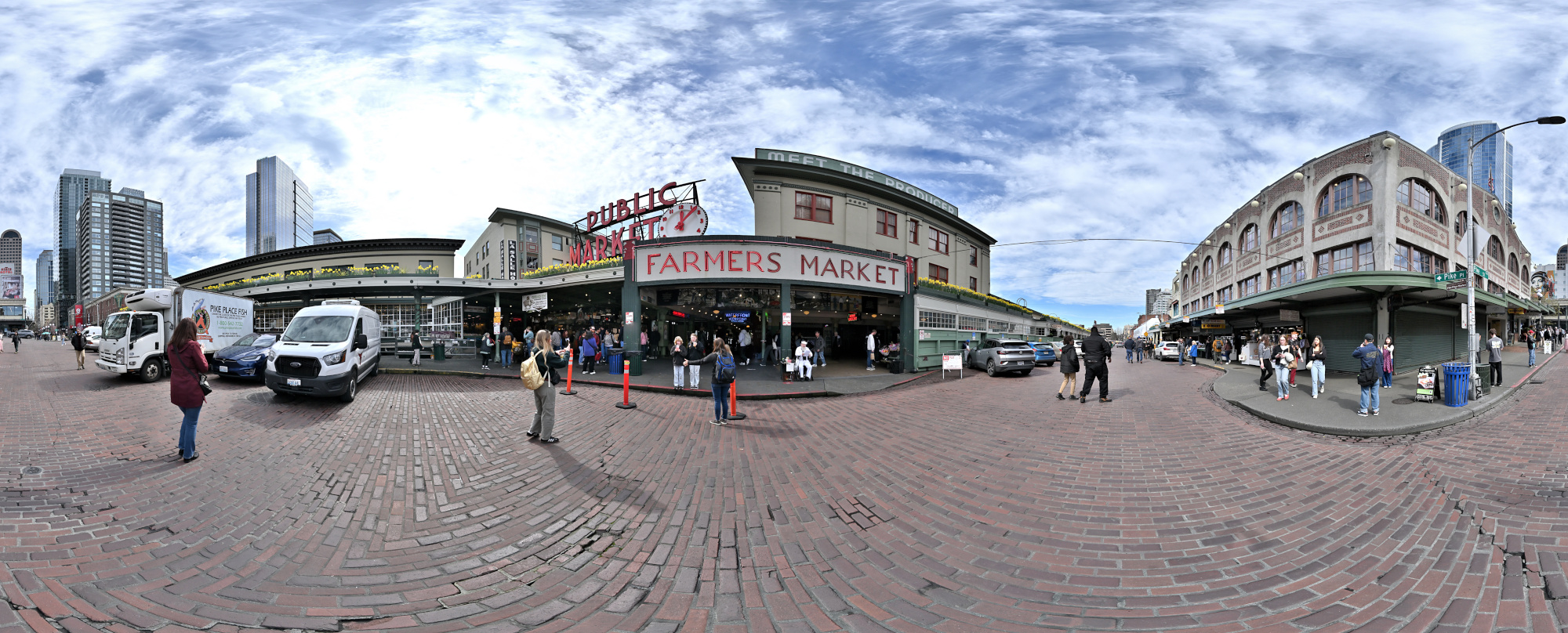
1/800s f/5,6 ISO 100/21° f=7,5mm
See also Panorama Pike Place Market, Seattle
