 |
Fall
foliage rides |
 |
October 27: A
chilly day with threatening skies, but the foliage is at
its peak. Let's go! |
 |
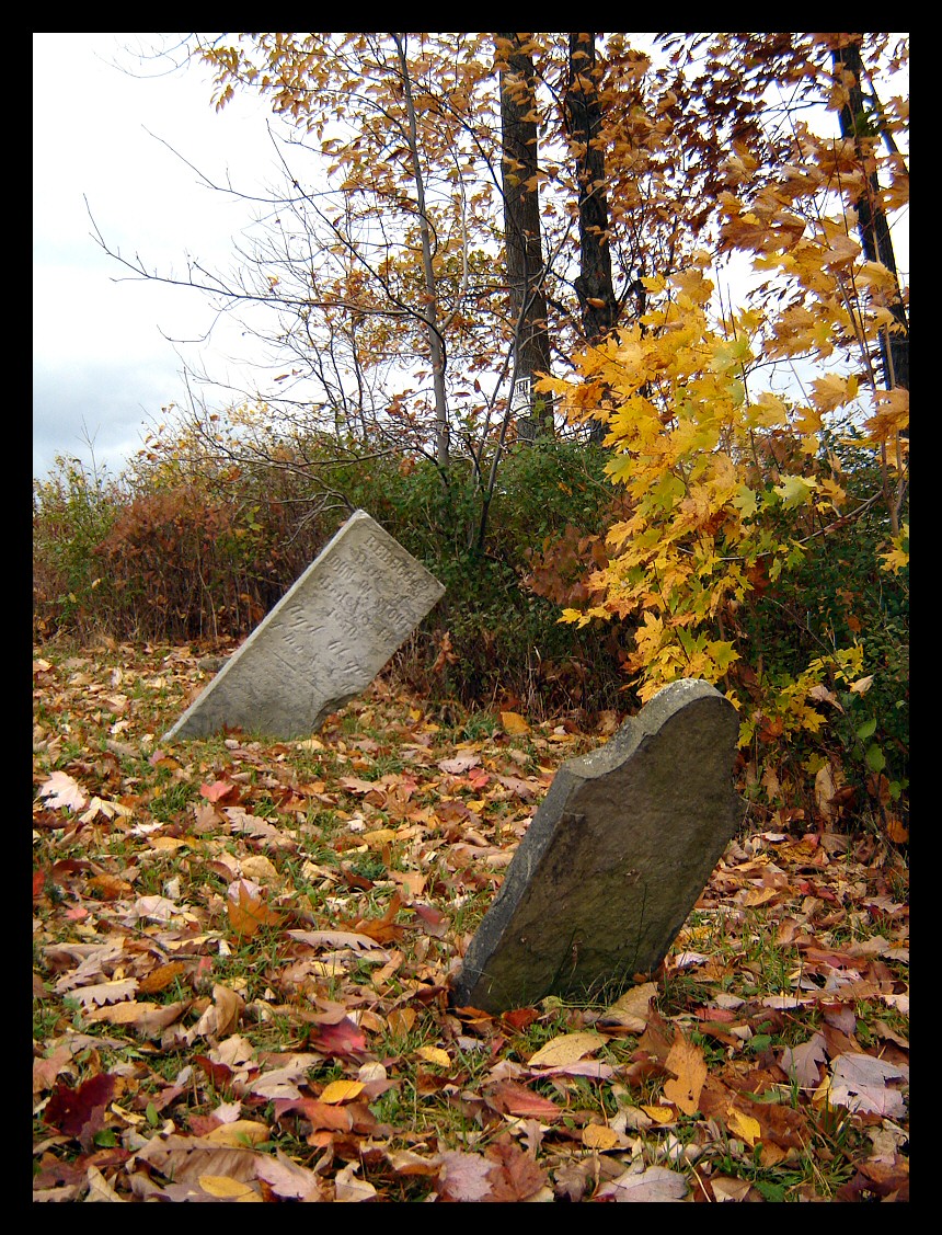
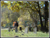
We rode up Mount Washington where
we made only one stop to explore a tiny cemetary. It
contains exactly two graves. |
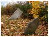 |
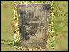
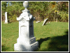
The marker in the foreground is
illegible but the other one marks the grave of Rebecca
Stout who's been pushing up daisies since 1850. |
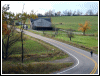 |
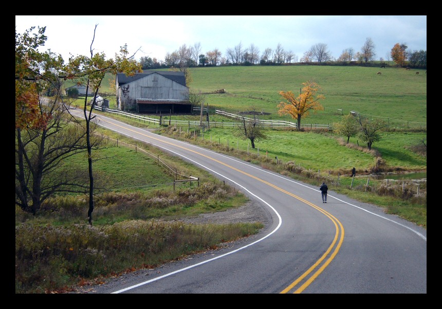
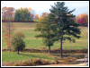
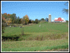
Looking down west, a typical
Steuben County horse farm. That person in the road is my
wife, Kathy. |
 |
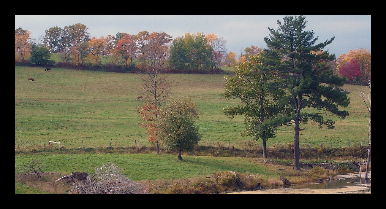
Foliage... |
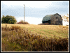 |
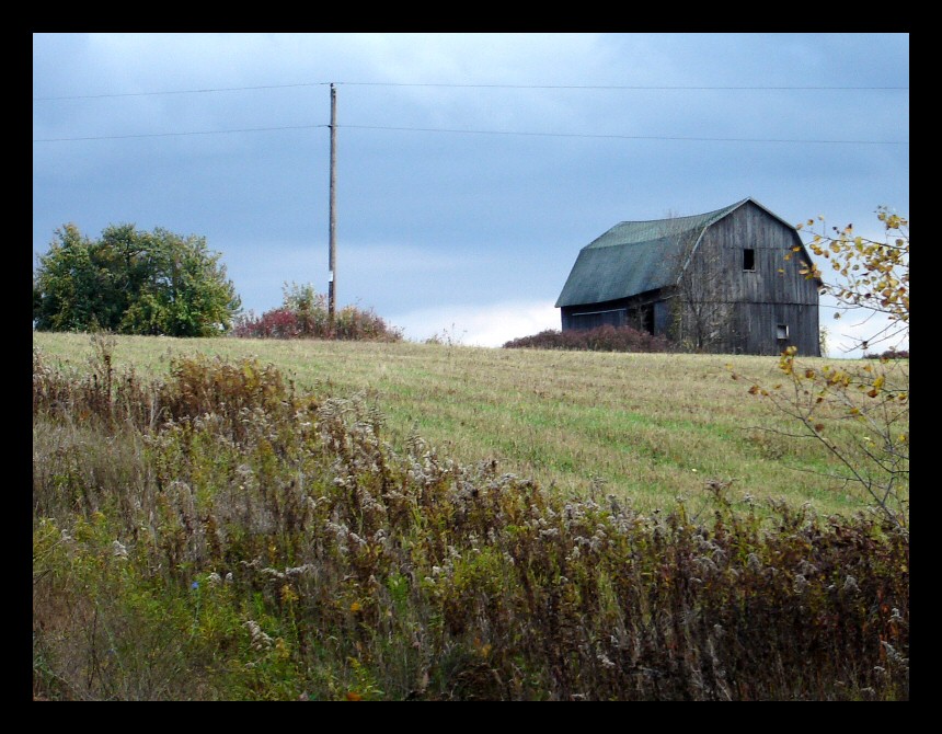
...and an abandoned barn further up
the road. We rode all the way to the top and then down
into Hammondsport with a quick stop in Pleasant Valley to
buy grapes, one of the main agricultural products from
the Finger Lakes region. |
|
|
|
October 20: A lazy
day in late October with clear skies, temperatures around
80°F and foliage nearing its peak. Can you think of a
better time to be in the saddle? My wife accompanied me
for a ride over to the Canisteo River Valley via farm
roads and logging trails. The ride ended up occupying the
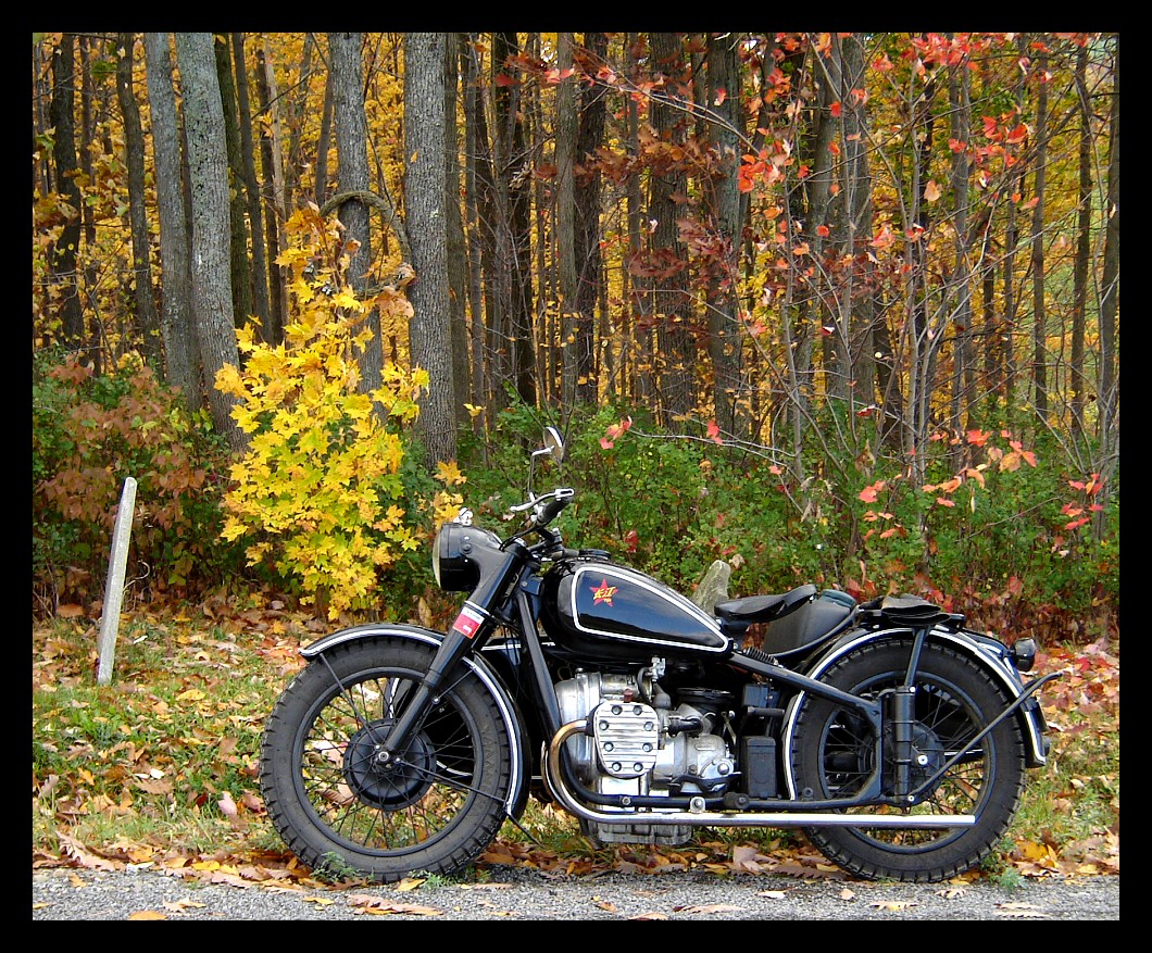
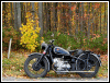
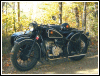
better part of the afternoon. We rode the black M1 I got
from CJS in Beijing, and as always, the
bike performed like a champ. |
 |
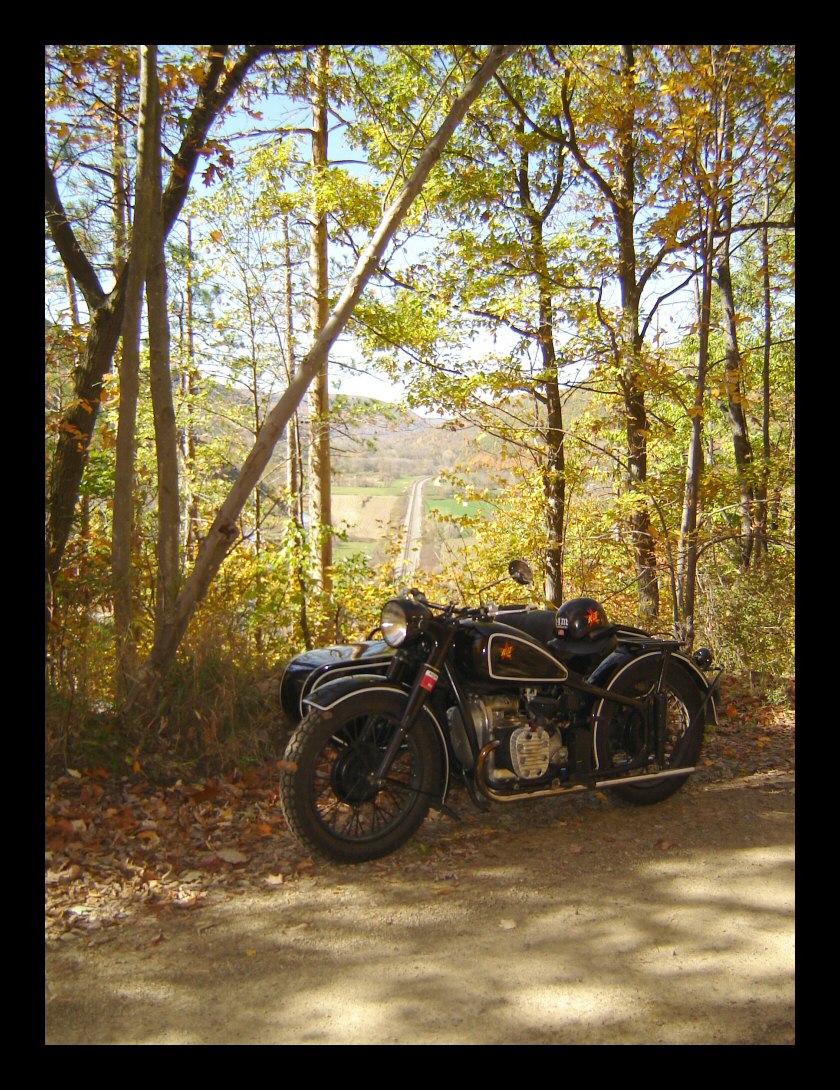
Our first stop was about midway on
the descent into the valley. |
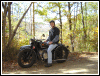 |
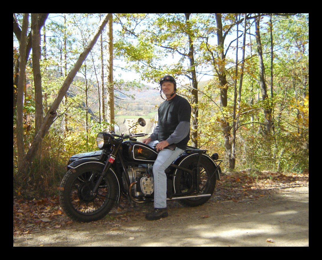
Kathy insisted on
this picture. Lucky you. |
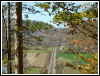 |
This is a typical view looking west
from midway down the mountainside we descended. The
railway line running through the valley has been there
since the 1840s. It was originally part of the Erie
Railroad and is today operated by Norfolk Southern. The
Delaware & Hudson also runs trains on this line. You
can barely see part of the Canisteo River to the left of
the tracks. This valley is full of eastern diamondbacks. |
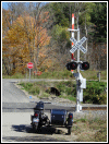 |
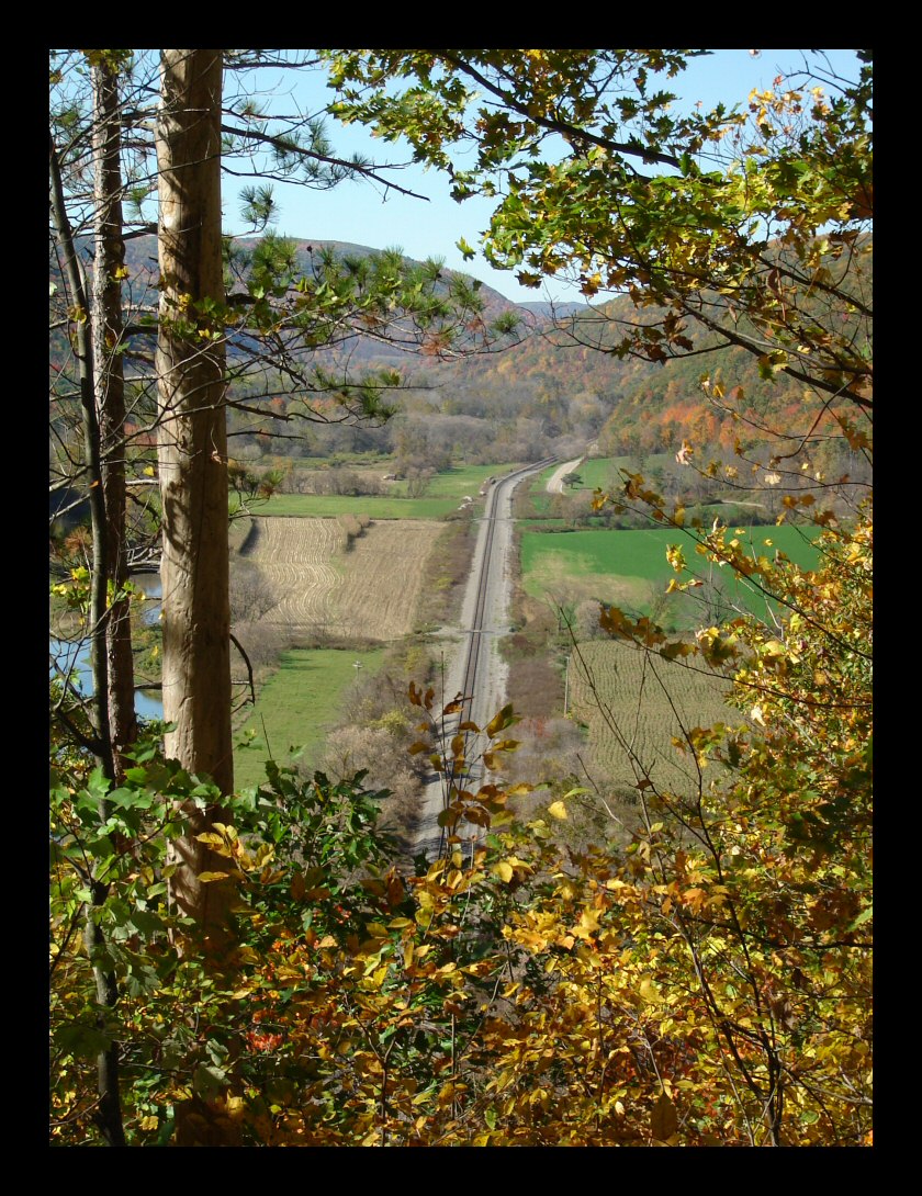
This is Brown's Crossing. At this
spot, early settlers made their winter camp, waiting for
the spring thaw so they could float lumber down the
river—final destination, Philadelphia. Indians
joined the settlers for trading and to this day, the
nearby cornfields are ideal places to hunt for coins,
buttons and other artifacts. This is also a popular spot
for railroad enthusiasts to do photography. This view
really doesn't do the scene the justice that it deserves. |
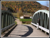 |
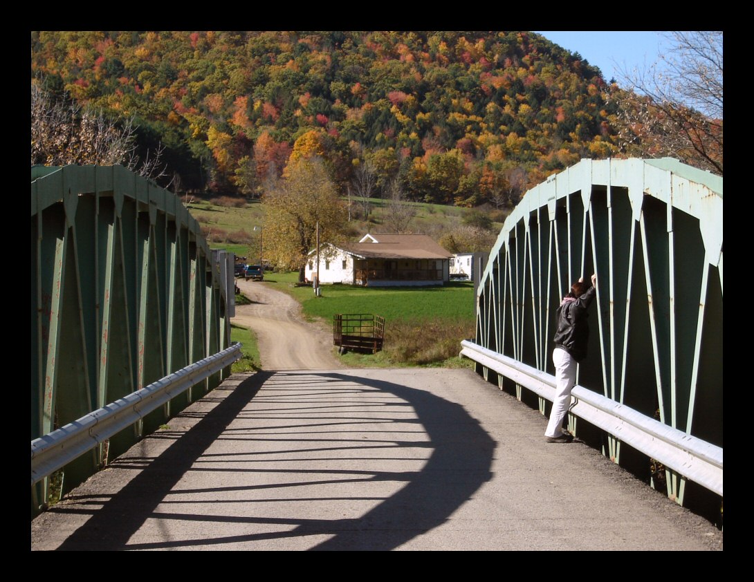
Looking in the opposite direction
we see this bridge spanning the Canisteo River, and a
small farm in the distance. This bridge replaced an iron
truss bridge that dated to the 1890s. It's only about 15
years old. |
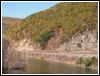 |
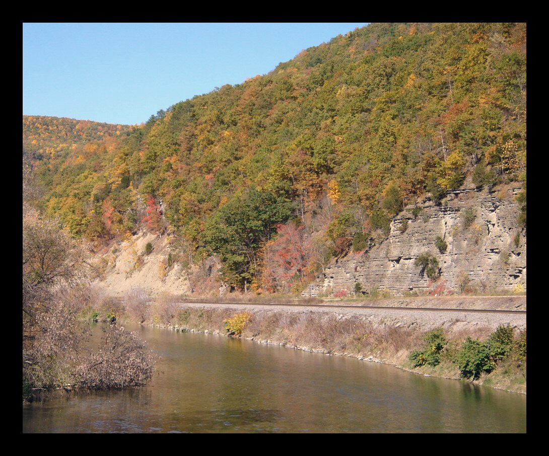
The view west from the bridge shows
the river, the railway and the shale cliffs behind it. A
county road follows the river then entire length of the
valley, approximately 30 miles or so. |
 |
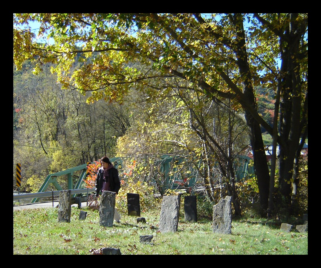
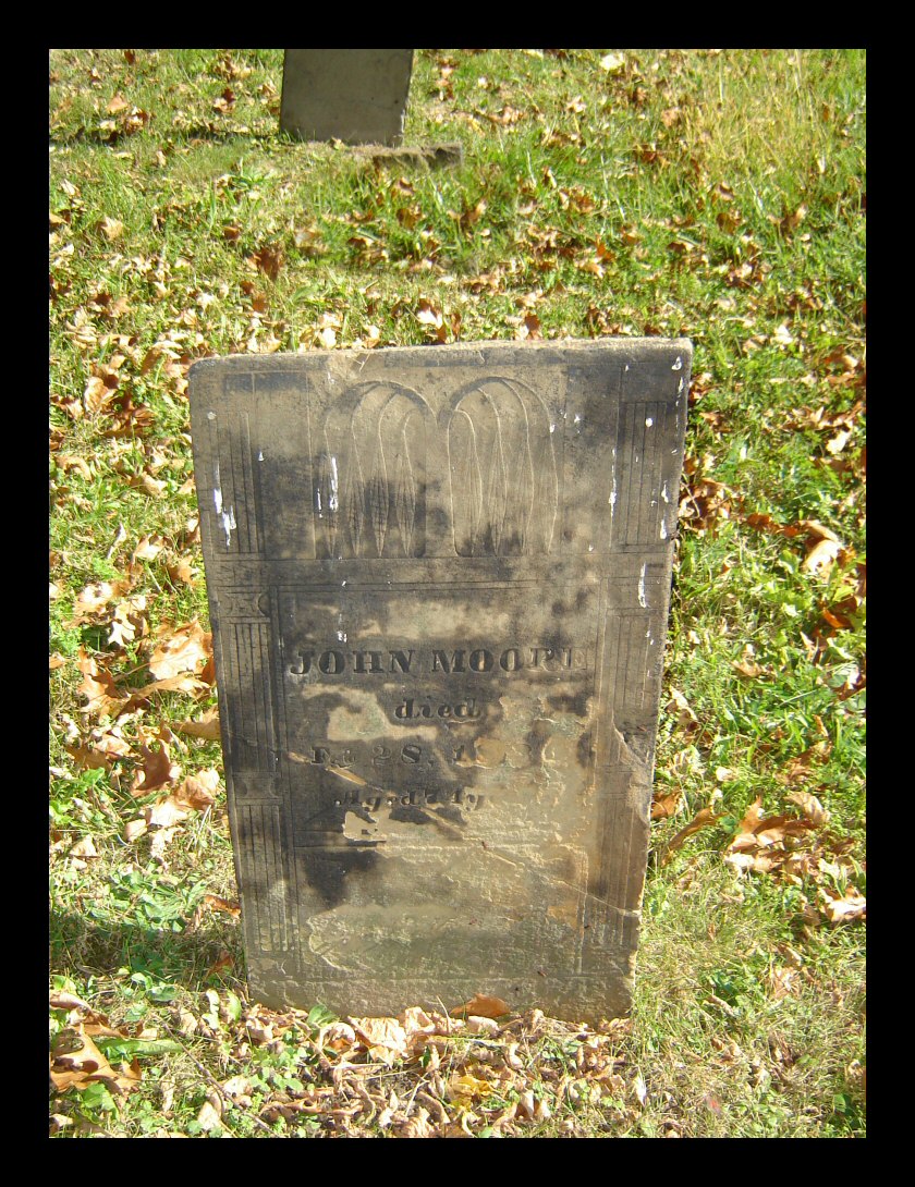
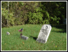
Brown's Cemetery is in the corner,
right between the the tracks and the river. There aren't
but a dozen graves here and only two markers are still
legible. |
 |
Here lies John Moore, died; 1836. |
 |
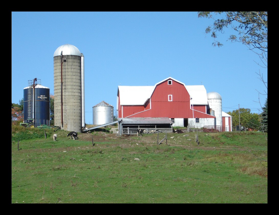
Riding home on Oregon Road, we
passed a few farms including this nicely secluded dairy
farm, so typical of those found throughout Steuben
County. |
 |
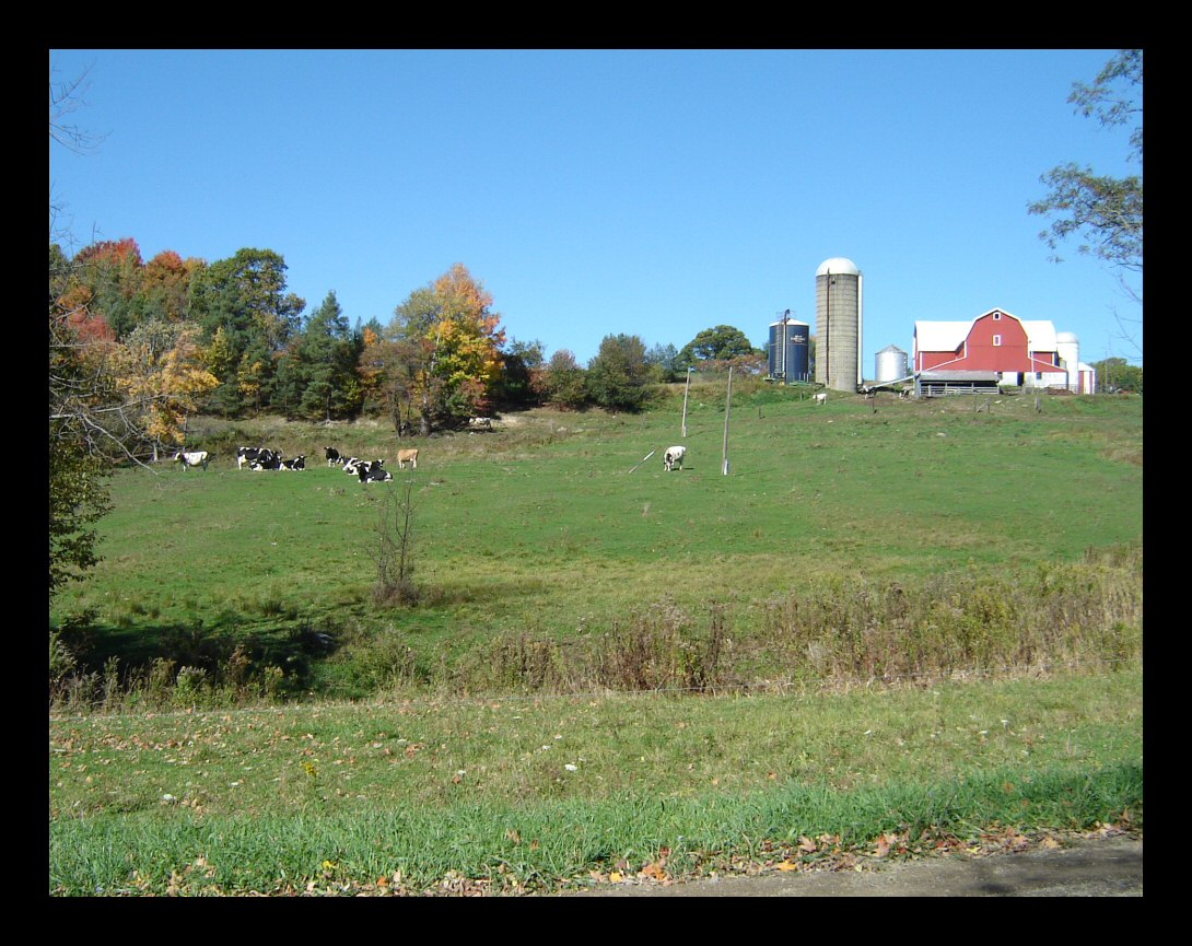
This slightly more distant view
includes part of the herd. |
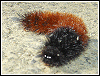 |
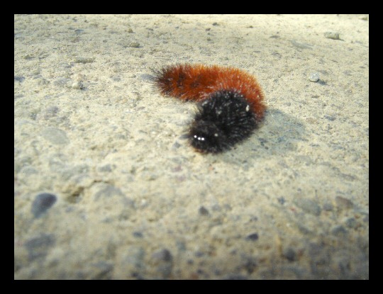
Wooly bears are everywhere this
time of year. I started out counting all the ones I saw
in the road but eventually gave up, but I did manage to
avoid squishing any. Did you ever wonder just where the
heck they're going? If you didn't already know, wooly
bears grow up to become Isabella moths. |
 |
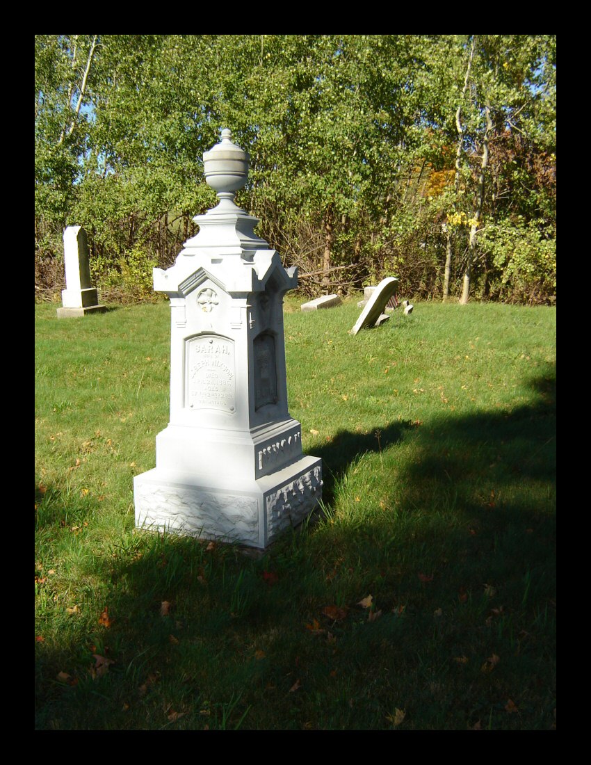
A fourth stop was the Unionville
Cemetery just south of our town on county route 10. This
is a moderate sized cemetery dating to the the early
1800s. It's been fairly neglected and thoroughly
vandalized. This particular marker is actually made out
of cast iron. It dates to 1885. These iron markers can be
found in other local cemeteries. |
 |
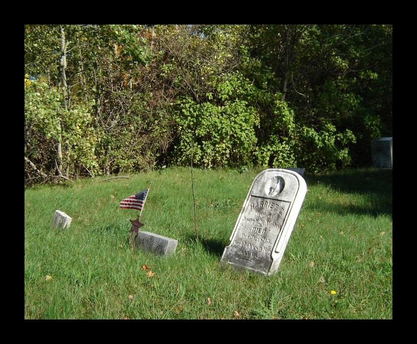
The flag marks the grave of a Union
veteran from the Civil War. The flag holder has a star
marked GAR for Grand Army of the Republic. |
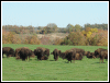 |
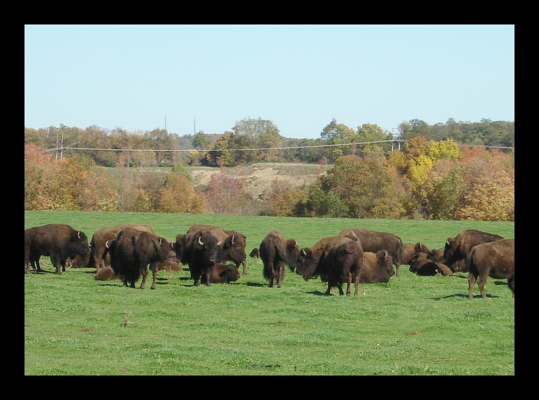
Not far from home is a bison farm.
These guys are destined to become burgers. |
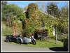 |
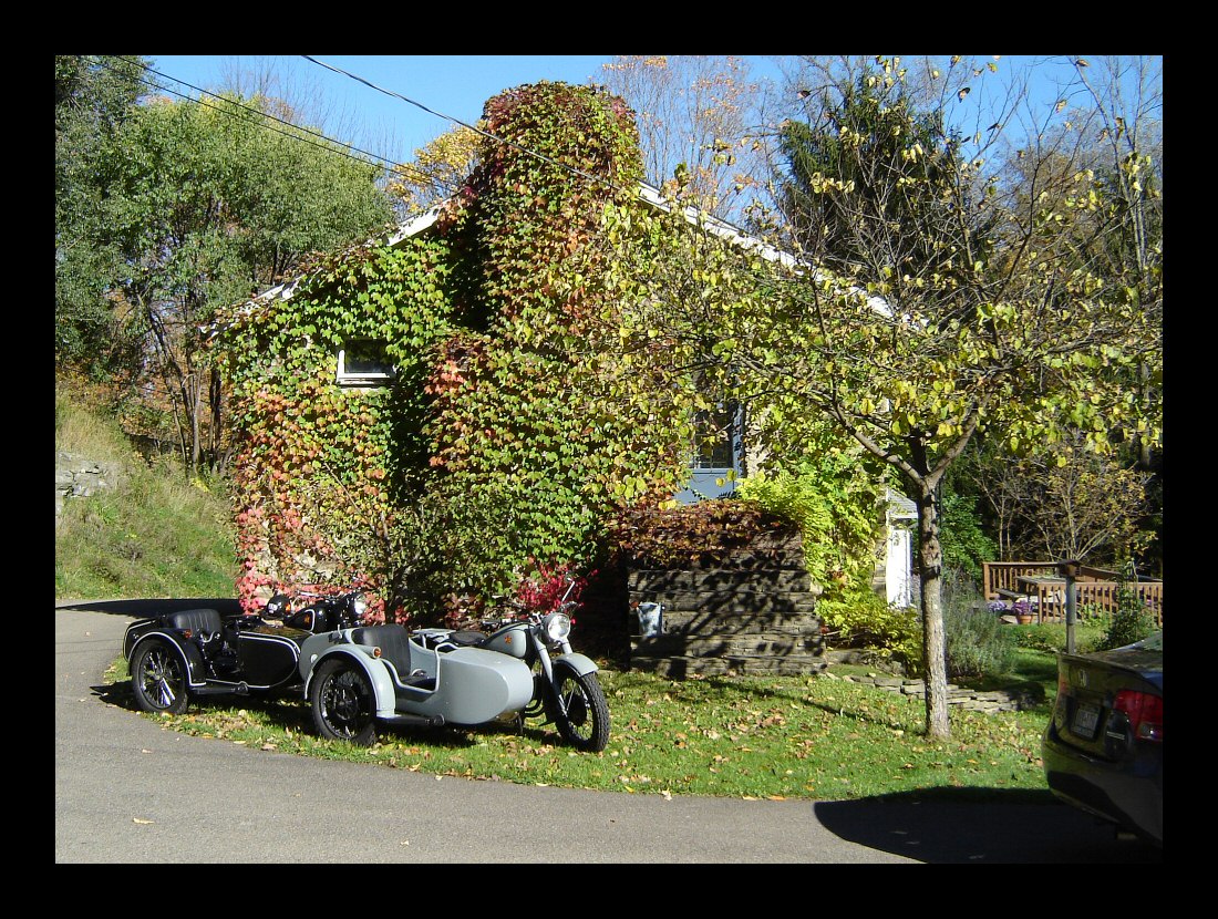
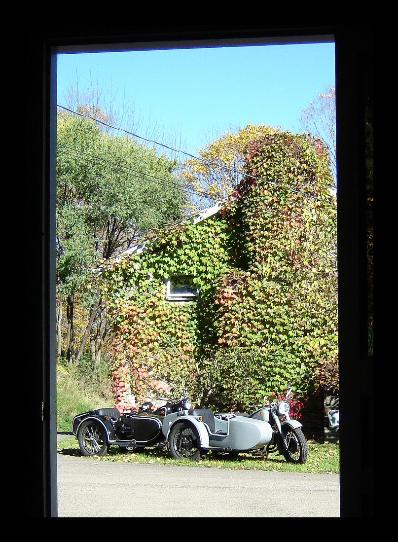
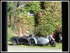
And finally, we're back home again.
Here are the bikes parked by the end of our house. Those
ivy leaves will soon be gone. |
 |
This is pretty much the same scene,
but viewed from inside my little shop. |
 |
|
|
|
|
|